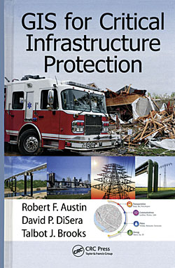
GIS for Critical Infrastructure Protection
By Robert F. Austin, David P. DiSera, and Talbot J. Brooks
The target audience for this book is twofold: GIS professionals who need a foundation in critical infrastructure protection (CIP) and professionals working in CIP who are unfamiliar with the application of GIS to their field. This includes CIP professionals who work in government or private sectors. After introducing the theory that underpins the use of GIS for CIP, four case studies illustrate the effective application of GIS in responding to natural and man-made disasters. Theory and practice cover not only the types of infrastructure that immediately come to mind, such as bridges and transportation networks, but also cyber-based, banking and financial, and other types of systems that play a vital role in the economic and physical well-being of populations. The authors are all past presidents of the Geospatial Information and Technology Association (GITA) and have both academic credentials and real-world experience. CRC Press, 2015, 250 pp., ISBN 978-1-4665-9934-5

ArcGIS Blueprints
By Eric Pimpler
GIS professionals who have some experience in developing applications for ArcGIS for Desktop can learn how to enhance those development skills. This book shows how to automate processes and improve productivity using ArcPy and other Python modules and build tools that access REST services to download data. The author is the founder and owner of GeoSpatial Training Services and has more than 20 years of experience teaching GIS and open-source technology. He has written several other books on the use of Python with ArcGIS including Programming ArcGIS with Python Cookbook, second edition. Packt Publishing, 2015, 356 pp., ISBN: 978-1-78528-622-3

