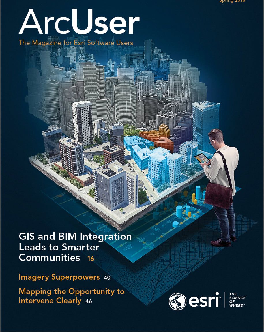
For nearly 50 years, Esri has helped organizations achieve better outcomes by making processes simpler, faster, and cheaper using a geographic framework, or The Science of Where.
Initially these benefits were realized on the project level by integrating data, analyzing relationships, and producing new information for better decisions. Over the years, the application of GIS expanded from projects to departments then the entire enterprise and finally to collaborations between organizations. Accompanying this change in scale was an increase in availability. The ArcGIS platform now supports GIS across desktops, servers, mobile devices, and the cloud.
The ArcGIS platform continually incorporates new developments in IT. This issue includes articles about how GIS integrates some of the most promising and powerful aspects of IT such as artificial intelligence, real-time analysis of big data, integration of building information modeling (BIM), and scalable processing in the cloud so that enormous jobs that were previously impractical or just impossible can now be handled.
As GIS capabilities have expanded, so have its uses, as illustrated by the ArcGIS Common Patterns of Use poster included in this issue. The original common patterns—mapping and visualization, data management, sharing and collaboration, and decision support—have increased in number and now include field mobility, monitoring, analytics, design and planning, and constituent engagement.
These patterns of use provide the foundation for building smart communities and better outcomes not just for organizations but also for the world. Esri’s commitment to this original goal is brought out in “Systems that Serve,” an interview with Scott Morehouse. For many years the director of software development at Esri, Morehouse stepped back from this role to work with research and development teams at Esri that are developing GIS technology for urban systems and civic engagement. When explaining this move, Morehouse said, “I want to build systems that serve people—systems to guide, direct, or organize the civic process.”


