Students in the Masters of Advanced Study in Geographic Information Systems (MAS-GIS) program at Arizona State University (ASU) have a unique opportunity to gain insights into the practical application of GIS in city government.
They have this opportunity because MAS-GIS program director Stephanie Deitrick, in addition to her responsibilities at the university, is the City of Tempe’s enterprise GIS manager.
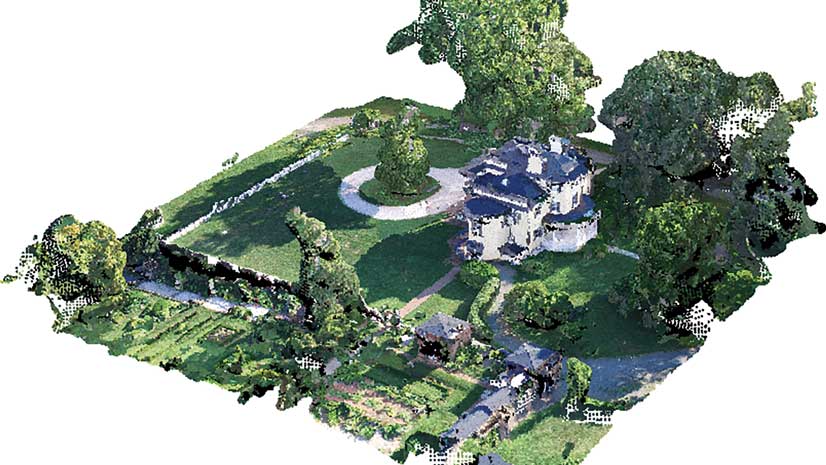
Deitrick has set up a program with the city that allows students to attend some planning meetings and work on some city projects. This gives them a sense of what to expect in the real world. Students also propose their capstone projects to the city to fulfill an MIS-GIS graduation requirement.
The program, now in its 12th year, has earned a strong reputation for both its academic success and the career paths it opens for its graduates. Between 30 and 50 students are selected annually for the yearlong MAS-GIS program, which provides advanced study in the management and use of GIS technology. The program uses ArcGIS as its instructional platform.
Students accepted into the program come from a variety of academic disciplines. “I find that students have a greater opportunity for success in this program if they have already developed a discipline-specific background, either by profession or education,” said Deitrick.
“I think this real-world experience is very important. The classwork will always appear abstract to them until they actually see how GIS is used in a practical sense,” said Deitrick. “Understanding the interaction between the city council and various departments to get agreement on a project and then developing the needs assessment document, as well as defining the workflow and processes required to complete the project, are very important lessons. It allows the students to better understand the importance of working with other stakeholders to successfully implement a GIS-based project.”
Part of Deitrick’s job with the city is to visit each department, evaluate its current map production workflows, and make recommendations for improvement if necessary. She found that the Tempe fire department regularly issues a large printed map book containing nearly 200 street maps to crews on each of its fire trucks. The background color of the maps is bright yellow, and the details are drawn in red. As a cartographer, her initial reaction was to change the color scheme.
However, Deitrick learned that when it was dark or when the smoke is thick, firefighters need oversized maps drawn in colors that are easy to see. In addition, they needed maps that can be easily shared without relying on a digital display.
“This really struck me,” said Deitrick. “I realized how important it was to clearly understand and meet the needs of the user regardless of what I knew, or thought I knew, as a cartographer, and that is something that I teach in my classes.”
Deitrick’s solution for the fire department will be to create printed maps using ArcGIS that are identical in appearance to those being used by the department. The added benefit is that they can be easily edited with ArcGIS and viewed in ArcGIS Online.
“My work with the city can be quite varied,” concluded Deitrick. “This is something else that I like to emphasize to my students. There is always a new and interesting project when you are working with GIS. That’s why it’s important to develop your problem-solving capabilities using the technology.”
Deitrick is currently working to put into production an interactive map to enhance the capabilities of the Access Tempe website for the city’s Americans with Disabilities Act initiatives. This was originally a capstone project started by her students last year.