Learning ArcGIS Geodatabases
This book provides practical instruction on authoring, managing, administering, and optimizing ArcGIS geodatabases. It is suitable for geospatial developers new to the geodatabase architecture or those who want to migrate legacy geospatial data to the geodatabase. The book also covers the use of Python to author a geodatabase programmatically and how to configure a networked enterprise geodatabase. The author, Hussein Nasser, is a senior GIS solution architect at the Electricity and Water Authority in Bahrain and has been in the field since 2006. In 2007, he won the annual ArcGIS for Server Code Challenge at the Esri Developer Summit. Previously he worked for Khatib & Alami, the leading Middle Eastern engineering company. He has authored other GIS books including Administering ArcGIS for Server. Packt Publishing, 2014, 150 pp., ISBN-13: 978-1783988648
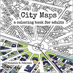
City Maps: A coloring book for adults
By Gretchen N. Peterson
Gretchen N. Peterson, author of Cartographer’s Toolkit and GIS Cartography, provides an antidote for stressed geogeeks in her newest book, City Maps: A coloring book for adults. As you color 40 bird’s-eye view maps of the largest metropolitan areas in the world, you will likely realize the therapeutic benefits of relaxation and mindfulness that have made adult coloring books all the rage since 2013. These intricate maps of London, Dkaha, Istanbul, Los Angeles, Tokyo, and other cities have real building footprints and road outlines depicted at scale. PetersonGIS, 2016, 94 pp., ISBN-13: 978-0692670934