
Bringing geography to life and then sharing that information using the ArcGIS platform was the talk of this year’s 2013 Esri Federal GIS Conference, which drew more than 3,600 people to the Walter E. Washington Convention Center in downtown Washington, DC.
What attendees also learned from Plenary Session talks, Exhibit Hall visits, and the technical and paper sessions was that change is brewing in the world of geospatial technology. Solutions are moving away from client/server architectures to an application and device framework that gives people services they can easily use. Esri’s ArcGIS is evolving from a collection of tools to a framework that is open and extendable so it fits into an organization’s systems across many platforms.
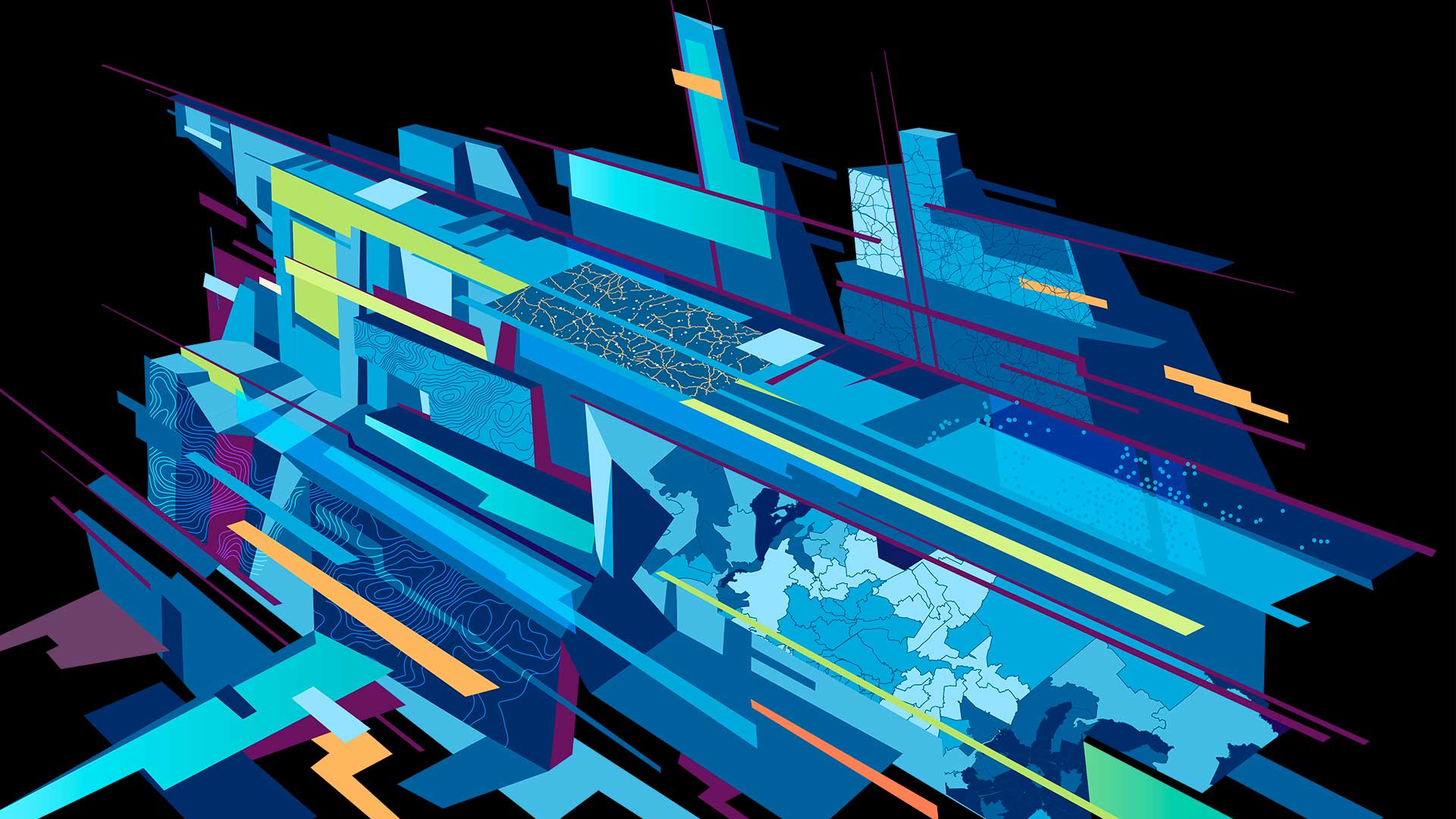
“As GIS users, we are bringing information sets together using geography as a common framework,” said Jack Dangermond, Esri president, during the Plenary Session. “We can create content to be shared, served, and made into apps for others to easily use. Today we are realizing that geography is a fundamental science for understanding our world, and GIS makes it come alive in applications.”
New Content Available on ArcGIS Online
Users can begin creating these new applications with an amazing amount of new content, such as imagery and landscape services, coming soon to Esri’s cloud-based hosting service ArcGIS Online. Landscape services are a collection of more than 30 physical, hydrologic, and ecological layers for the United States that will be available to ArcGIS Online organizational subscribers. The data will be provided as both feature and image services instead of cached tile services, so users can access the underlying data and use it for analysis as well as viewing. The data layers can also be brought into desktop applications and used just like any other local dataset: they can be mashed up with other data, geoprocessed, and even exported.

Esri also announced that more than 10 million square kilometers of high-resolution aerial views from DigitalGlobe are now available as a free map service via ArcGIS Online. The imagery is available at 30 centimeters at 1:1,000 scale for the continental United States and 60 centimeters for areas in Western Europe down to 1:2,000 scale. This imagery will be continually updated and eventually include more than 100 million square kilometers of high-quality imagery.
The ability to publish and share content as 3D web scenes is being streamlined with Esri CityEngine Web Viewer. This viewer is a browser-based app that lets users capture 3D content and create visualizations. While these visualizations can use industry standard data imports, new editing tools will allow users to construct their own 3D data as well.
What Does the Needle in the Haystack Tell Us?
During the Plenary Session, Sean Gorman, the founder of GeoIQ and now the chief strategist at Esri’s R&D Center, Washington, DC, demonstrated how GIS can be used to synthesize the barrage of data from social media into meaningful, actionable information.

Gorman studied Twitter feeds from New Yorkers as Superstorm Sandy made landfall there in October 2012. He then viewed where thousands of people in New York City were Tweeting using the word power and employing ArcGIS GeoEvent Processor for Server, a new extension for ArcGIS for Server that allows people to track real-time data including the time it occurred. One-kilometer grid cells were created across a map of Manhattan that calculated how many Tweets occurred per cell. This gridded data was then normalized so only larger-than-average volumes of Tweets were displayed. By viewing the location of Twitter feeds, the conference audience could see spikes in conversations that happened when the storm hit.
The day after the storm made landfall, the large cluster of Tweets about power outages moved north. Gorman began looking at this cluster and discovered a Tweet with a picture of a substation that had failed, cutting off power in southern New York—hence, no more Tweets from that area. “We can not only find the needle in the haystack, but we can find out what else that needle has to tell us,” said Gorman.
Finding Gold in Downtown DC
Other ways to collect, view, and analyze real-time data were also demonstrated at the conference. Esri’s Jo Fraley configured Esri’s new Operations Dashboard for ArcGIS and Collector for ArcGIS. She then selected a group of audience members to collect data about anything gold they saw on the streets of Washington, DC, using the Collector for ArcGIS app on their Android and iOS devices.

“Gold stands for different things to different people,” said John Calkins, Esri’s master of ceremonies. “For homeland security, perhaps gold means a gold-painted car holding explosives. For the Environmental Protection Agency [EPA], gold might mean collecting water quality samples of heavy metals. For the Department of Health and Human Services [HHS], this might mean providing the highest level of health care—the gold standard—to those in need.”
Fraley reported back on the field-workers’ progress throughout the rest of the day. People could see the number of gold objects, such as gold-colored signs and doors, and where they were dispersed on a map. The map was also configured to display live traffic, weather, and the metro schedule. To end the demonstration, Brett Rose from Esri showed the audience the map and some analysis he ran during the collection process that included the positions, statistical distribution, and orientation of the teams as they moved through downtown DC. “By bringing analysis into a real-time operation, analysts can contribute and improve the mission, helping it be successful,” said Rose.
Collaboration and Cooperation
Jerry Johnston, the geospatial information officer at the Department of the Interior (DOI), gave a Plenary Session talk emphasizing the need for federal government agencies to work closely together when creating and using geographic data. DOI created the Geospatial Platform, a decision support website that Esri’s ArcGIS Onlinepowers. The site is meant to help everyone in the federal government and the general public to discover, share, develop, and collaborate using geospatial information. Anyone who needs this data can use it as well as identify and create workflows and methods that help make this information make sense to everyone, including senior leadership.

“ArcGIS Online is helping cross-agency efforts that will benefit from using resources that are spread out all over the country and through many different agencies,” said Johnston.
Johnston encouraged the audience to use the platform and share their ideas about it by contacting the people in their agency who work on the Geospatial Platform initiative. He said more capabilities for the platform will be released throughout the year.
Ever-Escalating Awesomeness
Todd Parks, chief technology officer of the United States, closed the conference by telling the audience, “The best work is ahead of us—this is the golden age of harnessing data. And you in the audience can do it—you are the federal data rock stars.”
He went on to talk about how fast technology has moved forward—namely, the ability to take complicated data and make advanced visualizations that are easy to use on browsers without any software in between. This ability is liberating information, such as weather, GPS, public safety, and health data, and making collaborating among the state, federal, and local governments a reality.

“There is an ever-escalating awesomeness,” said Parks. “Not only is better data available, but the fact is that thanks to this technology, now people can actually use the data. We are only limited by America’s most innovative minds, so we are not limited in any way.”
Dangermond reiterated the necessity to continue pushing the envelope with technology. In closing, he reminded the audience of the electronic map that was on display at the National Portrait Gallery, the venue for the Wednesday Night Social. “It was cool—a map as art,” said Dangermond. “But it was frozen in time. We can’t do that; we must continue moving along.”
To learn more, watch conference videos, or ask a question, visit esri.com/fedgis.
