National Geographic MapMaker

Free, ready-to-use maps for social studies and science classrooms

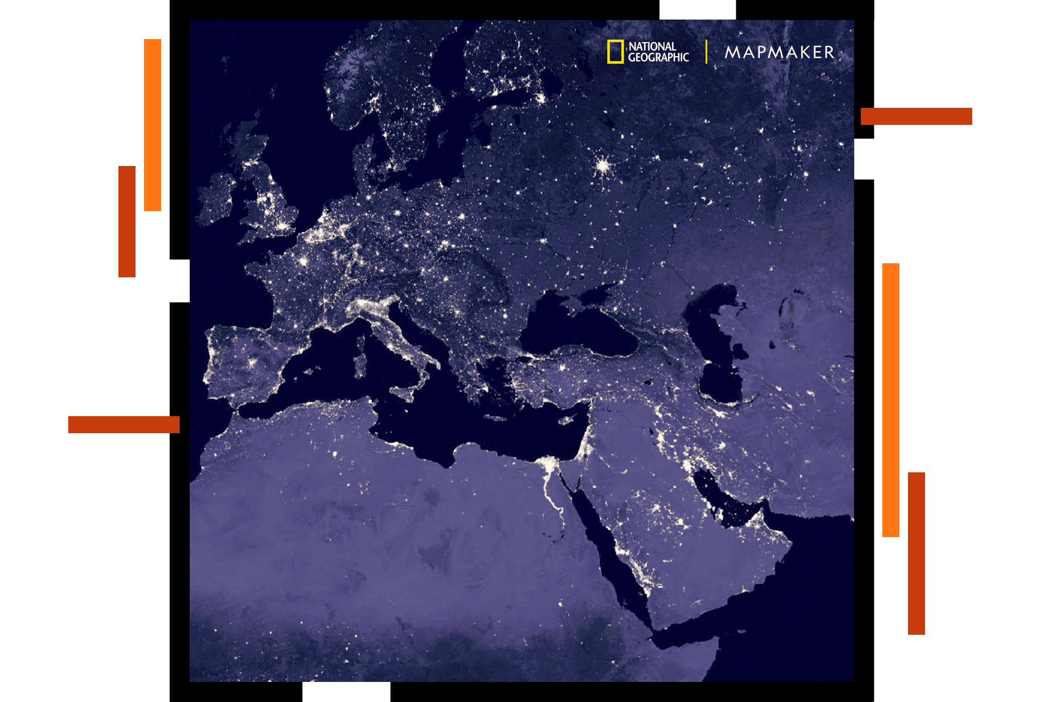
A map of Europe and northern Africa shaded in hues of purple overlaid with sparkling data points

Help students see the world differently with maps

When students see where things happen—and ask why—they understand the world differently. MapMaker interactive resources and activities make this possible with a curated library of interactive maps for students and guided lessons for social studies and science. It’s ready for any browser or device, with no student login or tracking required.

MapMaker fits the curriculum you teach

MapMaker covers the content areas where maps matter most: earth science, world cultures and geography, and history. It also provides a full 2D and 3D interactive atlas of the world.

Share maps directly through your learning management system, display them for the whole class, or have students explore independently on their own devices. MapMaker works the way you already teach.

A new way to teach and learn with maps

MapMaker delivers a creative new approach to teaching with maps that inspires students and develops their knowledge of the world.

Previous
Next

Frequently asked questions

MapMaker is a lightweight, online mapping application for K–12 schools (primary and secondary). MapMaker can be used to explore the world in both two-dimensional (2D flat map) and three-dimensional (3D globe) displays with an intuitive interface. It includes a built-in set of curated content (maps, layers, and data).

MapMaker was created in collaboration between National Geographic and Esri.

MapMaker is for instructional use of K–12 students who are novice users of digital, interactive maps. While designed for K–12, it is also useful for other learners.

Users of MapMaker are interested in exploring maps, searching a global place-name database, understanding data, seeing patterns, and discovering relationships.

MapMaker runs on any device with a recent version of a popular web browser (e.g., Chrome, Edge, Firefox, Safari) and a display of at least 1366 x 768 pixels.

Since MapMaker is a web app, it runs in your browser. On smaller screens (such as smartphones and some smaller tablets), not all elements of MapMaker are supported. An internet connection is required.

No; however, you can do more with an account.

Without an account, you can:

  • Use all included maps and layers of data.
  • Use all of the tools, including sketch to draw on the map.
  • Save maps as PDFs or images.

With an account and while signed in, you do everything you did without an account. You can also:

  • Save digital, interactive maps.
  • Share maps you create with others, including students.
  • Open and update maps you previously saved in MapMaker.
  • Add bookmarks to your maps.

MapMaker supports adding and customizing sketches on maps as well as saving and sharing maps you saved in the app. After saving a map in MapMaker, you can reopen it by clicking Open map > My maps. Additional capabilities are under consideration for future releases.

How you save and share depends on whether you have an account and are signed in.

  • Anyone (signed in or not) can save and share a map as a static map—a screenshot saved as either a PDF file or an image (JPG or PNG file).
  • If you have an account and are signed in to MapMaker, you can also save and share an interactive copy of your map.

See Save maps and Open and share maps for details.

Resources for teachers can be found on the MapMaker educator support hub.

Sign up for Esri’s National Geographic MapMaker newsletter

Stay up to date on the latest lessons, news, and best practices for teaching with National Geographic MapMaker.

Contact us

Outside the United States