Fall 2009
Fall 2009 |
|||||||
|
|
|||||||
Free Annual Maps and Globes Optimized for ArcGIS Server
Jump-start Your Web Maps |
|||||
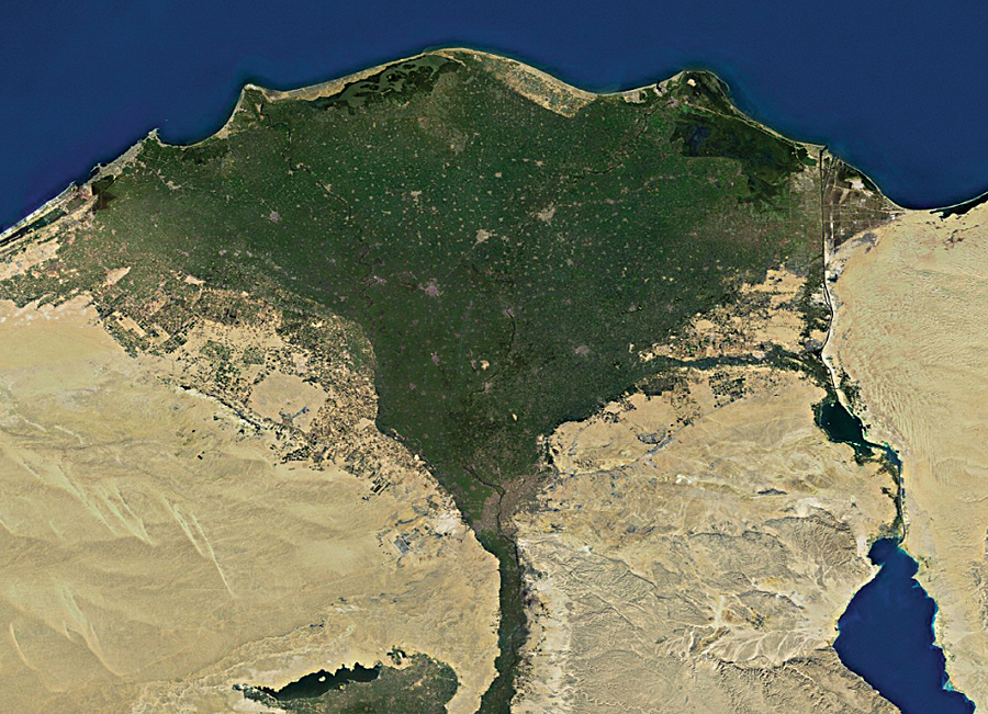
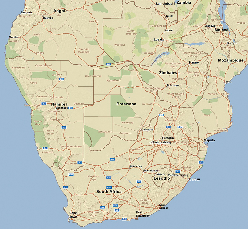
For years, Esri has been helping ArcGIS Desktop users get started with their GIS projects by providing them with Esri Data & Maps preconfigured map data updated annually and delivered on a set of DVDs. Composed of many types of map data at various scales, Esri Data & Maps is ideal for many types of GIS projects. To help ArcGIS Server users quickly jump-start their projects, Esri now offers free map data optimized specifically for ArcGIS Server. Esri Data & Maps for ArcGIS Server is now available to every ArcGIS Server user upon request and will be included in the box with the ArcGIS Server 9.4 release. Esri Data & Maps for ArcGIS Server provides preconfigured 2D map and 3D globe cache services and map data, such as satellite imagery, street maps, land cover, and shaded relief, down to about 1:1,000,000 scale. These basemaps and reference layers work with any ArcGIS Server client application, such as ArcGIS Desktop and ArcGIS Explorer, or can be used to build custom applications using ArcGIS Server APIs, such as Microsoft Silverlight, JavaScript, Flex, .NET, or Java.
Users can create 2D and 3D digital worlds by combining the map services with local data and services from ArcGIS Server and ArcIMS; Open Geospatial Consortium, Inc., Web Map Services; and KML services. A multiscale world street map down to highway-level detail, along with multiresolution imagery; the Natural Earth physical map; and a worldwide shaded relief map provide fast, high-quality basemaps. Transportation, boundaries and places, and elevation reference layers are also included to augment the basemaps with detailed reference information. In addition, the basemaps can be supplemented with users' own data for a specific local area of interest. Delivered on DVD and hosted by users on their own secure GIS servers, Esri Data & Maps for ArcGIS Server ensures that map services are quickly available to all users on a network. The optimized set of data can be used as a global basemap framework for deploying GIS applications to users both inside and outside an organization. Esri Data & Maps for ArcGIS Server works with ArcGIS Server 9.2 Service Pack 2 or higher for both the .NET and Java platforms. More InformationTo learn more and to request a free copy of Esri Data & Maps for ArcGIS Server, visit www.esri.com/dataandmapsserver. |