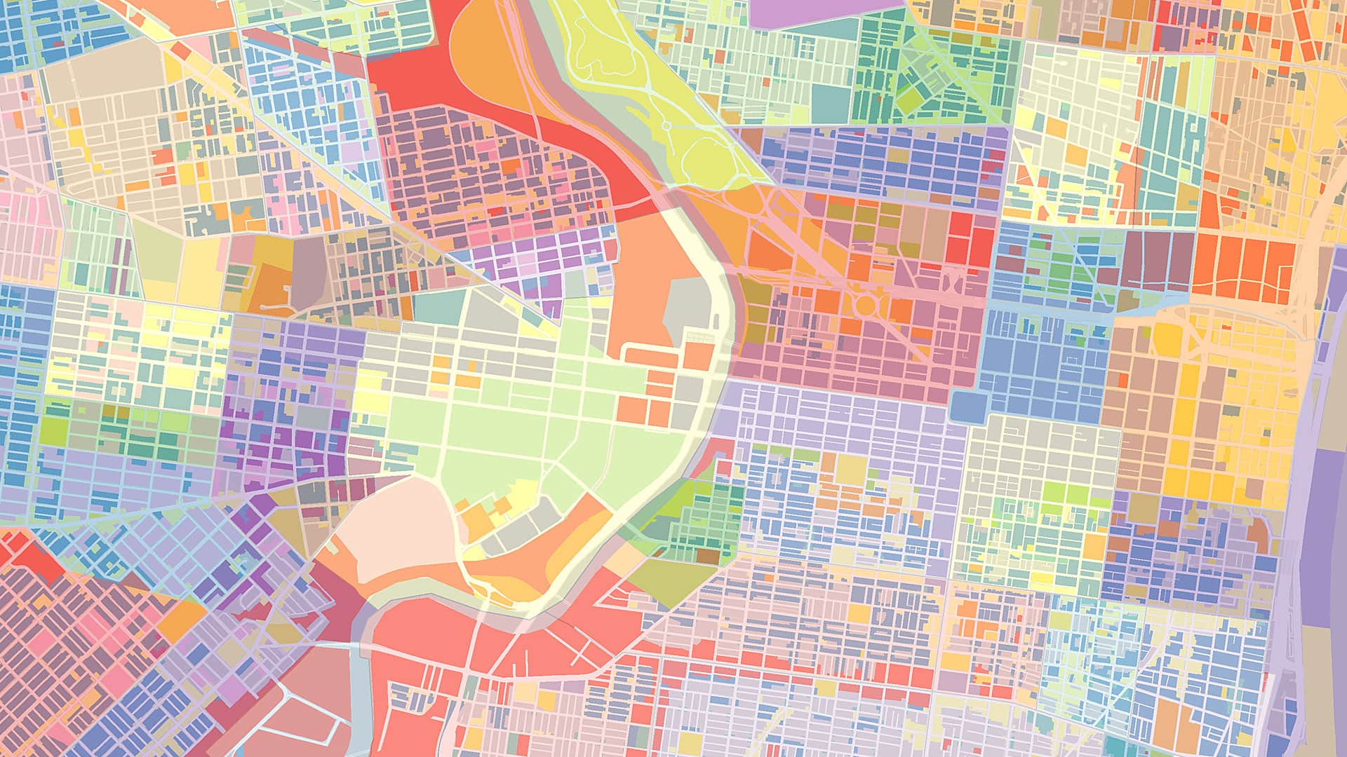
AI Needs Geography—and You
While AI can process information at unprecedented scale, geography gives that information meaning. GIS professionals know this intuitively.
Summer 2026, Vol.48, No.3
While AI can process information at unprecedented scale, geography gives that information meaning. GIS professionals know this intuitively.
In the US, the technology is there to transition to fully digital addressing networks that use live GIS data to route emergency calls.
Find out about a new ArcGIS StoryMaps format, tune in to the Esri & The Science of Where podcast, and get prepared for the Esri UC!
It was clear what was on everyone’s mind: enterprise GIS, low-code and no-code app building solutions, developer tools, and geospatial AI.
Esri has made strong progress in developing AI tools, models, and assistants. Now, agentic AI is extending GIS beyond traditional users.
Find out how to choose the best imagery for your project. Review the different types and learn about various capture methods.
When employees across an organization map, maintain, and access land records from a shared platform, they can prepare for the unexpected.
New data layers from Global Fishing Watch are now available in ArcGIS Online and ArcGIS Living Atlas of the World.
After moving to ArcGIS Pro, the small team that manages the state’s voting-related street records made the data easier to share and use.
As the country maps every building, parcel, and property boundary in 3D, it is transforming how property rights are managed.
Native pollinator habitats are under threat. Learn how John Ball Zoo is revitalizing them and engaging communities in conservation efforts.
The Iowa Department of Natural Resources has combined their mapping tools for Iowa anglers into a single interactive web mapping app.
Pat Dolan was instrumental in getting utilities to embrace enterprise GIS. After a devastating diagnosis, he pivoted to patient advocacy.
In this Q&A, Esri director of software products Clint Brown reflects on how GIS grew from a niche field into a vital industry.
Participants in the Permafrost Pathways project work alongside Indigenous partners to transform spatial data into a tool for empowerment.
When mapping with communities, cartographers and geographic information scientists can rethink their processes to better fit a new purpose.
What if the traditional, image-driven map isn’t accessible to you? This is where tactile mapping comes in.
How should GIS managers address ethical obligations to individuals and societies? With a GIS Code of Ethics.
In collaboration with Esri, the agency is meeting GIS practitioners where they work: in ArcGIS.
The Wisconsin Geological and Natural History Survey and XR Navigation are making complex digital maps accessible to everyone.
Explore AI tools and workflows, get to know ArcGIS Pro 3.6, and learn how GIS skills are taught in higher education.
Learn how to automate analytic workflows, take a MOOC on spatial data science, and get ahead with new technical certifications.