Arizona Public Service Expands Viewing and Analysis
Utility Develops Solution for Smart Grid, Renewable Energy, and Vegetation Management
Highlights
- A web-based application, developed with ArcGIS API for Silverlight, supports field crews, engineers, and decision makers.
- The application provides a near real-time look into the enterprise GIS distribution facilities geodatabase.
- With GIS, the utility meets crucial requirements, such as smart meter installation, vegetation management, and pole inventory.
Driven by the motto "The Power to Make It Happen," Arizona Public Service (APS) staff consistently look to improve outage response and vegetation management. At the same time, APS stays ahead of the curve on new utility challenges, such as smart grid and renewable energy.
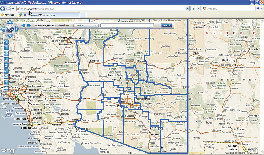
The Arizona Public Service basemap allows employees to navigate to their service area, separated by divisions such as northwest, southwest, northeast, southeast, and metro.
APS, headquartered in Phoenix, is Arizona's largest and longest-serving electricity utility, with more than 1.1 million customers in 11 of the state's 15 counties. Integral to the success of a utility is the wisdom to take full advantage of resources, and APS does just that with its GIS technology.
Recently, APS expanded the use of its GIS by developing a web-based application for company-wide viewing, planning, analysis, and data management.
The web-based application, developed with ArcGIS API for Silverlight, is used by field crews, engineers, and decision makers to meet crucial utility requirements, such as smart meter installation, vegetation management, and pole inventory.
The application was built to provide a near real-time look into the enterprise GIS distribution facilities geodatabase (GDB). This GDB is updated daily as new facilities are installed and old facilities are removed or maintained. Spatial analysis capabilities allow personnel to query specific devices or view a specific area in the network.
APS extended the technology used to construct this application. The utility built a foundation for additional applications and web services that allow planning for placement of smart grid devices and smart meters, tracking of mobile assets, and locations of photovoltaic and other alternative energy generation devices. The application also enables APS staff to view the proximity of wildfires to high-voltage facilities.
While the application mainly supports APS electric distribution facilities, the company is now developing another complete GIS for APS transmission facilities. This GIS will include facilities and vegetation data, as well as high-resolution imagery. As part of this effort, APS is building web and mobile applications to view, edit, and analyze various functions within transmission maintenance and vegetation management along transmission corridors.
APS began building its GIS in the early 1990s. The GIS provides data to its Distribution Operations Management System (DOMS). Currently, DOMS provides workers in the Operations Center with the ability to address and monitor problems and corrective actions being done in the field.
For more information, contact Brittany Wall, senior systems analyst, Arizona Public Service (e-mail: Brittany.wall@aps.com).