Swiss University Enhances Accessibility with Indoor GIS Technology
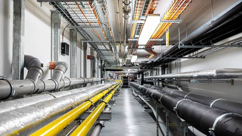
Students and staff use smartphones to access digital campus maps with real-time indoor positioning for navigation and barrier-free routing.
September 2026

Students and staff use smartphones to access digital campus maps with real-time indoor positioning for navigation and barrier-free routing.
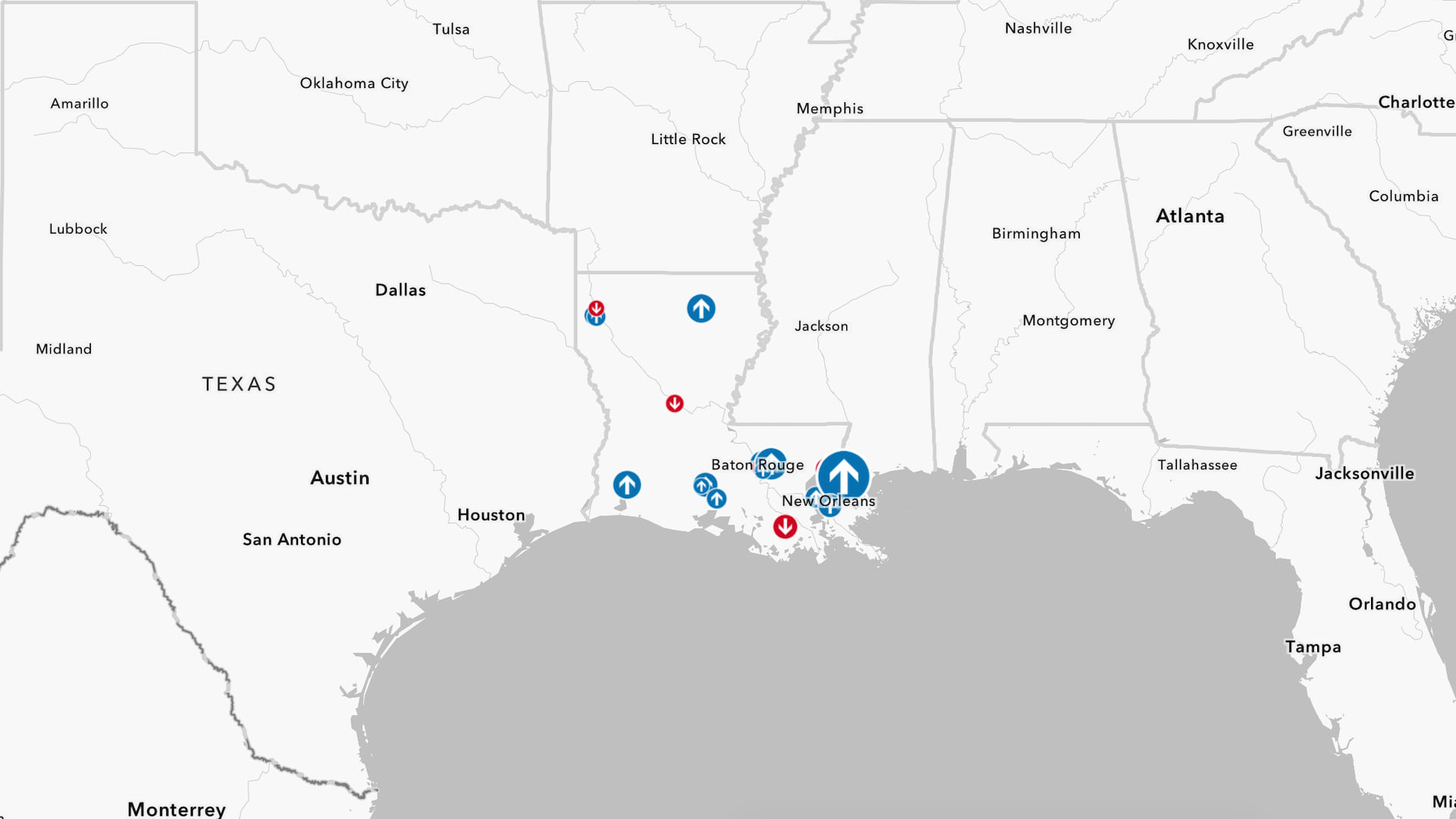
Help a retail worker make recommendations for underperforming stores by gathering and analyzing sales data, then visualizing the results.
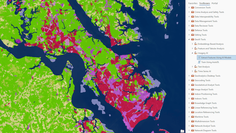
New AI-driven capabilities in ArcGIS let you extract information at scale, understand patterns, and automate processes to boost efficiency.
A digital transformation is changing how municipalities across Sweden manage data and handle issues such as aging infrastructure.
This October, gain practical insights and discover new approaches to common challenges at the largest GIS event dedicated to infrastructure.
Join storytellers from around the world. Showcase your work to demonstrate how GIS can drive meaningful action in your community and beyond.
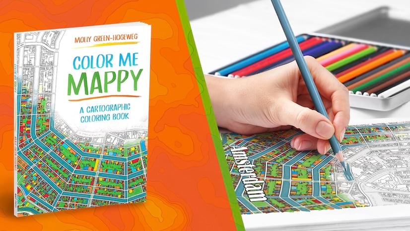
Fuel your creativity with this book. It transforms maps of iconic real-world destinations into immersive coloring experiences.
Organizations can browse success stories, a directory of trusted partners, and helpful resources to unlock their full potential with ArcGIS.
Streamline the connection between CAD and GIS workflows. Follow an example to bring your 2D drawings into 3D using ArcGIS for AutoCAD.
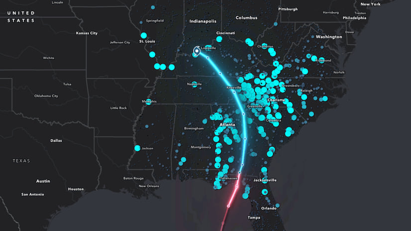
Learn how to create time-based visualizations that reveal patterns and show change over time.
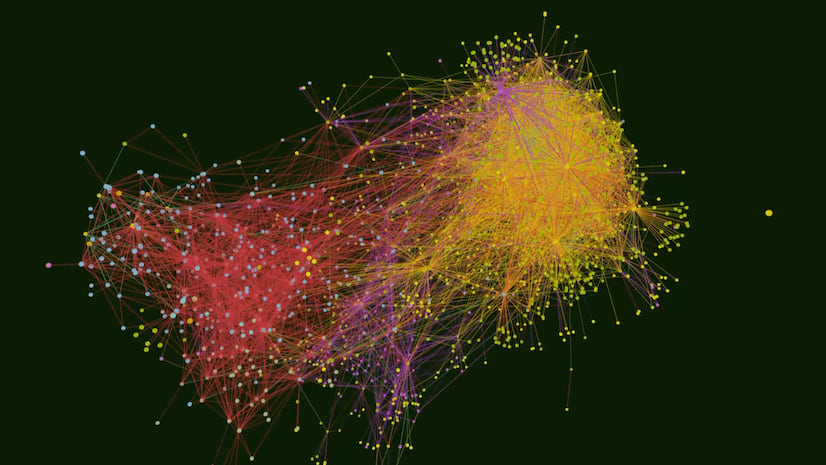
From planning bridge repairs to tracing parcel ownership, discover applications of ArcGIS Knowledge and the hidden insights it can unlock.
Real-time data collection and live dashboards show where shelter, medical teams, and supplies are needed first.
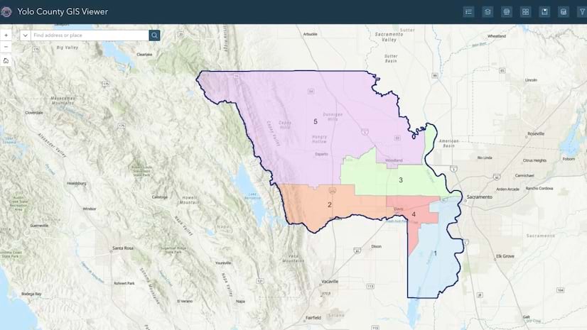
Parcel data is maintained in a single system in ArcGIS Enterprise, providing an authoritative source of truth and simplifying workflows.
Asset monitoring, advanced spatial modeling, and system maintenance help staff assess floods’ impacts and guide recovery efforts.
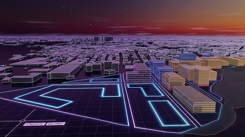
Learn how to use authoritative GIS data, 3D graphics, and ArcGIS Maps SDKs to create highly realistic simulations and digital twins.
Discover new capabilities introduced in the latest releases and practice with enhanced tools to map and manage GIS data.
Practice key cartographic techniques to depict 2D and 3D data on a map and communicate insights with charts and dashboards.