EPA Builds Map Service on ArcGIS Online for Organizations
Highlights
- The ArcGIS Online infrastructure is customized for EPA internal GIS cloud-based service.
- The agency web platform contains security tools.
- The self-service environment helps users search for web maps and consume data from inside and outside the agency.
The United States Environmental Protection Agency (EPA) has worked with Esri through many cycles of technical development over the past 25 years. With each cycle, the prevalence of GIS tools and applications has grown within the agency. Today, the EPA is a federal showcase of GIS web applications, such as its Environmental Dataset Gateway, Facility Registry Service, and EnviroMapper.
Esri's most recent technological cycle includes ArcGIS Online, which is a cloud-based, collaborative content management system for maps, applications, data, and other geospatial information. EPA saw the web service infrastructure as a viable means of publishing its own data and tools and making them even more accessible to managers and staff.
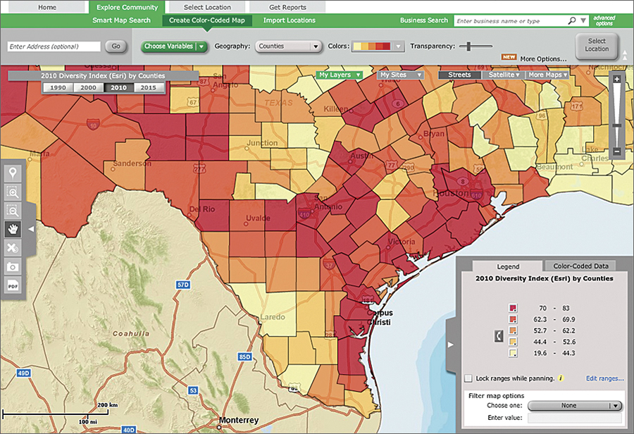
EPA GeoPlatform, built on ArcGIS Online infrastructure, serves data, maps, and reports to EPA management and staff.
In May 2012, EPA launched EPA GeoPlatform based on Esri's ArcGIS Online for Organizations. EPA GeoPlatform is a framework for coordinating geospatial activities, applications, and data across the agency. EPA administrators announced that EPA GeoPlatform is available to every EPA employee as a foundation for all the agency's geospatial applications. Its policy now is that all geographic data and tools be built on EPA GeoPlatform.
Administrators also cited benefits of EPA GeoPlatform, including increased access to place-based decision-making tools, a standardized look and feel for map products, and applications supported by a core set of national data services. It eliminates redundancy in deployment and use of GIS, which leads to cost savings.
"Applications, data, and models served on EPA GeoPlatform help people do their jobs better and enhance environmental decision making," says Harvey Simon, EPA's acting geographic information officer.
The agency-wide web mapping service allows EPA to use the Esri-hosted infrastructure in a managed, secure, and scalable cloud-based environment. EPA retains control of the service and security to administer role-based members and public and private groups. It can track usage and monitor storage and reports.
EPA GeoPlatform includes three components: a public GIS cloud subscription service for accessing data and building web applications, a private cloud configuration for sharing data internally using role-based security, and data and application services built and distributed on its GIS server infrastructure in both public and private environments. It employs cloud service tools, viewers, and applications from ArcGIS Online, Community Analyst, and ArcGIS Explorer Online to make geospatial analysis more mainstream within the agency.
EPA GeoPlatform supports EPA enforcement targeting, community-based grants analysis, and environmental justice screening. It also provides a wide range of data, applications, and maps to support its staff's community-based work.
Users work in a self-service environment to search for web maps and consume data from EPA's dataset gateway, as well as from data .gov and ArcGIS Online. EPA GeoPlatform has a metered service so that the agency can watch traffic and load on its servers and respond by dynamically increasing or decreasing service support. The EPA map store helps staff members discover or publish web maps so that others can use them. Using a public-facing viewer, citizens can add their data to a map and use that map to support discussion.
Looking Forward
EPA is in the process of customizing Esri's ArcGIS Explorer as a viewer that integrates EPA GeoPlatform data and services and environmental queries and models. Staff will use it to add data, such as demographic variables and particulate matter, ozone, and chemical data, to maps. Eventually, the viewer will be installed on all agency desktops. EPA also plans to customize the full ArcGIS desktop client to provide agency GIS capabilities.
Working with Esri, EPA is customizing a version of Community Analyst called Environmental Analyst. It adds hundreds of EPA data layers to Esri's thousands of demographic, health, economic, education, and business data layers. Staff will be able to ask questions, such as, Where should I target environmental enforcement actions? Does the area around a chemical facility have potential environmental justice concerns? What is the violation history of this dry cleaner?
EPA GeoPlatform is at the center of EPA's hosted map services.
For more information, contact Latisha Petteway, press officer, United States Environmental Protection Agency (e-mail: petteway.latisha@epamail.epa.gov).