Spring 2004
Spring 2004 |
|||||||
|
|
|||||||
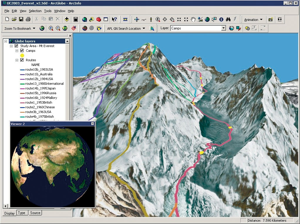
ArcGIS 3D Analyst |
|||
The ArcGIS 3D Analyst extension at ArcGIS 9 improves in two major areas, 3D visualization and 3D symbology. It still retains all the same functionality that many GIS users have enjoyed throughout the years, but adds integrated tools to enhance the 3D visualization experience. New at the 9 release within the ArcGIS 3D Analyst extension is ArcGlobe, a whole-earth 3D visualization application. ArcGlobe enables users to manage and visualize—at a global or local scale—many gigabytes of data that can be seamlessly merged on-the-fly into a single fast visualization experience. ArcGlobe also integrates with the new geoprocessing framework, allowing tools, models, and scripts to be executed within this highly dynamic environment. ArcGIS 3D Analyst also adds support for using 3D symbols in a number of ways. The most common use will be the representation of GIS features using 3D symbols. This can be done by using 3D objects such as houses or cars as the symbology for point features, grass or water for polygon features, and tubes or textured lines for line features. ArcScene and ArcGlobe both support these new 3D symbols. For more information on ArcGIS 3D Analyst and ArcGlobe, visit www.esri.com/3danalyst. |