Spring 2004
Spring 2004 |
|||||||
|
|
|||||||
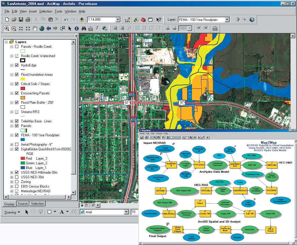
ArcGIS 9 Desktop |
|||
Building on the strength of previous releases, ArcGIS 9 Desktop adds important capabilities not previously offered. ArcGIS 9 Desktop adds a comprehensive geoprocessing framework and toolkit for creating and executing complex GIS procedures. Other highlights include improved annotation, labeling, and geodatabase interoperability. In addition, the ArcGIS extensions expand their offerings with the new ArcGlobe 3D application; ArcReader customization via ArcGIS Publisher; and two new extensions, Maplex for ArcGIS and ArcGIS Data Interoperability. New Geoprocessing FrameworkArcGIS 9 Desktop provides a complete geoprocessing framework and set of tools for ArcView, ArcEditor, and ArcInfo. Geoprocessing tools range from common GIS operations, such as overlay, buffer, and data management, to more advanced operations for raster processing, topology, and schema definitions. Traditionally, ArcInfo Workstation and ARC Macro Language (AML) have been used for these tasks. The geoprocessing framework is common for ArcView, ArcEditor, and ArcInfo, although the number of tools available within each product varies. ArcView supports a core set of simple data loading and translation tools as well as approximately 40 fundamental analysis tools. ArcEditor augments this set with tools for geodatabase creation and loading. ArcInfo supplies approximately 200 tools including all geoprocessing functionality that has been available in ArcInfo Workstation. ArcInfo supports advanced analysis and complex work flows. Additional geoprocessing tools are supplied by ArcGIS extensions. For example, ArcGIS Spatial Analyst and ArcGIS 3D Analyst add more than 200 tools such as those for raster modeling and terrain analysis. The geoprocessing tools in ArcGIS 9 Desktop can be used in a number of ways and work with all supported data formats including geodatabase feature classes. The same operations, commands, or tools can run within dialogs, interactively in visual models, or quickly via command line input or can be integrated into multipart scripts or applications for advanced analysis. Improved Annotation and LabelingAnother major focus of ArcGIS 9 is on significantly improving the user experience when creating, editing, and managing labels and geodatabase annotation. A new set of tools enables users to centrally manage all labels, reducing the time and effort in creating cartographic labels. In addition, there are new tools for managing geodatabase annotation, allowing users to simply and easily update and create annotation. The geodatabase has also been upgraded to support more advanced text formatting and annotation. Enhanced Raster SupportArcGIS 9 includes significant enhancements to raster management, query, and visualization. A new user interface is introduced to explore and create raster data. Users have the option to mosaic large rasters into a single raster or manage rasters as a series of tiles. Tiled rasters can store attribute information, making it possible to perform spatial-based queries and selections for corridor analysis or data updates. Raster data can also be associated and stored with vector features, allowing for hot linked rasters such as house photographs on a locator map. In addition, overall raster display is faster and better. Learn about key enhancements to the ArcGIS extensions and geodatabase interoperability in the accompanying articles. Also visit www.esri.com/arcgis. |