Spring 2004
Spring 2004 |
|||||||
|
|
|||||||
ArcWeb Services—Delivering the Data That's Needed, When It's Needed |
|||
Getting access to current, reliable, high-quality data can be a challenge. In addition, the costs of purchasing, storing, and maintaining that data can be prohibitive. When working on a GIS project or developing a Web application that calls for a geographic component, an alternative and cost-effective way to access the content users need is to use ArcWeb Services. ArcWeb Services provide both GIS content and GIS capabilities—on demand when needed—and eliminate the overhead of purchasing and maintaining large data sets. With ArcWeb Services, the data storage, maintenance, and updates are handled by Esri. Users get access to dynamic, up-to-date content and capabilities via the Web that can be accessed directly using ArcGIS or used to build unique Web-based applications. Advantages of ArcWeb ServicesArcWeb Services offer
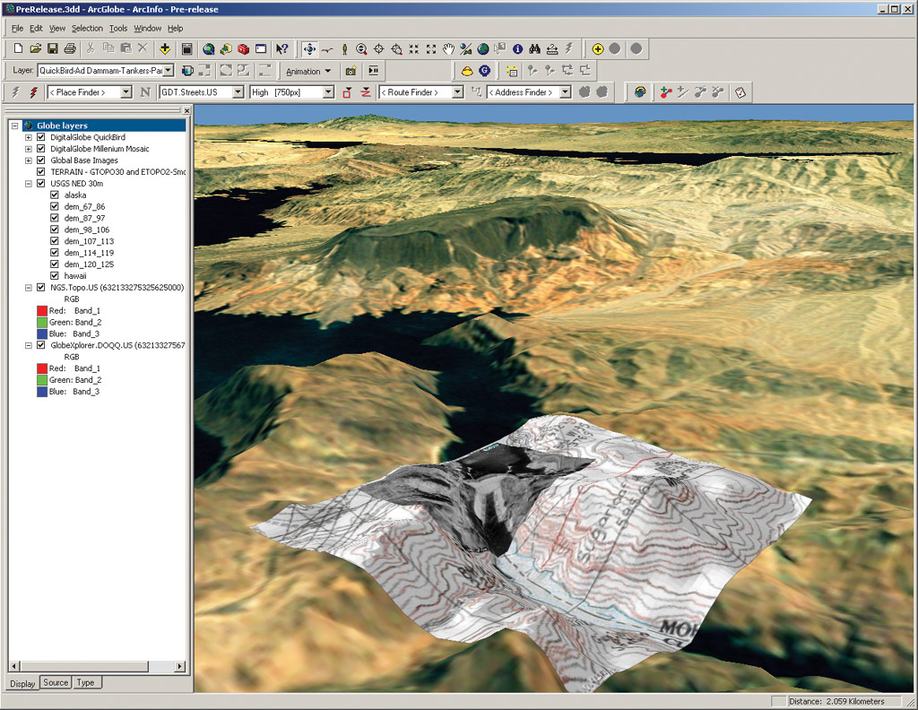
Enriching the ArcGIS DesktopArcWeb Services can be used directly in a user's ArcGIS Desktop using the ArcWeb toolbar, which provides access to free content and capabilities as well as any ArcWeb Services to which users have subscribed. If they need access to a regional, statewide, or national street database and need to perform routing and geocoding, ArcWeb Services provide the solution and let them choose from Geographic Data Technology, Inc., or Tele Atlas/TomTom street data. If they need to access 3D-shaded topographic maps or digital orthophoto quarter quadrangle (DOQQ) imagery, ArcWeb Services provide them, ready to use in their ArcGIS Desktop. A wide variety of other content is also available. From high-resolution satellite imagery to current weather conditions, demographic information, traffic conditions, and more, ArcWeb Services complement the data users already have with additional content and capabilities. Delivering Data to the User's DoorstepFor situations that call for storing data locally, Esri offers data on a CD that users can use to enhance their GIS projects. For example, they can order collections of imagery or they can specify a coverage area of interest and obtain data for that area on a customized CD ("zip and ship"). Later this year, users will also be able to have content delivered on DVD. Enhancing Users' ServicesArcWeb Services can also be used to extend users' Web mapping and GIS capabilities by integrating them into their ArcIMS implementation. In the same way that they can extend and enrich their desktop experience, ArcWeb Services can also add additional information and functionality to their existing GIS Web sites. Delivering Unique SolutionsWhether delivering custom Web-based solutions or helping Web developers who have no GIS experience to include GIS functionality in their applications, ArcWeb Services provide the needed content and capabilities. The integration of ArcWeb Services into existing applications is made easier by the fact that they can be accessed through industry-standard application program interfaces and used in the Web development environment of their choice. Whether users are building a public information access site or store locator or routing students to their training facilities, ArcWeb Services allow them easy access to the data and functions needed to implement their solution. Cost-Effective Alternatives to User NeedsRegardless of whether users are enriching their ArcGIS Desktop, adding to an ArcIMS service, or searching for a way to add GIS capabilities to a Web application, ArcWeb Services are a cost-effective way of obtaining data. The data is hosted by Esri and accessed over the Web, so users don't have to devote resources to maintenance and storage. The data Esri hosts is always the most current offered by the data provider. Users can think of ArcWeb Services as getting data on demand; it's always there when they need it, and the rest of the time they don't need to worry about it. ArcWeb Services give users access to terabytes of rich data including street maps for North America and Europe, live weather maps, DOQQs, topographic maps, live traffic information, recent earthquakes, shaded relief imagery, flood data, and census data. Esri is continuously adding to a lengthy list of data providers that includes Esri Business Information Solutions, Geographic Data Technology, GlobeXplorer, Meteorlogix, National Geographic, Pixxures, Tele Atlas/TomTom, TrafficCast, and many more. Users do not need to decide ahead of time which of these data sources they will use because, when they buy ArcWeb Services, they have access to all of them. To fit the way users use spatial data, Esri offers a choice of how they can purchase ArcWeb Services. Web developers and ArcGIS users can purchase ArcWeb Services in transaction blocks, based on the anticipated volume of use of the services. Similar to purchasing additional minutes on a phone card, when users need more transactions they simply buy another transaction block. Alternately, ArcGIS Desktop users can subscribe to unlimited access to ArcWeb Services on a per user basis for a yearly fee. In either case, users have access to the same vast collection of data. ArcWeb Services TechnologyArcWeb Services combine the power and spatial processing capabilities of ArcIMS, ArcSDE, and leading third party technologies with a spatial data repository maintained by Esri. ArcWeb Services for Developers are deployed through standard Web protocols and languages including hypertext transfer protocol and XML. They use XML-based Simple Object Access Protocol (SOAP) to communicate and, therefore, are compatible with the majority of Web services frameworks available today such as Microsoft's .NET or The Mind Electric's Glue. ArcWeb Services for ArcGIS Desktop incorporate the ArcXML protocol for easy integration with ArcGIS and can be accessed as either an image or feature service. Users can use these ArcWeb Services as background layers for other local data, and they can interact with the data in much the same way they would with a local source on the desktop. Users can evaluate ArcWeb Services either on their ArcGIS Desktop or in a Web application. To sign up for an evaluation, ArcGIS Desktop users can visit www.esri.com/arcwebusa; developers can visit www.esri.com/arcwebdev. |