Spring 2005
Spring 2005 |
|||||||
|
|
|||||||
Includes New Features and Enhancements in Response to User Feedback
ArcGIS 9 Military Analyst Now Available |
|||
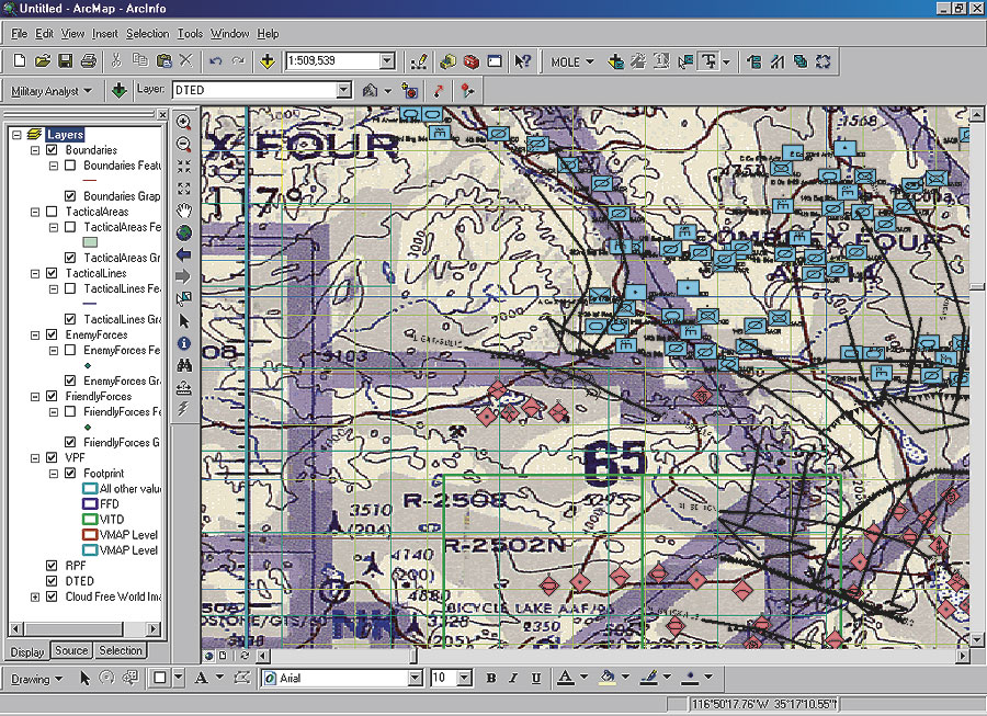
ArcGIS Military Analyst maximizes use of the standard suite of the National Geospatial-Intelligence Agency (NGA) data products by allowing direct use and rendering of NGA's vector and raster products, line of sight assessments, Military Grid Reference System (MGRS) conversion, and Digital Terrain Elevation Data (DTED) analysis. This extension also includes the Military Overlay Editor (MOLE), which supports MIL-STD 2525B and custom war fighting symbologies. MOLE includes a complete ArcObjects-based API for using MOLE with ArcGIS custom applications built with ArcGIS Engine. Enhanced tools in ArcGIS 9 Military Analyst, such as the Raster Map tool, the Vector Map tool, the DTED tool, and the Terrain Tools are now based on ArcGIS catalogs. These catalogs can be personal geodatabases or ArcSDE enterprise databases. These new tools now allow users to fully implement entire RPF, VPF, and DTED collections seamlessly within their ArcGIS work flow. New tools in ArcGIS Military Analyst include
ArcGIS Military Analyst requires ArcView, ArcEditor, or ArcInfo and is available at no extra cost to ArcGIS Desktop product users with current software maintenance agreements. For more information, visit www.esri.com/militaryanalyst, call Esri at 1-800-447-9778, or contact your Esri regional office. Outside the United States, contact your local Esri distributor. |