Spring 2007
Spring 2007 |
|||||||
|
|
|||||||
Added Value for Developers
ArcGIS Image Server Now Included in Esri Developer Network (EDN) |
|||||||||
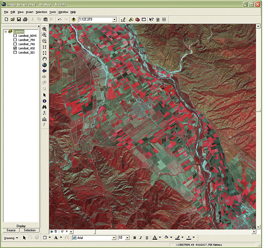
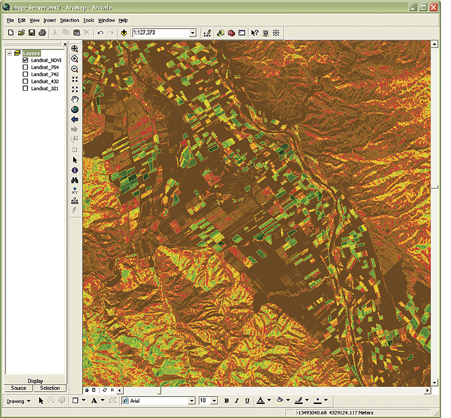
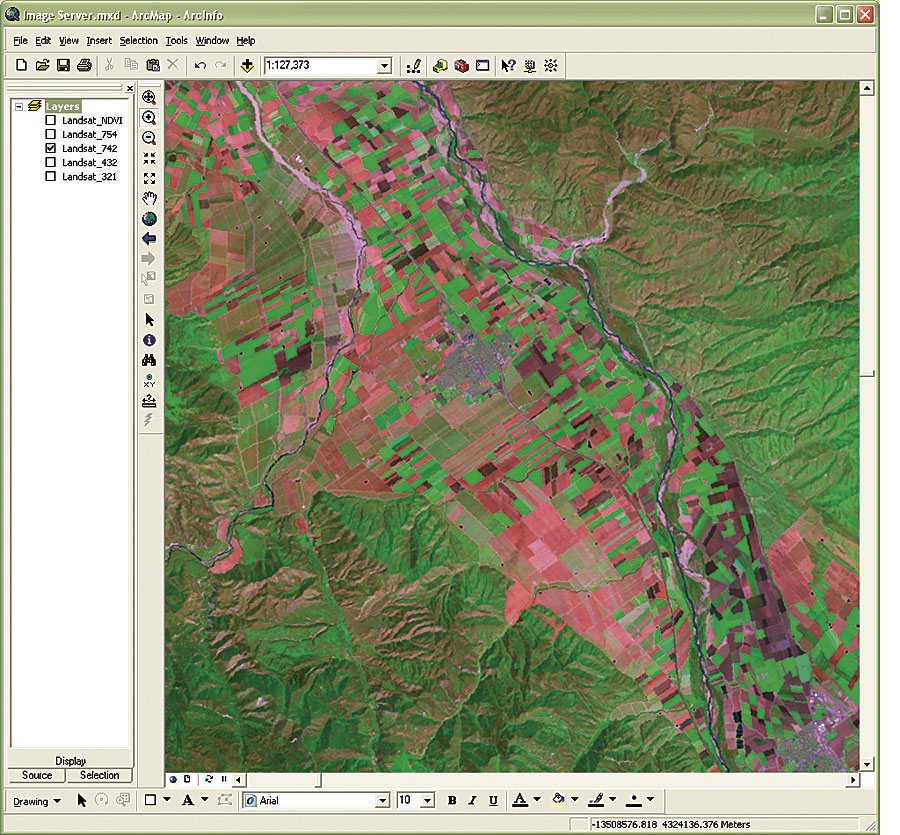
ArcGIS Image Server, a server-based solution that provides fast access and visualization of large quantities of file-based imagery, processed on the fly and on demand, has been added to the suite of software provided to Esri Developer Network (EDN) subscribers. Both ArcGIS Image Server extensions, Orthorectification and Seamline, have also been added to the program. EDN subscribers will now be able to get a hands-on look at how ArcGIS Image Server can quickly and seamlessly process and serve large volumes of geospatial imagery—making it accessible and usable as soon as possible enterprise-wide. Output imagery can be displayed nearly instantly for a number of users working simultaneously, without the need to preprocess the data and load it into a database management system, eliminating data redundancy and extra storage requirements. EDN is an annual subscription-based program that provides software developers with the resources needed to build custom GIS solutions that embed Esri desktop and server technologies. The Esri software included with EDN for developing and testing applications includes ArcGIS Image Server, ArcGIS Server, ArcGIS Engine Developer Kit, ArcIMS, ArcWeb Services, and ArcView (optional). The objectives of the EDN program include providing developers with tools that increase productivity and foster a collaborative environment, reducing the cost and complexity of doing GIS development, and providing maximum opportunities for developers on the ArcGIS platform. The software included in the EDN subscription is for development and testing purposes only. EDN licenses do not include any rights for deployment or production use. There will be no change to the pricing or licensing of EDN with the addition of ArcGIS Image Server, and all existing EDN subscribers will receive a DVD of ArcGIS Image Server. More InformationFor more information on the Esri Developer Network, visit www.esri.com/edn. For more information on ArcGIS Image Server, visit www.esri.com/imageserver. |