Spring 2007
Spring 2007 |
|||||||
|
|
|||||||
PLTS for ArcGIS 9.2 Increases Data Quality and Productivity |
|||||||
Building and maintaining geographic data for large projects often require managing many related features while adhering to complex data standards. It can be difficult to adhere to these standards when source data is incomplete or inaccurate or when production technicians inadvertently introduce errors over the course of creating and editing features. Production Line Tool Set (PLTS) for ArcGIS provides a framework to address these challenges. With PLTS for ArcGIS, users can ensure that the highest-quality data is created as efficiently and as early in the editing process as possible. PLTS for ArcGIS gives users all the necessary tools to create high-quality data and cartographic products. Improve Data QualityUsers can use the database models and validation rules of PLTS for ArcGIS to constantly check the quality of their data during data load, creation, and editing processes. These frequent quality control checks allow them to consistently maintain highly accurate data. In addition, users can define specific symbology and representations based on attribute combinations and store them as specifications. These specifications can be used during the editing process to get a visual sense of data quality and to ensure that consistent symbology is being applied by all users accessing the data. Save Map Editing TimeThe editing environment in PLTS for ArcGIS was designed to maximize efficiency. A large editing project can get tedious, so minimizing the time spent on each feature and reducing the number of mouse clicks needed to configure tools and edit features become important time-savers. PLTS for ArcGIS offers single-click editing for commonly performed editing operations.
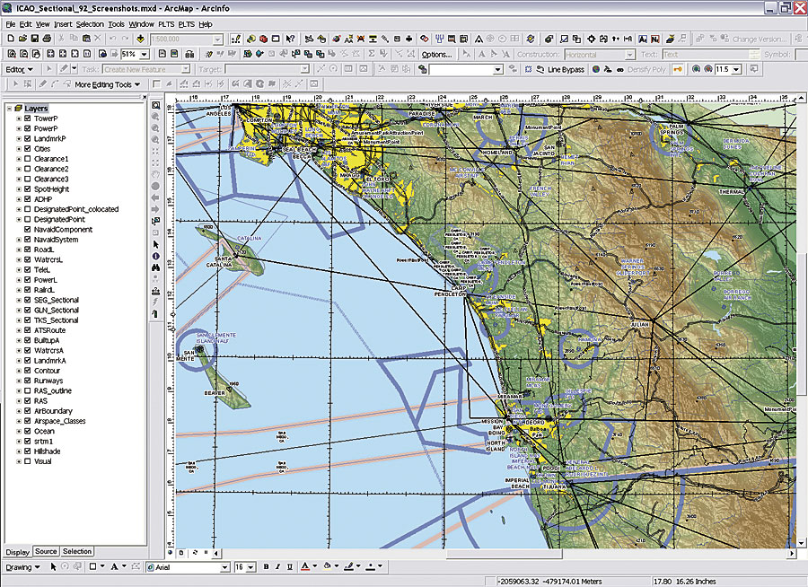
The PLTS for ArcGIS editing environment adds a host of new production tools that solve many common editing problems. It also provides additional editing logic to the tools themselves to help save time when editing. These tools work with the data in the geodatabases during editing and actively validate each feature after an edit is made to ensure it adheres to the specifications. The attribution environment in PLTS for ArcGIS saves additional time when creating or editing features by allowing attributes to be transferred from one feature to another. It also enables users to configure, store, and define favorite attribute combinations that can be distributed to the editors. This capability promotes consistent feature collection and attribution. Efficiently Track and Fix ErrorsEven with active validation and stored rules, some errors may remain in the database. For example, there may be features that were interpreted inaccurately during capture or some that were not captured at all. There may also be geometry errors, such as sliver polygons, duplicate points, or topology errors. The GIS Data ReViewer component of PLTS for ArcGIS provides the framework for finding visual errors. It also provides tools that allow users to uncover additional geometry errors through any of 40 additional data quality checks built into the software. Users can configure and store these checks to recall them as necessary and run them in batch. They can then easily distribute the batch checks so that all users accessing the database are validating the data with the same set of rules. Once an error is uncovered, it can be corrected immediately or stored in a table that captures the characteristics of the error and tracks the correction status until it is corrected and verified. The table can also be particularly useful when contracting or outsourcing data production and maintenance because it provides a consistent way to document and share the information about errors throughout the quality control process. Easily Manage Map Series, Enhance Productivity
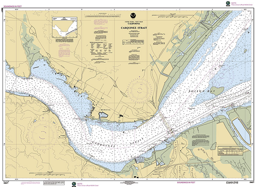
High-quality data is often used to publish and update maps. Each map in a series has unique information that pertains to a particular map sheet. Compiling and managing this information for each map sheet can be a time-consuming process, especially if there are many sheets that need to be updated. The Map Production System—Atlas (MPS-Atlas) component of PLTS for ArcGIS makes this process faster and easier by allowing users to manage an entire series at once while keeping a live connection to the database. During this process, a common map sheet template can be configured and applied to each sheet in the series. Dynamic map elements in MPS-Atlas allow users to set up specific queries against their data to pull text and attribute information and allow it to automatically update for each map. A map sheet with common, shared properties can be set up quickly, which gives users more time to make the custom edits needed for specific maps. Users can then easily manage these maps over the life of the series or publish and make them available to others. For many organizations, enhancing productivity involves establishing a consistent and well-documented workflow across the entire production team. With the Job Tracking for ArcGIS (JTX) component of PLTS for ArcGIS, users can model an end-to-end workflow for each step of the production process and route jobs and tasks to individual technicians. In addition to leveraging the ArcGIS and the PLTS for ArcGIS editing environment for specific, task-oriented work, the software includes management tools to help monitor overall production progress and troubleshoot any issues that may impede it. Take Advantage of Industry-Specific SolutionsIndustry-specific business rules are used to define data models, tools, and processes that make up each of the four commercial off-the-shelf PLTS for ArcGIS solutions: Aeronautical, Defense, Mapping Agency, and Nautical. Users can turn standard, static products into multiuse, enterprise-wide databases to serve high-quality digital and hard-copy cartography. PLTS for ArcGIS 9.2 operates on Windows 2000 and Windows XP and requires ArcInfo, ArcEditor, or ArcView. More InformationFor more information, visit www.esri.com/plts. |