Spring 2009
Spring 2009 |
|||||||
|
|
|||||||
Build and Deploy Fast, High-Quality Map Services
ArcGIS 9.3.1 Delivers Optimized Map Services |
|||||||
Highlights
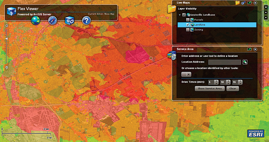
Users of Web GIS require fast access to quality information delivered from many providers, which include businesses and government agencies that author, serve, and use their own online maps. These resource authors of online geographic information need tools to efficiently increase performance and quality of dynamic map services to meet the growing demand for online mapping applications. Author-Serve-UseArcGIS 9.3.1 presents a new option in the author-serve-use workflow; map documents can now be analyzed, then optimized to create faster, higher-quality, dynamic map services. As a result, map service and Web application end users will experience dramatically improved online performance, including much faster drawing speeds and better-looking maps. Introducing the Map Service Publishing ToolbarAt 9.3.1, maps can be fine-tuned for faster performance using the new Map Service Publishing toolbar in ArcGIS Desktop. The toolbar provides a straightforward set of tools for analyzing and tuning the map, previewing the results, then publishing the optimized map to ArcGIS Server. First, a map document is analyzed, an automated process that finds issues affecting the performance of the map. The analysis results are presented in an itemized list of potential performance issues. The list is grouped into three types of issues: errors, warnings, and messages.
Errors are issues that must be fixed before previewing or publishing an optimized map service. Errors flag layers in the map that cannot access the source data or layers that point to source data that is not optimal for fast mapping (e.g., TINs, CAD files, topology, and selection layers). Some sophisticated renderers, such as cartographic representations and documents using the Maplex labeling engine, will be flagged as errors as well. Warnings indicate issues that typically slow map service performance. For example, a layer in the map document that is being projected on the fly or a table join that is set on nonindexed fields tends to cause undue processing on the server and can decrease map service performance. Messages provide additional information about the contents of the map document that are most likely to affect performance, such as publishing a map without setting scale dependencies. Messages also notify the author of possible changes in symbology between the original map document and the optimized map service. Many of the issues found can be quickly solved using preset solutions built into the analysis tool or by removing the problem layer from the map document. Once all the errors are eliminated, the optimized map can be visually inspected for drawing performance and graphic quality. The preview window includes typical map navigation capabilities, such as zooming and panning, as well as a measurement of drawing speed to help the author determine if the map is suitable for publishing. After the map has been optimized to the author's satisfaction, it can be published to ArcGIS Server with a single click in the ArcGIS Desktop ArcMap application. As the author does this, the map document is saved as a map service definition and pushed to the server. Map services that are configured with map definition files are referred to as optimized map services. Optimized Map Services Deliver Performance and Quality
Users will notice improved map quality in optimized map services: sharper edges to features, clearer labels, and better color transparency. Optimized map services look to applications just like standard map services. In fact, Web applications built on ArcGIS 9.2 and 9.3 can access this new map service. KML and Web Map Service (WMS) capabilities are also available in this new service. Having faster rendering speeds means that optimized map services also improve map-caching performance, reducing the time it takes to create map caches for basemaps. Map quality is noticeably improved, and storage is more efficient. For developers, optimized map services fully support functionality exposed via SOAP and REST. ConclusionOptimized map services are the next evolution of Web GIS publishing, simplifying the process of efficiently authoring geographic content for the Web. With ArcGIS 9.3.1, users can combine the optimized map service workflow for creating dynamic map services with the traditional publishing of other service types and map caching to create very fast, high-quality online mapping applications. More InformationFor more information about what is coming in ArcGIS 9.3.1, visit www.esri.com/whatscoming. |