Peoria Public Works Cuts Costs with Mobile GIS
Highlights
- GIS is used to georeference the city's assets, such as street signs, manholes, and light poles.
- Digital work orders accompanying interactive reference maps are displayed on the field crews' devices running ArcGIS Mobile.
- Peoria's public works department is saving money with GIS.
Originally, the town of Peoria, Arizona, was founded by a handful of farmers who journeyed from Peoria, Illinois, to take advantage of the irrigation potential of the newly completed Arizona Canal. By 1970, the population had grown to 12,000. With an expanding regional economy fueling rapid growth, today the population exceeds 150,000.
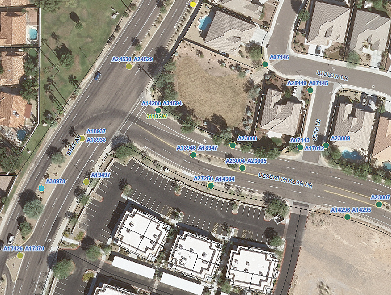
Traffic signal intersection inventory review in Peoria.
With this growth came the need to expand the city's infrastructure and implement systems to maintain it. Peoria began its use of ArcGIS in 2001 with the initial goal to automate its mapping procedures. Use of the technology gradually expanded throughout various city departments until 2003, when it was decided to link the GIS with the existing computerized maintenance management system (CMMS) from Hansen Information Technologies of Denver, Colorado.
The city's desktop environment uses Hansen's GeoAdministrator and GeoAssistant to link its GIS to the CMMS database. GeoAssistant lets Peoria users query the GIS and system databases interactively. GeoAdministrator allows the GIS to push new assets into the system. The city can also sync appropriate attributes between the GIS and the system, which lets it manage both databases with a single procedure.
The city's intermediate GIS application is GeoResults from Esri Partner Marshall and Associates, Inc., of Boise, Idaho, which facilitates real-time database connectivity from the field to the GIS and CMMS databases. The application uses ArcGIS to pass information to either the GIS or CMMS, depending on the action type. Asset and attribution updates are performed in the GIS database, while updates to maintenance schedules and service requests are managed by the CMMS. With this implementation, the use of GIS in the city began to expand exponentially, particularly in the public works department.
One of the primary functions of GIS in the public works department is to georeference the city's assets, such as street signs, manholes, light poles, and valves, for use with the CMMS. This allows the implementation of the CMMS-generated maintenance schedules through the work order process that is managed by ArcGIS. The process includes the generation of digital work orders with an accompanying interactive reference map displayed on the field crews' devices running ArcGIS Mobile. The crews use high-resolution orthophotography and GIS data layers including parcel, addressing, and streets. This information allows them to easily locate the assets that are scheduled for repair or replacement and provides them with related information about the asset, such as age, maintenance history, and manufacturer.
According to Timothy Smothers, Peoria's IT GIS supervisor, "Using GIS, our signage inventory group can not only access data from the field to complete their work but also manage their own geospatial information and provide real-time updates to the GIS and CMMS. Because of this, our sign inventory data is never more than one day out of sync with the actual conditions in the field."
The implementation of these procedures has allowed Peoria's public works department to realize a quantifiable return on investment by the sign inventory group. These cost-saving procedures include single data entry for new assets and the simultaneous update of the GIS and CMMS. This has resulted in an average savings of 20 minutes per new sign in data input. In addition, the automation of the work order process gained by linking the GIS and CMMS eliminated the need to generate printed work orders for subsequent manual input into the CMMS.
"Key to the success of our new processes was to involve all interested parties so that we could build a solution that we could agree on," concludes Smothers. "Change can be hard, but when everyone has a voice and the ability to be part of the process, it is a doable, positive, and viable situation. We now have eyes and ears in the field that provide valuable feedback, which is crucial to our business model, because Peoria has a limited professional GIS staff. Our ability to easily update our public works assets on a daily basis with the help of our field crews is a huge benefit and cost savings for us."
For more information, contact Timothy Smothers, IT GIS supervisor, City of Peoria (e-mail: timothy.smothers@peoriaaz.gov).
Related Podcast
GIS Helps Meet Public Works Challenges
Esri's Chuck Cmeyla discusses the various ways GIS helps the public works industry streamline workflows and improve asset management practices. Listen to the podcast. [14:00 | 14 MB]