Esri Geoportal Server 1.2 Supports MySQL THREDDS and More
Version 1.2 of Esri Geoportal Server is an exciting release for Esri. Geoportal Server has been greatly expanded to support new services, applications, and metadata profiles. New features have also been added to harvest metadata from Thematic Realtime Environmental Distributed Data Services (THREDDS) catalogs, categorize data resources into collections, and configure searches in distributed architecture environments.
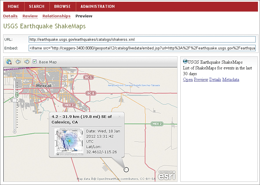
Esri Geoportal Server 1.2 now includes support for using OpenStreetMap as the basemap for the search, preview, and data download maps.
Esri Geoportal Server is a free, open source product that enables discovery and use of geospatial resources, including datasets, rasters, and web services. It helps organizations manage and publish metadata so users can connect to those resources. Geoportal Server supports standards-based clearinghouse and metadata discovery applications.
New Services, Applications, and Metadata Profiles
It is now easier than ever to customize Geoportal Server and integrate it with any IT infrastructure.
Version 1.2 greatly expands the types of services that can be used as basemaps for the search, preview, data download, and online metadata editor functionality. Support is now included for Open Geospatial Consortium, Inc., Web Map Service and Web Map Tile Service services and the OpenStreetMap basemap. Additionally, users can now configure the default initial extent of the search, preview, and data download maps in Geoportal Server.
Geoportal Server now supports additional external databases and Lightweight Directory Access Protocol (LDAP) technologies. In keeping with the open source vision for Geoportal Server, support for the popular open source database MySQL has been added. Additionally, support for PostgreSQL 9.1 has been verified and is now official. The newly supported LDAP technologies are also open source. An enterprise-class, open source LDAP server for Linux, 389 Directory Server—developed by Red Hat and managed by its community-maintained Fedora Project—handles many of the largest LDAP deployments in the world. Geoportal Server also now supports OpenDS, a community-driven LDAP server written in Java to provide platform-independent services.
The two new metadata profiles included with Geoportal Server 1.2 are the UK Gemini 2.1 and ISO 19115-2 profiles. UK Gemini 2.1 is specifically designed and used to describe geospatial information for discovery purposes, supporting the latest version of the Infrastructure for Spatial Information in Europe (INSPIRE) technical guidelines. It is managed by the Association for Geographic Information Standards Committee. ISO 19115-2 is an extension of the ISO 19115 standard to allow imagery, raster, and gridded datasets. This standard is used to describe the deviation of the dataset from the raw data that was collected in the field.
Support for XSLT and Schematron validation is also included.
New Features
The new features in Esri Geoportal Server 1.2 provide additional ways to harvest resources, categorize resources registered with the geoportal, and improve search efficiency in distributed architectures.
At version 1.2, it is possible to register a THREDDS Data Server for harvesting. THREDDS technology allows scientific data and metadata to be accessed using a number of remote data access protocols. At THREDDS version 4.2.4, ISO metadata is available for these resources. Esri Geoportal Server 1.2 can harvest this metadata from a THREDDS catalog, iterating through its nested structure.
The collections functionality is an experimental new feature that allows users to categorize metadata into subsets within the geoportal catalog.
The enhanced search index supports implementations that require load balancing, such as connecting multiple geoportals to a single search index or using multiple separate indexing servers.
For more information, visit esri.com/geoportal.
See also "ArcGIS for INSPIRE SP2 Released."