Geodesign in Practice
Two-Day Summit Focuses on Real Projects
 At the GeoDesign Summit, held January 5–6, 2012, in Redlands, California, Esri president Jack Dangermond underscored the importance of putting geodesign to work on pressing issues such as climate change, energy needs, health care, poverty, and biodiversity loss. Dangermond recalled a recent discussion with former US president Bill Clinton, in which he was struck by Clinton's words about taking action.
"He talked about all the policies and discussion about climate change and population, and he said, 'I'm not really sure all these discussions are going to matter.' There was silence in the room. He said, 'What I actually have faith in are real projects. I'm dedicating my life to doing projects.' He said where the rubber hits the road is doing real project work. Isn't that really what geodesign is about?"
This message was reflected throughout the 2012 GeoDesign Summit. The theme of the summit, "Geodesign in Practice," went to the heart of geodesign's ultimate goal: finding innovative solutions to the most pressing challenges by fusing design processes with geospatial technologies.
Real Projects

Esri Conference Center auditorium.
Many of the conversations among the 200 attendees focused on how elements of geodesign are being put into practice by urban planners, architects, landscape architects, design and GIS professionals, and even marine scientists. Stuart Rich from PenBay Solutions LLC spoke about how geodesign is helping Kuwait University plan construction of a new multibillion-dollar campus. Lilian Pintea from the Jane Goodall Institute described how geodesign is being used to protect chimpanzees through community-centered conservation. Abby Jones from the Anthro/Ecological Design Collective talked about the role of geodesign in a project to turn distressed land into parks in Los Angeles.
Will McClintock, a marine scientist from the Marine Science Institute at the University of California, Santa Barbara, delivered a presentation called SeaSketch: Designing for Our Oceans. Using GIS technology, his lab is currently developing the SeaSketch application that will let anyone log on to a website and sketch out proposed marine protected areas in the ocean. Scheduled to be available this summer, the application will provide automated feedback on how well proposed designs meet science and policy guidelines.
"We really have reached the point in history where the tools required for sound decision making are no longer restricted to people with specialized knowledge," said McClintock. "You can do this. Everybody can do this. Everybody should have the ability to express their opinions about how ocean space is used and measure those opinions against good science."
The Future
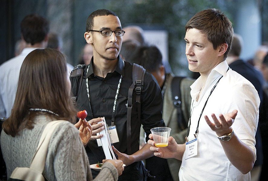
The GeoDesign Summit engaged geospatial professionals from around the world for two days.
There was also an increased focus on developing the next generation of geodesign practitioners, as evidenced by the growing number of universities launching geodesign programs or curricula. These include Penn State University, which is developing a master's program in geodesign, and Northern Arizona University, which has already launched a bachelor's degree in geographic science and community planning.
The GeoDesign Summit ended with a thought-provoking talk on the future of geodesign by Stephen Ervin, assistant dean for information technology at the Harvard University Graduate School of Design. While Ervin said he thinks that it's highly unlikely any agreed-on definition of geodesign will ever emerge, one certainty will be a planet of 10 billion people. "It is for these people that we do geodesign," he said. "It's not for the trees or the hydrological systems or the atmosphere. It's for the 10 billion people that are our inheritors of what we do."
Years from now, Dangermond said, people will look back at geodesign as "an evolutionary step for humans. It's going to be, 'Ah, finally we connected the dots. Finally we began to realize the implications or the consequences of our actions.'"
The next GeoDesign Summit will be held January 24–25, 2013, in Redlands.