Summer 2003
Summer 2003 |
|||||||
|
|
|||||||
Norwegian Electrical Consortium Brings GIS Online |
|||
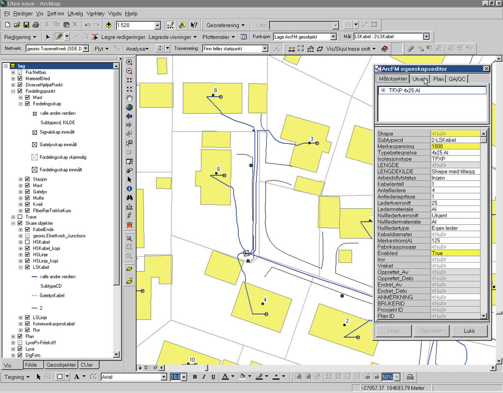
Though relatively small in size and population, Norway is a highly industrialized Scandinavian nation, relying on an ever-increasing supply of electrical energy, even in the midst of the deregulation and subsequent consolidation of its electrical industry. While there were more than 300 electrical distribution companies throughout the country when deregulation started just 10 years ago, Norway now has fewer than 200, and within the next five years another 100 companies are expected to disappear through mergers and takeovers. Although rich in oil, natural gas, and hydroelectric energy, an emphasis on conservation and a pragmatic approach to energy consumption have been part of the strategic energy plan in Norway for many years. Since almost all of Norway's electric power is based on hydroelectric sources, weather is a major factor in energy production. In dry years, up to 20 percent of all electrical energy consumed in Norway originated from outside the country. Given the many challenges in production, distribution, and the environment facing the Norwegian electrical industry, GeoNIS, a consortium of three electrical distribution companies, turned to GIS as the strategic component in the modernization of its electrical network and information technology systems. The GeoNIS consortium includes Lyse Nett AS, which operates in the area of Stavanger; BKK Nett AS, located around Bergen; and EAB Nett AS, operating in the western suburbs outside of Oslo. EAB later merged with Viken Nett, which now serves the greater Oslo area. Viken is adopting the GIS solution for its entire company. Together these companies serve more than 800,000 customers, which is approximately 35 percent of the total number of customers in Norway. GeoNIS has based its GIS on Esri's ArcGIS, Esri Business Partner Miner & Miner's (M&M) (Fort Collins, Colorado) ArcFM 8 and Designer, and other related products. Because of the changing structure of the electrical market in Norway due to consolidation and acquisition, one of the greatest strengths that GIS has brought to the GeoNIS group is the ability to integrate a variety of data into one consistent database with minimum redundancy in the data. Since electrical network development and subsequent database revisions are an ongoing process, the versioning feature of M&M's Designer is an important part of the GIS. It allows the tracking of different stages of the various projects in progress and provides the opportunity to look at the entire network, including proposed design changes. Another key feature of the GIS is a customized version of Esri's recently released ArcGIS Schematics, which provides a view of schematic drawings linked to the GIS. An engineer can start on the main regional distribution line of the electrical network in the GIS and drill down through the successive layers of the schematic drawings of the network to the customer level. This provides the ability to conduct a search for an object on the network and view every schematic drawing that contains that object. The ArcGIS Schematics output is automatically generated from the GIS. The application has been customized for the Norwegian market. Lyse Nett AS, one of the three consortium members, has begun the process of integrating SAP R/3, its enterprise resource planning software, with its GIS. Comments Arne Viste, project manager at Lyse Nett, "We are currently running the PS module of SAP for logistics related to project and work order management. We use it in conjunction with Designer, which has good mechanisms to keep track of materials and labor. For example, if we are going to lay new cable, it's now possible to determine how long the trenches should be and how many machines and operators will be required to dig those trenches. We can also calculate the required amount of materials, such as cable and asphalt, and estimate how long the job should take. This has been a great time-saver for us. Previously, we had to go to a storage depot at the beginning of a workday and select the necessary materials. Often, essential materials were accidentally forgotten, which required another trip to the depot, therefore wasting time and money." In Norway's transitional electrical utilities market, Lyse Nett is becoming involved in other utility industries. It has recently established a gas company and is also moving into the area of telecommunications. "GIS gives GeoNIS a consistent platform for the integration of standard data for different utility networks, which could be very useful in the future. Modeling data will vary between the utilities, but using the same system environment for the different company networks is a great benefit," adds Viste. Last year, BKK Nett AS implemented a fault/outage management application within its GIS. All medium- and high-voltage network information was put into Esri's ArcSDE, and customer loads from the company's customer information system (CIS) were aggregated on the transformers. This enables the company to trace its network and simulate faults and planned outages. BKK Nett can then estimate the amount of electricity not delivered to its customers, which helps them maintain delivery standards. A key factor in the deregulated market is the compensation for energy not delivered. If a network owner fails to keep up the power delivery, the company must pay compensation and penalties, both to the customer and to the company supplying the power. This is done to secure the quality of delivery. Functionality to monitor and report power failure to the authorities has been added to the system. Comments Tomm Monsen, system administrator at BKK Nett AS, "We are currently focused on our electrical network, but we are also involved in telecommunications and district heating. The GIS is assisting us in planning, documenting, and operating our electrical network. "We have plans for a SCADA integration with our GIS to better support the process of simulating faults by retrieving the network switch states and loads directly from the SCADA system," adds Monsen. As a first step, functions are currently being developed to connect all switches so that when there are changes in the switching for the network, the SCADA system will send a message to the geodatabase and the switching change will be automatically recorded in the GIS. "This means that the switch settings in the SCADA will be the same as they are in the GIS, which is the first step in synchronizing the two systems. The loads from SCADA will calibrate the loads from the CIS and give us a more accurate calculation," concludes Monsen. Since GeoNIS consists of three utilities, a priority is to convert all of the network information from the participating companies into ArcSDE to maximize spatial data storage and retrieval and minimize redundancy in the database. To develop these applications, GeoNIS is using components within ArcGIS and several routines created by Geodata AS, Esri's distributor in Norway. GeoNIS is currently using ArcIMS to query and view data in ArcSDE, including its electrical network. A Java Intranet application has been developed in ArcIMS for this purpose. It is anticipated that the consortium's field operators will also use ArcIMS in the future when the database conversion process is complete. Harald Hansen, Geodata's project manager for GeoNIS, believes that the future of GIS in the utility industry is in the integration of databases from diverse applications. "The way it appears to me," says Hansen, "is that mapping systems are being replaced by more integrated GIS solutions, which will allow the incorporation of different types of databases. With the current rate of mergers in the marketplace, the database solutions must be generic and flexible. For example, the integration of our GIS with a work management system, such as SAP, or a financial system will allow the tracking of projects and their related costs. Another area is in customer service, where the same database could be used for tracking faults in the system as well as analyzing and locating new customers. "In Norway, utility companies are becoming combined service providers. The provider of electricity may also provide telecommunication services, water/wastewater services, natural gas, or district heating. This too will stimulate the use of hybrid GIS systems capable of managing a wide variety of data," concludes Hansen. For more information, contact Arne Viste, Lyse Nett AS (tel.: 47-5190-8005, e-mail: arne.viste@lyse.no). |