 Mapping the News: Case Studies in GIS and Journalism Mapping the News: Case Studies in GIS and Journalism
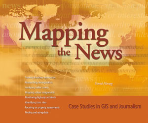
Mapping the News: Case Studies in GIS and Journalism, edited by David Herzog, shows how GIS and computer-assisted reporting are revolutionizing the news business. Ten case studies include examples of how GIS helped reporters and editors enhance their coverage of population growth and demographic change, drunken driving, mudslides, lead poisoning, property assessments, the location of toxic sites, school desegregation issues, and ballot counts in the contested presidential election in 2000. Mapping the News also reveals how GIS contributed to the Miami Herald's Pulitzer Prize-winning coverage of Hurricane Andrew, as journalists sought to measure, analyze, and better understand the hidden reasons behind the storm's ravaging effects on south Florida.
Mapping the News is an important guide for newsroom managers, journalists, and student journalists who want to dig beneath the surface and strengthen their competitive edge. Packed with full-color illustrations, maps, and other graphics that help describe the case studies, the book also contains an introduction on GIS and how it works. Mapping the News shows how GIS lets newspaper reporters and television producers analyze and categorize data in a spatial context, producing graphically compelling patterns of cultural phenomena such as crime and racial discrimination.
Herzog is an assistant professor at the University of Missouri School of Journalism, an academic adviser for the National Institute of Computer-Assisted Reporting, and a former investigative reporter for the Providence Journal. The 150-page Mapping the News is available this summer, retailing for $19.95.
 Advanced Spatial Analysis: The CASA Book of GIS Advanced Spatial Analysis: The CASA Book of GIS
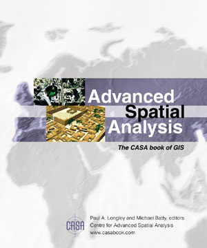
Advanced Spatial Analysis: The CASA Book of GIS, edited by Paul A. Longley and Michael Batty, describes the latest developments in GIS applications at the Centre for Advanced Spatial Analysis (CASA) at University College, London. Advanced Spatial Analysis demonstrates how CASA is advancing spatial decision systems and spatial analysis, which are essential to solving problems and understanding how people live. The book presents cutting-edge work on GIS applications in such fields as urban planning, transportation, and economic development. The GIS applications are drawn from archaeology, architecture, cartography, computer science, environmental science, geography, planning, remote sensing, and transport studies.
Advanced Spatial Analysis highlights projects such as "Digital Egypt," which describes virtual reality reconstructions for Egyptian archaeological finds; "Agent-Based Pedestrian Modeling," which suggests models for spatial events such as football games and carnivals by simulating the movement of pedestrians and local traffic and by using ideas about how crowd behavior emerges; and "Virtual Cities," which explores the concepts and nature of virtual cities, from early CAD models.
Paul Longley is a professor of geographic information science at University College, London, and acts as the deputy director of CASA. Michael Batty is the director of CASA and a professor of spatial analysis and planning at University College, London. Available this summer, the 462-page Advanced Spatial Analysis retails for $39.95.
 Making Community Connections: The Orton Family Foundation Community Mapping Program Making Community Connections: The Orton Family Foundation Community Mapping Program
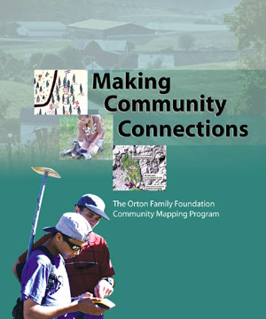
Making Community Connections: The Orton Family Foundation Community Mapping Program, by The Orton Family Foundation, focuses on GIS and GPS to bring teachers and students together with community members to study resources of interest and importance to the community such as wildlife habitats, rivers, and ski resorts.
The materials in the seven chapters offer a solid foundation and flexible framework for original projects created and developed by students, their teachers, and their communities, allowing explorations and investigations of places and problems of interest and concern to them.
The Orton Family Foundation, an Esri Business Partner in Weston, Vermont, is a nonprofit, private foundation working with rural communities as they cope with rapid economic, social, and environmental change. Its mission is to provide rural America with the tools it needs to undertake responsible rural and land use planning. The 150-page Making Community Connections is available this summer, retailing for $19.95.
Esri Press publishes award-winning books about GIS applications, methods, and technology. Books can be purchased from Esri at 1-800-447-9778, online at the Esri Press Web site (www.esri.com/esripress), or at bookstores worldwide. A complete collection of Esri Press and third party books is available at the Esri Store (www.esri.com/shop).
|