Summer 2006
Summer 2006 |
|||||||
|
|
|||||||
City of Jacksonville, Florida, Maps Its Storm Water System with GIS |
|||||
To enforce the law and encourage these principles, FWPCA created the system of permitting wastewater discharges known as the National Pollutant Discharge Elimination System (NPDES). Focusing primarily on controlling pollutants from urban and industrial storm water discharges, Phase I of the NPDES program required all municipal separate storm sewer systems (MS4s) serving a population of 100,000 or more to acquire a permit. The city of Jacksonville (COJ), located in northeast Florida, is rich with natural water resources, such as the Atlantic Intracoastal and the St. Johns River. In June 1991, COJ, along with its co-permittees—the Florida Department of Transportation (FDOT) District II and the cities of Neptune Beach and Atlantic Beach—started the process of applying for an NPDES permit that would cover the largest MS4 in the nation. The application was accepted, and the permit was acquired in March 1997. COJ and FDOT jointly turned to England-Thims & Miller, Inc., of Jacksonville, an Esri Business Partner, to prepare their permit applications and assist in the fulfillment of the permit's requirements after its issuance. Because the city of Jacksonville spans more than 758 square miles, the most time-consuming and labor-intensive task associated with meeting the requirements of the permit was the mapping of the MS4. The inventory included the locations and pathways of storm water pipes, along with inlet, manhole, and outlet construction information, all of which are stored in an Esri geodatabase with submeter accuracy. The MS4 spatial data was compiled through a process that involved both intensive field data collection and a review of design drawings and as-built drawings acquired from both the city of Jacksonville and FDOT. However, despite every effort to ensure the accuracy of the inventory, some logical gaps still exist within it. Gaps are due to a variety of reasons, including updates to the existing system, missing or inaccurate record drawings, a lack of access by field crews caused by private property rights, paved-over manholes, or any number of other real-world conditions that hinder the accuracy of any project. To correct these gaps and acquire MS4 information in areas of new or updated construction, England-Thims & Miller and its surveying partner Robert M. Angas Associates are conducting a field quality assurance (QA) program.
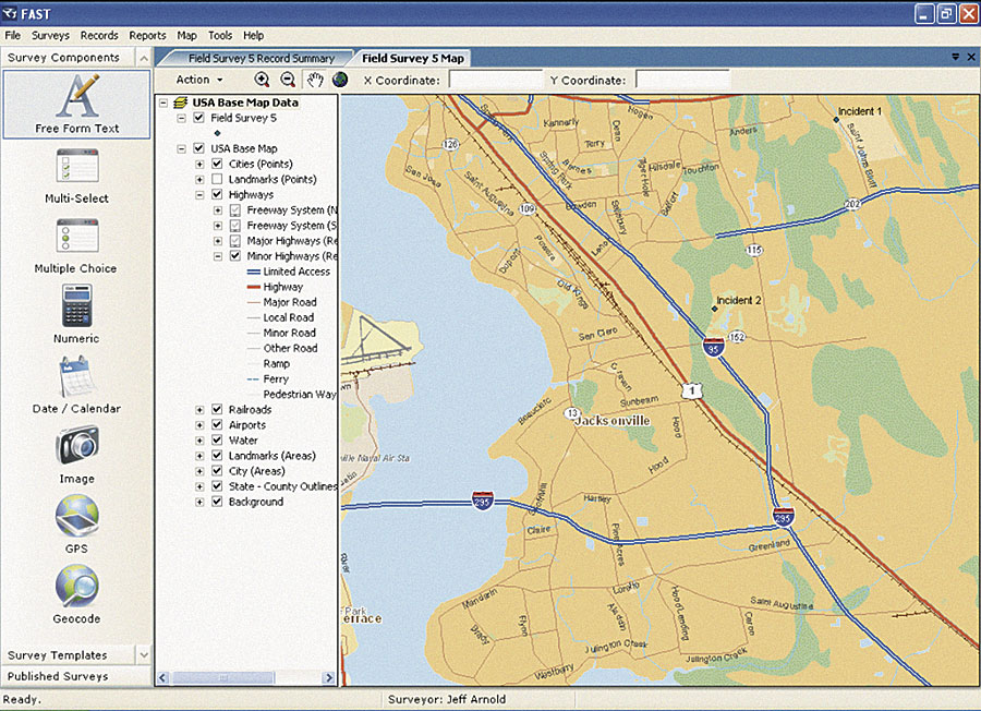
The old method of cross-referencing of documents and paper maps in the field was tedious and time-consuming. Using mobile devices loaded with ArcPad and FAST working together allows field crews to take data layers crucial to resolve "gaps" into the field. The field crews now have instant access to feature classes depicting the current state of MS4, planimetric data, topographic data, aerial photography of the region, major and minor basin boundaries, and hydrologic features. The evolution of hardware and software has allowed England-Thims & Miller to greatly improve the processes associated with the NPDES permit. "When we started data collection in 1996," explains Kim Garbade of England-Thims & Miller, "because of the state of the existing technology, we would go out with two teams: one that collected the attribute and image data and the other that collected the feature's coordinates. We would postprocess this data into shapefiles." As GIS technology has evolved, COJ has improved the process and can collect photographic, attribute, and positional data simultaneously with a one-man crew, and now stores the data in a SQL Server geodatabase using ArcSDE. More InformationFor more information, contact John Pappas, city engineer, city of Jacksonville, Florida (e-mail: pappas@coj.net); Kim Garbade, England-Thims & Miller, Inc. (e-mail: GarbadeK@etminc.com); or Jeff Arnold, GeoAge, Inc. (e-mail: Jeff.Arnold@GeoAge.com). |