Summer 2009
Summer 2009 |
|||||||
|
|
|||||||
Routing Solution Helps Danes Breathe Easier |
|||
|
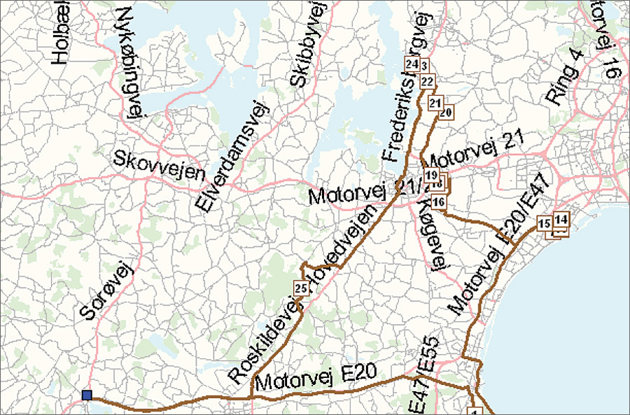
Your cough, headaches, and gasps for air may be symptoms of a cold, or they may be caused by smog. Unfortunately, GIS cannot cure the common cold, albeit we wish it could. But it can be used to significantly reduce air pollutants, the bane of urban living. Denmark's transportation companies are considering how route optimization can reduce their carbon (CO2) emissions.
Global green initiatives include information technologies to identify problem areas, create plans, and measure the effects of environmental programs. GIS supports the science for measuring and analyzing environmental impacts, as well as providing environmental management solutions that effect change. One solution is to use GIS for intelligent fleet management. This can reduce CO2 emissions and provide the benefits of saving time and money. Denmark's University College Sealand is using GIS to efficiently meet cost reduction objectives. A way the university serves the surrounding community is through an outreach program that delivers books and training materials to educational institutions in the region, which includes 17 municipalities. This project has three distribution centers, each with five drivers. Informi GIS A/S—Esri's software distributor in Denmark—created a routing solution for the university, using ArcLogistics routing software, that optimized these drivers' routes. GIS calculated routes and schedules that reduced kilometers driven by 25 percent, drive time by 8 percent, and number of routes by 13 percent. The solution also revealed a more profitable placement of distribution centers. Day-to-day routing became more responsive to changing routing requirements. Denmark's transportation sector accounts for more than 20 percent of the country's CO2 emissions. In an effort to highlight effective pollution solutions that include an element of sustainability, the Danish IT Industry Association and the Ministry of Science organizations hosted an event called the First Danish Championship in Green IT. Informi entered its University College Sealand routing project and received a second-place award. Contest jurors were impressed that the GIS routing solution both improved the delivery project's efficiency and reduced its fleet's CO2 emission by 20�25 percent. The sponsoring organizations will publish the contestants' projects so that the transportation industry and others can consider them. Read More About How GIS Is Used to Help the EnvironmentDownload the free handbook GIS for Air Quality. Visit the GIS for Environmental Management Web site at www.esri.com/environment. Find out more about ArcLogistics at www.esri.com/arclogistics. |