Summer 2010
Summer 2010 |
|||||||
|
|
|||||||
Colombian Coffee Growers Use GIS to Brew Better Crops |
|||
Highlights
The coffee harvest is a historic component of the Colombian economy that can be traced back more than 300 years to the arrival of Jesuit priests from Venezuela, who began its cultivation. Today, the harvest represents about 10 percent of Colombia's total exports, and the industry employs more than 500,000 people in its coffee production operations. Most farms are small producers, with less than five hectares of coffee trees under cultivation.
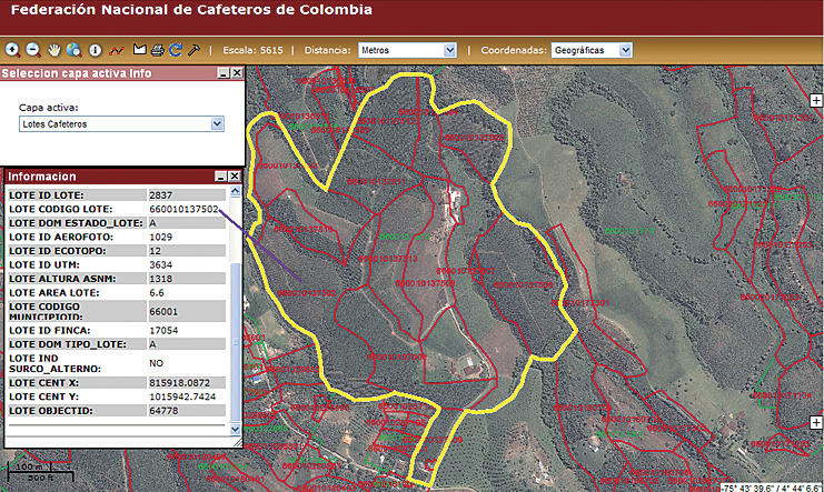
In 1927, the Federaci�n Nacional de Cafeteros de Colombia (FNC) was formed to represent the interests of the small coffee growers in the country. However, because of the large number of coffee growers, FNC faced a problem in centralizing the data collected from these farms. This impacted the federation's ability to negotiate better coffee prices based on coffee yield predictions across the entire country. To improve its forecasting capabilities, FNC conducted an extensive survey of coffee production in Colombia nearly 20 years ago. The resultant Encuesta Nacional Cafetera (ENC) is the standard on which the regularly updated Sistema de Informaci�n Cafetera (SICA) is still referenced today. SICA is a system that provides the fundamental data infrastructure and strategic information used in the design, formulation, and tracking of Colombian coffee farming. The current version of SICA has been based on ArcGIS Server software since 2008 and is used for online information analysis, planning, sustainability policies, decision making, competitive analyses, environmental monitoring, crop forecasting, farm registration, and quality assurance. FNC had been using ArcGIS Desktop software for many years and naturally selected ArcGIS Server to upgrade SICA. The model ENC survey included a collection of aerial photographs that were orthorectified using Esri's GIS software for inclusion in the original SICA geographic database. Today, the ArcGIS Server Image extension is used to manage and publish the large volumes of geospatial imagery that it collects from remote-sensing sources, such as orthophoto mosaics, satellite imagery, and aerial photography, for inclusion in SICA. The technical staff at FNC uses ENVI image processing software for multitemporal analysis and research on the collected imagery. Crop forecasting is carried out using ArcGIS analytic tools on SICA data, which includes georeferenced samples collected by FNC field service teams within specified cultivated areas. To conduct the biannual sampling process, more than 1,000 field technicians harvest both ripe and unripe beans from coffee trees in each specified area. The beans are counted and weighed, then statistical processes are applied to extrapolate crop estimates for the succeeding six-month period. After completing their samplings, the FNC field service teams upload the crop yield data into the SICA geodatabase through either an Internet-based server application or a custom-built ArcGIS Mobile application. Because the FNC GIS is Web based, near real-time updating of the SICA database can now be performed. The collected data is also analyzed by Cenicaf�, FNC's research center, and the federation provides reports to its members regarding its critical findings. Current research topics include erosion management; soil remediation; and the multiple ways in which the coffee harvest is affected by changing environmental factors, such as variations in rainfall and temperatures. FNC also monitors the socioeconomic issues that affect the coffee farmer. SICA maintains information regarding the educational opportunities for FNC members, the condition of the infrastructure in their towns and villages, and the health care facilities available to them. GIS has proved to be an invaluable resource for the Federaci�n Nacional de Cafeteros de Colombia and its constituent farmers. The technology not only provides a wide range of services related to coffee crop forecasting and associated research but also allows the federation to track the quality of life of its members. This provides a compelling example of the power of GIS and how it can help improve the socioeconomic conditions of people throughout the world. More InformationFor more information, contact Juan Pablo Becerra, program coordinator, Federaci�n Nacional de Cafeteros de Colombia (e-mail: juan.becerra@cafedecolombia.com), or Carlos Cardona, Proc�lculo Prosis S.A. (e-mail: ccardona@prosis.com). |