Summer 2010
Summer 2010 |
|||||||
|
|
|||||||
Users Collaborate to Build Free, High-Quality Basemap
Community Basemap Program |
|||||
Highlights
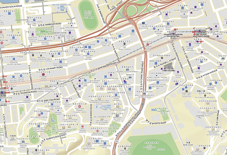
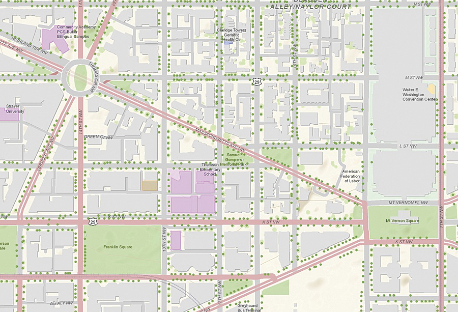
A new and popular program is helping provide users worldwide with uniform and authoritative source basemaps that contain the level of detail and coverage needed for most GIS Web mapping projects. Most organizational GIS departments compile and maintain mapping data for their own jurisdiction, but adding this data to global basemaps that can be used by anyone creates many challenges that cannot be easily overcome by individual organizations. Through Esri's Community Maps Program, ArcGIS user organizations and other geographic data providers worldwide now have a way to contribute their authoritative, up-to-date geographic data to a community map that is broadly available. Hundreds of organizations around the world are providing their authoritative and up-to-date content for integration into online community maps, such as World Topographic Map, World Street Map, and World Imagery. These popular maps are hosted and maintained by Esri and can be used with Esri software (desktop, Web, mobile), as well as standard Internet browsers using Esri's free and open Web mapping APIs. The intent of these community maps is to provide the best available data from multiple governmental and commercial data providers to the GIS user community and to continue to enhance these maps. What type of data is needed? Detailed basemap data for cities or regions at 1:5,000 scale, for example, vegetation layers, building footprints, or parcel data; basemap data for counties or regions at 1:50,000 scale; detailed street map data at 1:50,000 scale or larger; and high-resolution imagery, for example, 1 meter or better—collected in the past three years. Any data that is provided through the program is checked to ensure that it improves on the existing data in the community map. And while Esri will request permission to publish the data as part of the community map online, it does not take ownership of the data. Content that has been contributed and accepted is integrated into one of the existing community basemaps and published during the update cycle, typically twice a year.
Organizations that are interested in receiving help to prepare their data for online publishing can perform two important steps: author the map, then cache the map. To help with authoring the map, Esri has created a number of downloadable map templates that ensure uniform, high-quality cartography. These templates also include map documents, sample data, and symbol style files. Once the map has been authored, a map cache is generated using the Bing Maps/Google Maps tiling scheme, or ArcGIS Server can be used to create a map cache using the built-in tiling scheme. Alternatively, Esri can create the map cache based on the authored map provided by the organization. The map cache is then blended into the community map and published. Participation is simple. User organizations that are interested in contributing their data to the Community Maps Program just need to fill out a participation form and provide some information about their data, such as coverage area, resolution or scale, and a brief description. Once Esri has received the data, it will review the data to confirm the suitability and notify the user organization. Contributing geographic data through the Community Maps Program benefits user organizations by eliminating costs associated with distributing data and making it widely available. It also decreases the costs associated with setting up and maintaining data. More importantly, it provides a mechanism for user organizations to make their high-quality, authoritative content available globally in an easy-to-access manner. More InformationTo get more detail about the program, fill out the participation form, and download map templates, visit www.esri.com/communitymaps. Also see the Community Maps Program poster [PDF]. |