GIS Day Is Coming
November 14, 2012
 GIS Day will be celebrated by thousands of users in more than 60 countries around the world on Wednesday, November 14, 2012. We invite you to participate by hosting, attending, or volunteering at a GIS Day event—and showing the world why GIS is important to you.
GIS demonstrations, corporate open houses, map gallery tours, hands-on GIS technology training and workshops, and expos on educational and career opportunities in the field are all ideas for you to kick-start your GIS Day event planning. New resources on the gisday.com website to promote and share at your event will be available leading up to November 14 so that you can create buzz surrounding your own festivities.
If you are attending the Esri International User Conference (Esri UC) in San Diego, California, this year, get the latest information about GIS Day at the GIS Day interactive booth. From event consultation to special activities during Family Night, the GIS Day booth at the Esri UC is your one-stop location to flex your creativity and learn innovative ways to host a GIS Day event. The booth will be located on the upper level, directly across from the GeoLounge.
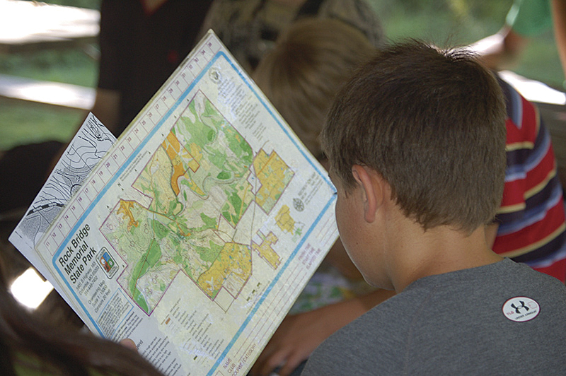
At the 2011 GeoTech Camp sponsored by the University of Missouri, Department of Geography.
By participating in GIS Day—by either hosting, attending, or volunteering at an event—you will leave with an understanding of geospatial technology and the positive force it can play in your life and business, as well as helping to share this energy with your community.
The following event recaps should get you excited about GIS Day 2012.
Zombie Maps Enthrall Missouri Students
In the American Heartland, GIS Day is alive and well. In a display of the technology's playful, creative side, participating high school students spent more than a month at the Columbia Area Career Center creating "zombie" maps depicting the best places to take refuge if a "zombie apocalypse" hit Missouri today. The fanciful maps demonstrated that it would be best for Missourians to avoid cities—including Columbia—and hide out in the state's vast hinterland from the teeming hordes of undead, says Shannon H. White, PhD, geospatial extension specialist at the University of Missouri Department of Geography in Columbia.
"The exercise received coverage from the local press and TV news and was touted as 'kitschy and fun,'" recalls White. "[T]he applied GIS behind those maps was rooted in emergency management."
The zombie maps were featured at Columbia City Hall's GIS Day event alongside more practical-minded GIS projects, including a demonstration of Columbia City View, a GIS system now on the city's website that provides map views with information layers, such as zoning designations and natural resources.
State Agency Learning Experience
Not to be outdone, the Washington State Department of Transportation (WSDOT) in Olympia has hosted GIS Day and Geography Awareness Week for the past 13 years. In 2011, WSDOT sponsored a GIS Day seminar, a hands-on workshop, and a map competition, with GIS displays set up in two locations in Olympia. More than 500 people participated, says Richard C. Daniels, GIS coordinator for the Office of Information Technology at WSDOT.
According to Daniels, the winner of last year's People's Choice Award for best map was titled Monastery Complex Fire. Originally produced for WSDOT's Emergency Operations Center, this map showed those portions of US Highway 97 that the fire impacted.
As the demographic focus of GIS Day events often varies widely between venues worldwide, so does that of the WSDOT.
"Over time," Daniels explains, "our audience has matured, and all agency employees now have access to GIS on demand. Our focus is now on educating our customers on changes in our GIS environment, informing them of new GIS data and applications, and ensuring that our executives are aware that this technology is now a core tool that is used throughout the agency."
For more information on GIS Day and how to host an event, visit gisday.com.