US Ambassador Betty King Addresses GIS for UN Conference
Keynote Highlights How Geospatial Analysis Is Transforming Global Challenges
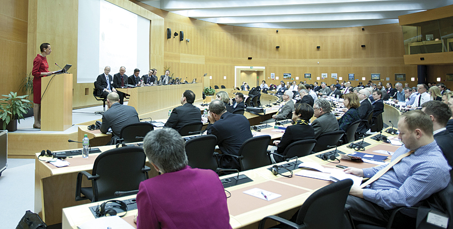
Ambassador Betty King presenting at the Geographic Information Systems (GIS) for the United Nations and the International Community Conference. (Photo credit: US Mission/Eric Bridiers)
More than 200 attendees from the United Nations, academic fields, nongovernmental organizations, and the private sector participated in the GIS for the United Nations and the International Community Conference held in Geneva, Switzerland, April 3-5, 2012, at the World Meteorological Organization headquarters. The conference opened with a keynote from Ambassador Betty E. King, the United States' permanent representative to the United Nations Offices in Geneva. King spoke on the role of technology and information as a transformative tool empowering local actors to address global challenges and development opportunities.
"On behalf of the US government and President Obama, I applaud your use of technology in your work," stated King. "The world's current resources are insufficient to address all the major global development and humanitarian crises that we face. Through the use of science and technology, including innovative uses of GIS applications, we can become more effective and efficient in this endeavor and stretch the power of limited resources."
The United Nations (UN) Institute for Training and Research's (UNITAR) Operational Satellite Applications Programme (UNOSAT) and Esri organized the conference to demonstrate and discuss the role of GIS in global challenges. Attendees gathered to discuss how GIS can provide the analytic knowledge required to make better decisions on issues that are critical for the planet.
The aim of the conference was to bring together experts from the United Nations and other international and nongovernmental organizations, government agencies, and the private sector. During breakout sessions, panel discussions, and networking opportunities, they learned how to best apply geographic information science to devise better responses to regional and global challenges.
"This conference was a good opportunity to take stock of geographic information technology and its benefits for the international community at large, especially for decision makers," said Francesco Pisano, manager of UNOSAT. "The more GIS is understood and adopted, the more our work as experts in satellite analysis will be useful and relevant. I am very pleased with the partnership with Esri."
UNOSAT is a program of UNITAR that uses specialized skills to perform satellite imagery analysis, design integrated solutions in GIS and geopositioning, and develop the capacity of agencies and countries via training and technical support. UNOSAT is designed to produce concrete output for identified users and beneficiaries. It does this by turning technology into concrete and usable applications for UN agencies, member states, and communities in a variety of areas with prime focus on humanitarian affairs and relief coordination, damage and impact assessment, human security and human rights, and territorial planning and monitoring.
Attendees participated in 10 sessions focused on advancing the use of GIS and spatial analysis for the missions that humanitarian and international agencies commonly undertake. The final day of the event included a postconference workshop where attendees learned how to extend the reach of their GIS using various free resources from Esri. The workshop included presentations on implementation, resource topics, and demonstrations from Esri staff as well as a hands-on exercise showing how to get started with ArcGIS Online.
"In today's world, we face many global challenges brought on from natural and man-made events," said Jack Dangermond, Esri president. "From an office in Geneva to a refugee camp in Africa, GIS enables better collaboration and visualization and rapid dissemination of critical information when and where it's needed most. No matter the mission, geography is at the heart of a more resilient and sustainable future."
UNITAR's UNOSAT and Esri jointly organized the conference. Astrium, Esri Suisse SA, GeoEye, and TomTom sponsored the event. The conference will be held again next year and will be attended by humanitarian and development senior executives, practitioners, researchers, nonprofit consortia, and others.
To read King's address in its entirety, visit geneva.usmission.gov/2012/04/04/gis.