Winter 2002/2003
Winter 2002/2003 |
|||||||
|
|
|||||||
ArcMap Server Is Now Included as Standard With ArcIMS
Announcing ArcIMS 4.0.1 |
|||
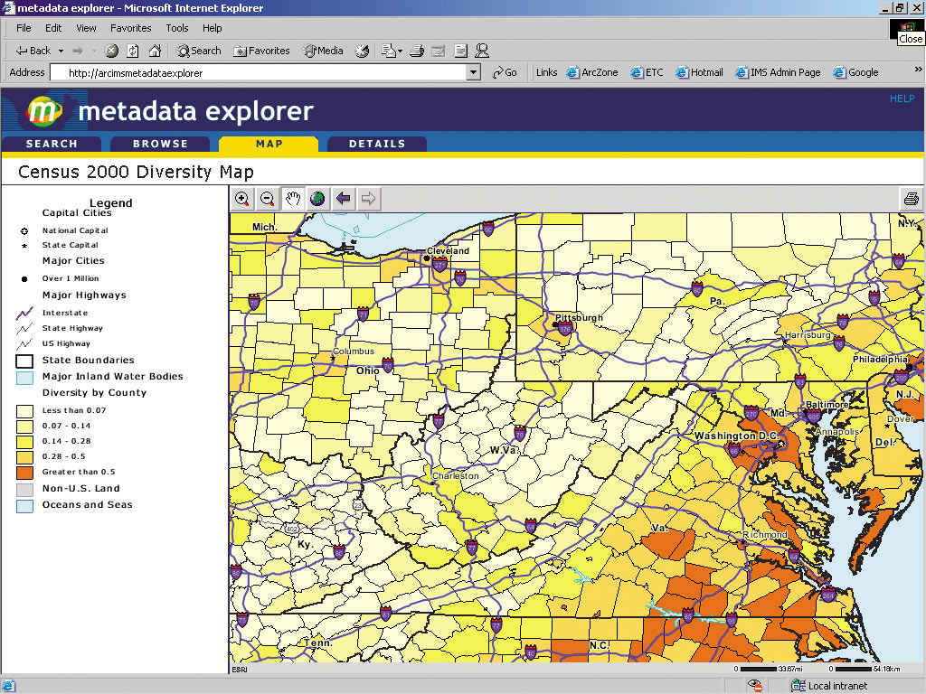
ArcIMS 4.0.1 offers a number of enhancements, highlighted by the expansion of the ArcIMS Metadata Services capabilities introduced with ArcIMS 4. ArcIMS, in combination with ArcGIS 8.2, now gives users everything they need to implement metadata and create their own geography network. ArcIMS Metadata Services, which are part of core ArcIMS functionality, open up an efficient means of publishing geographic metadata over the Internet and allow users to quickly search for the data they need. With the release of ArcIMS 4.0.1, Esri is introducing new metadata harvesting tools. Using these tools, contributors to a metadata clearinghouse can export their metadata, which is then stored in a centralized node. This centralized node acts as a community portal (for example, a state-level geography network). When a search is initiated, rather than propagating a search that goes out to all nodes, the search simply goes to the centralized node, which then points to the exact location of the desired data. ArcIMS Metadata Services also include a Z39.50 Connector. Z39.50 is a standard communications protocol that is used by library systems and research institutions worldwide, including the Library of Congress and the National Spatial Data Infrastructure (NSDI), to search for and retrieve data from online databases. With the ArcIMS Z39.50 Connector, you can make your geospatial metadata available to any Z39.50 client applications using ArcIMS Metadata Services. In other words, ArcIMS Metadata Servers can become nodes on the NSDI Clearinghouse network at no extra cost. ArcIMS 4.0.1 users also receive a new ArcIMS Metadata Explorer sample, which illustrates how to customize the default Metadata Explorer application to meet your needs. The Metadata Explorer is a JavaServer Pages application used to build a browser-based means of searching for data. In addition, utilities for exporting and importing metadata are now available, allowing users to share metadata between metadata services and leverage the metadata that is available in other databases. Other enhancements to ArcIMS include a new Java Connector sample viewer, which is a template application that can be customized and used as a springboard for development of more complex Java Connector applications; additions to the ActiveX Connector; support for the SDI operating system; and support for Java Runtime Environment 1.4. ArcMap Server Now Standard With ArcIMSEsri is providing the ArcMap Server at no charge with ArcIMS 4. ArcIMS users on maintenance can now obtain a keycode for ArcMap Server without paying any additional fees. Users who have already paid for the ArcMap Server keycode may receive a refund or credit. It extends core ArcIMS capabilities to include ArcGIS data access and cartography. Using ArcIMS ArcMap Server, an even wider variety of data formats, such as coverage annotation, CAD drawing files, and geodatabases, can easily be served over the Internet. In addition, ArcMap Server delivers the advanced cartographic capabilities of ArcGIS to the Internet and offers high-quality, print-on-demand, Web-based mapping. ArcIMS users wishing to obtain an ArcIMS ArcMap Server keycode can contact Esri Customer Service at 1-888-377-4575. Outside the United States, contact your local Esri distributor. For more information on ArcIMS, visit www.esri.com/arcims or call Esri at 1-800-447-9778, call your Esri regional office, or contact your local reseller. Outside the United States, contact your local Esri distributor. |