Winter 2002/2003
Winter 2002/2003 |
|||||||
|
|
|||||||
City of Oshawa, Ontario, Canada, Achieves Integration of Land Records with GIS |
|||
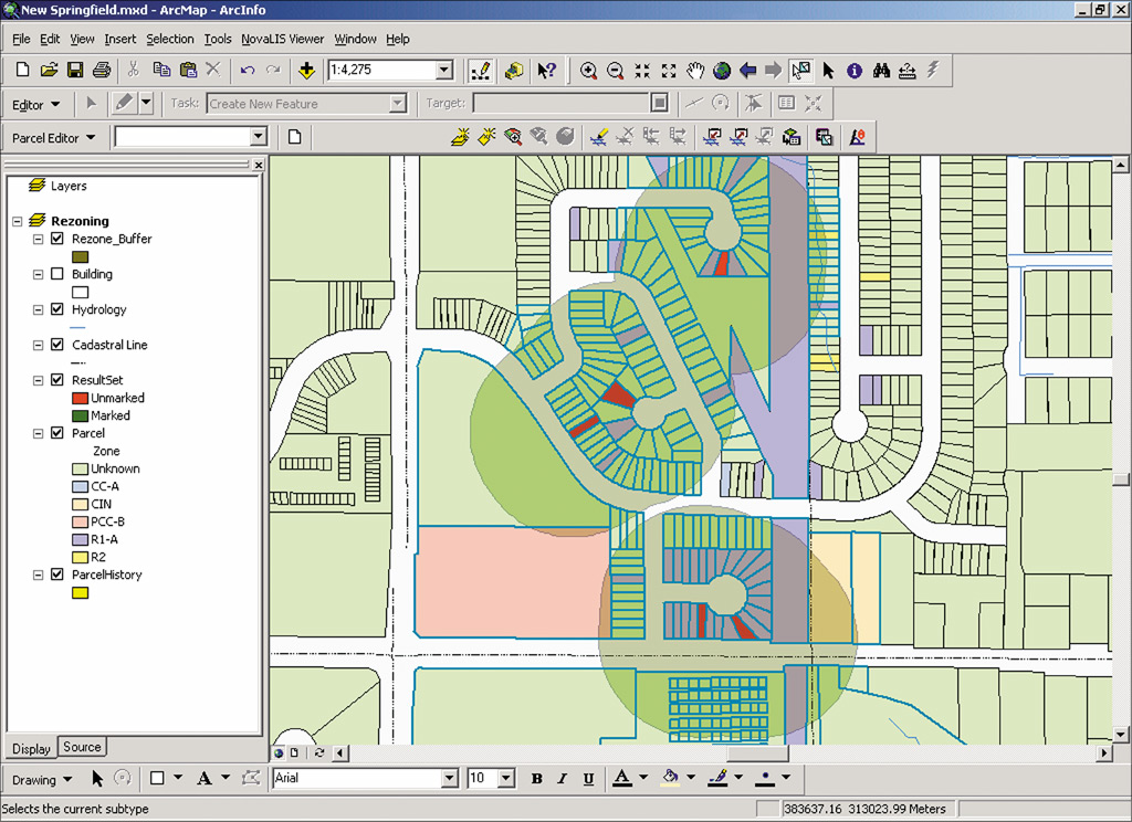
In 1999, the city of Oshawa, Ontario, Canada, decided that it was time to revamp its GIS and land-related information systems. The plan was to replace the existing land records systems with one integrated system that could share all land-related information across the city's departments. The new system would enable the city to provide better services to its residents, Businesses, and visitors as well as take care of the Y2K compliance issues of the current system. "For us, it was key that the new system be easy to use and give everyone involved in processing applications access to the information they needed to do their job on their desktop," says Sheila Glanfield, Business analyst for the city of Oshawa. "Our existing database-operating on a VAX system-was difficult to operate and inaccessible to most of our staff. We wanted the new system to be accessible to our entire mapping staff as well as other staff members who would benefit from access to property information." Oshawa, located 30 miles east of downtown Toronto on the shore of Lake Ontario, has a population of approximately 142,000 people. It is the dominant population and economic center of its provincial region. The French first settled Oshawa as a trading post in 1750. The settlement progressed to the status of a village in 1850, a town in 1879, and finally to a corporate city in 1924. The city of Oshawa sought a solution that would utilize the latest technology to integrate all the city's Business processes. The goal was to update data only once instead of having duplicate tasks performed by different departments. "We were using customized ArcInfo and ArcView since 1991, both for editing graphical layers and as a map-enabled land information system," says Glanfield. "We wanted complete integration with them. For the upgrade, we were looking for a product that could expand the land information system to include land processes such as permits, site plans, and complaints." The city of Oshawa had the opportunity to see the Esri Canada Business Partner NovaLIS Technologies' integrated land records management solution Local Government Office (now Land Development Office) software at an Esri user group meeting in 1998. "We reviewed a few products offering similar functionality," adds Glanfield. "The NovaLIS software had the map viewer features that we wanted as well as a data model, designed with Esri's help, that would be civic address based and able to support many addresses." As a result of these requirements, Oshawa chose to implement NovaLIS Technologies' Land Development Office, Assessment Office, Parcel Editor, and GATE solutions. Combined with ArcInfo and ArcView software, the products enabled the city to completely integrate its land records information and place mapping information on anyone's desktop. The project began in August 1999. Its huge scope involved merging five separate systems, a land information database, development tracking applications, and GIS into one integrated system. The new system would be tailored to meet the specific Business requirements of the city and rolled out in stages. In August 2000, the new integrated system went live. "Our new system has enabled us to streamline Business processes within the city," says Nancy Kemp, Business analyst for the city of Oshawa. Instead of accessing eight different data sources to gather information to determine if a property was in compliance with the city's zoning regulations, inspectors can now access all spatial and attribute information about a particular property in one location. This is saving the city time and money but more importantly improving customer service. "We reengineered our Business processes so that information only needs to be entered once, then can be used by all of the other departments that need the information," adds Kemp. "We can also track and evaluate their efficiency to monitor and improve our Business processes." The city trained more than 100 staff on the new integrated system, and it was successfully rolled out to many employees who had never been exposed to GIS. The integrated system's built-in work flow has enabled the city to completely automate the work flow involved in processes such as application review, approval, inspection, and map updates. Through the system, the most up-to-date map information is immediately available for viewing and analysis, along with reference information such as hazardous and environmental conditions. Built-in quality control measures ensure that all requirements are met and that tasks are carried out in the correct order. Work continues on the Oshawa land information system. To date, four map-enabled viewers and modules have been developed for the following processes: municipal and assessed views of properties, building permits, bylaw complaints, site plan and agreement tracking, accessory apartment registration, search of records (zoning compliance requests), sign variances, and temporary sign permits. The system enables some custom reporting and an ArcView software-based "notification wizard" to perform activities such as identifying geographic boundaries and producing notices for public meetings. Once departmental review has been completed, other planning processes, such as subdivisions, minor variances, and official plan amendments, will be incorporated into the Oshawa land information system. "We have achieved complete integration of GIS with our other land information as well as implementing a system that can now be accessible from anyone's desktop," says Glanfield. "We feel like GIS is now part of our core Business processes and not just an interesting technology used by a select few. We take great pride in the success we have achieved." For more information, contact Sheila Glanfield, city of Oshawa (tel.: 905-436-5676, e-mail: SGlanfield@city.oshawa.on.ca); Nancy Kemp, city of Oshawa (tel.: 905-436-5675, e-mail: NKemp@city.oshawa.on.ca); or Gary Waters, president, NovaLIS Technologies (tel.: 866-353-1800, e-mail: gwaters@novalistech.com, Web: www.novalistech.com). |