|
| |

Additional data sets now available with BusinessMAP. |
BusinessMAP 3.5, the latest version of Esri's affordable and easy-to-use database mapping solution for business, is now shipping. Designed for sales and marketing professionals, BusinessMAP transforms information from databases, contact managers, spreadsheets, and electronic phone books into color-filled maps useful for making better business decisions.
Enhancements in BusinessMAP 3.5 include
- Report generator—Easily create reports in Microsoft Office applications with predefined templates and customize or create new templates for common reports with maps, demographics, charts, and more.
- GPS connection—Connect a GPS receiver to show and track current location on a map with second-by-second updates.
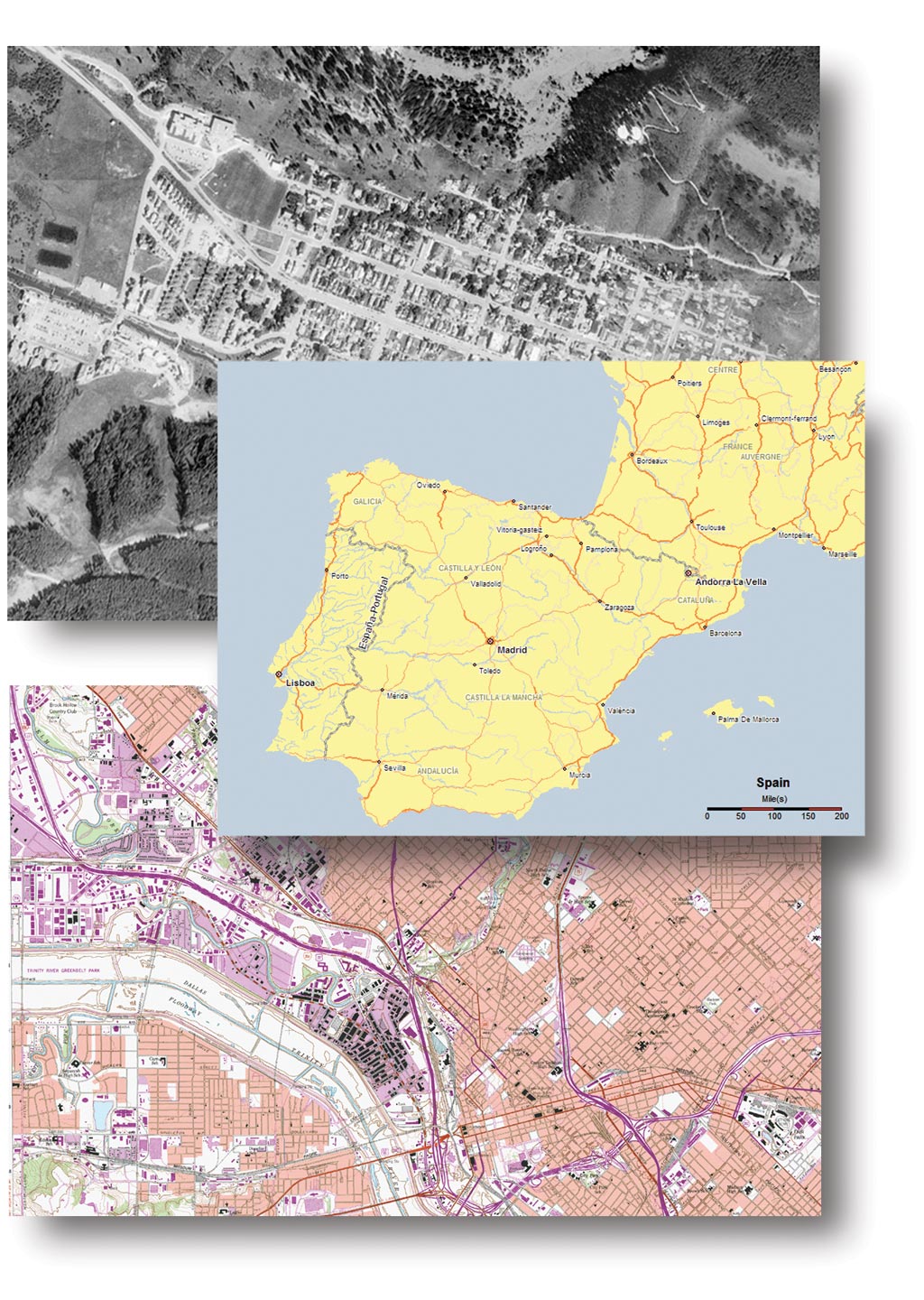
- Image map layers—Use BusinessMAP 3.5 to read georeferenced raster data such as aerial photos that can be displayed separately or combined with vector data (streets, city limits, etc.).
- Elevation map layers—Access the included shaded, color relief maps depicting the elevation of each state and the entire United States.
- Large-scale printer output—Print large-scale C, D, and E size plots for wall charts (sales territories, demographics, etc.).
- Option to copy legend—Copy the legend with or without map to the clipboard to paste with the map in other applications or reports.
- Updated links—Link to the latest versions of ACT! and GoldMine contact management software for plotting the database, group, or current contacts.
- Video demonstrations—Included video tutorials help users to easily understand the various tools and quickly produce insightful maps and reports.
In addition, BusinessMAP 3.5 includes all new, commonly used geographic, demographic, and business data. The updated national data includes
- Geography for states, counties, ZIP Codes, census tracts, and more.
- Geographic Data Technology, Inc., Dynamap/Transportation enhanced street maps for more than 35,000 U.S. towns.
- More than 500 U.S. census demographic variables down to census tract level geography.
- Consumer expenditure data at state and county levels from Esri Business Information Solutions (Esri BIS).
- Sixteen million business listings from Dun & Bradstreet for the entire United States.
- Additional data sets—Obtain optional maps for Europe and Canada, as well as United States topographical maps, orthophotos/aerial photos, and digital elevation city maps available at an additional cost.
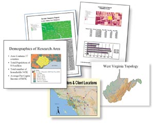
Generate reports in familiar Microsoft applications. |
|
BusinessMAP plots database points on maps and allows users to perform color-code analysis and geographic searches. BusinessMAP reads data in many formats including Access, ACT!, dBASE, Excel, GoldMine, and Microsoft Outlook.
BusinessMAP 3.5 is currently available for Windows 95 (SP2)/98/2000, Windows NT 4.0, or Windows XP. For more information, visit Esri at www.esri.com/businessmap, call Esri directly at 1-800-970-0033, or contact your local reseller.
|