|
ArcIMS 9 Route Server is the latest version of Esri's routing extension to ArcIMS and is available with multiple commercial data sets. With this new version, users have a wider selection of data and can perform routing throughout North America and Europe.
| |

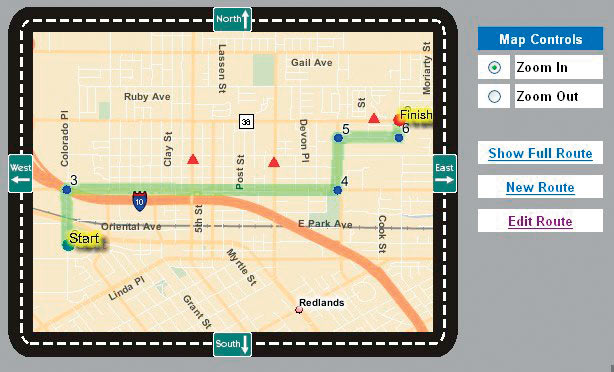
ArcIMS 9 Route Server can now take dynamic barriers into account when generating routes. |
ArcIMS 9 Route Server offers the ability to incorporate point-to-point driving directions and fast, accurate routing into Web sites built with ArcIMS. It calculates optimal routes based on time and distance and accommodates multiple stops along a route. ArcIMS 9 Route Server also allows users to geocode and reverse geocode against the same highly compressed, optimized national data set.
Highlights of the new version include
- New Data—ArcIMS 9 Route Server can use commercial data sets from DMTI Spatial, NAVTEQ, and Tele Atlas/TomTom (GDT) that have been optimized to perform routing and geocoding within the ArcIMS Route Server extension. Data is currently available from these vendors covering North America and Europe. It is also now possible to introduce additional data sets for use with ArcIMS 9 Route Server. Upon request, Esri will work with data vendors in other countries to optimize their data for use with ArcIMS 9 Route Server.
- .NET Support—Developers can build their own custom solutions with .NET in addition to Active Server Pages (ASP); ArcXML, which is a GIS extension to standard Extensible Markup Language (XML); ColdFusion; Java; or JavaServer Pages (JSP).
- Dynamic Barriers—Users can now set up their Web sites to allow interactive hosting of barriers or a live data feed (such as traffic incidents in an ArcSDE layer). ArcIMS 9 Route Server can then generate routes that take these barriers into account.
- Optimized Routing—This feature allows the order in which the stops are traversed to be optimized. It uses "as-the-crow-flies" distances to calculate the optimal stop order.
- Reverse Intersection—Users find the intersection that is closest to a selected location.
- New Platform Support—ArcIMS 9 Route Server is now supported on Sun Microsystems' Solaris operating system.
To learn more about ArcIMS Route Server, visit www.esri.com/routeserver, call Esri directly at 1-800-447-9778, call your Esri regional office, or contact your local Esri reseller. Outside the United States, contact your local Esri distributor.
|