Winter 2004/2005
Winter 2004/2005 |
|||||||
|
|
|||||||
Bringing Together Geography, Environmental Concerns, the Outdoors, and Science
Rhode Island Girl Scouts Embark on a GIS Adventure |
|||
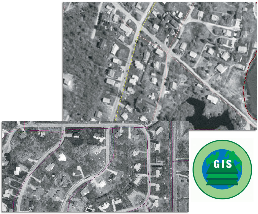
Girl Scouts of America was founded in 1912 with the purpose to help girls everywhere build character and gain skills for success in the real world. Since that time, the organization has molded itself to the needs and requirements of the changing world. With its purpose of inspiring girls and instilling strong values, leadership abilities, social conscience, and insight about their self-worth, it is inevitable that teaching technology has become an important part of the Girl Scouts' goals. "This is especially important in a time when technology is an intrinsic part of society, yet there continues to be fewer women in technology-based fields than men," says Peter August, professor of natural resource science at the University of Rhode Island. "To combat this problem, it is important to teach girls the value of technology at an early age." The sixth grade girls of Rhode Island Girl Scout Troop 207 and their troop leader, Lou Finan, stepped up to the technology challenge by integrating GIS and GPS with a skill that has long been essential for Girl Scouts--orienteering with a map and compass. In February 2004, the troop, located in Matunuck Beach, Rhode Island, sharpened their technological abilities and added to their portfolio of outdoor skills. They turned to August, whose daughter is a member of the troop, to learn about the technologies. "As a Girl Scout leader, I naturally am aware of the unique challenges girls are facing today, not only socially but also academically, as they prepare for their futures," says Finan. "I learned about Girl Scouts and the Ad Council's Girls Go Tech campaign and initiatives that point out the fact that girls are shying away from careers in science, math, and technology even though careers in these areas are the fastest growing and most highly paid. I believe girls would aspire to science and technology if social pressures were not in their way. My role is to open the doors and lower those unnecessary thresholds. As we were thinking of how to make science and technology one of our troop's themes for the year, Peter August brought up the idea of a GIS badge, which is a concept combining traditional outdoor Girl Scout activities with science and technology. Since there was no such thing as a GIS badge at that time, we decided to create our own." The girls eagerly embarked on their mapping journey at the Girl Scouts of Rhode Island Camp Hoffman led by August. Before they could experiment with the technology hands-on, August demonstrated the basics of GIS by displaying a digital map of the camp in ArcView with a digital orthophoto with a variety of data, including roads, schools, libraries, and lakes and ponds in the community. August displayed the zoom and pan tools by zeroing in on areas the girls could easily identify and asked them questions about that specific locale. They also identified areas in the camp where they held activities, such as campouts, parades, day trips, and instructional programs. The exercise not only demonstrated how GIS allows users to zoom and pan with a map but also the software's ability to overlay themes and view different data to help get oriented with the map. After their beginners' GIS exercise, it was time for the troop to apply the technology in a real-world situation. The girls hit the field with a GPS receiver and recorded the geographic coordinates of locations in the camp where they noted certain vegetation characteristics. After the fieldwork was complete, they returned to the camp lodge and saw how the coordinates they measured with GPS were in the precise locations on an orthophoto of the area. August says, "This got them used to seeing GIS work and helped them understand the relationship between things in nature and things in the database." The second part of the day turned the girls into cartographers as they made maps of their own. August took the troop to the University of Rhode Island's teaching lab where 15 computers were set up with ArcView and data for the camp and the community. Alyson McCann, an Esri authorized trainer and GIS instructor for the University of Rhode Island's Water Quality Cooperative Extension Program, assisted in instructing the girls in how to make maps of their favorite areas in town. "The girls of Troop 207 are natural mappers," says Finan. "They immediately grasped the concept of GIS and created some exceptional maps of the neighborhoods around their homes." This time, the girls used ArcView software's zoom and pan tools on their own and experimented with turning different layers on and off. Once the girls were comfortable maneuvering around the map, McCann and August took them through the process of constructing their own GIS projects. They integrated vector data and orthophotography and used data sets August prepared for them, which included familiar information, such as the location of their schools, libraries, streets, and popular lakes. August and McCann helped the girls put text labels on their maps and led them through the process of drawing primitive graphics. "When the day began at one o'clock in the afternoon, these kids had little experience with a computer and didn't know what GIS was," says August. "By three o'clock they had made maps of their homes and other areas they were familiar with. They loved working with the software and the computers." The successes of the day went beyond the personal enrichment each of the girls experienced. Their work led to the creation of the first GIS badge in the state of Rhode Island (see above). "I understand that it had been seven years since a troop submitted a badge proposal to the Girl Scout Council of Rhode Island," says Finan. "Once I understood that this is not a common procedure, it seemed to be a breeze getting it approved. Perhaps we had no problem because the badge we proposed was so unique compared to other badges and it is highly compatible with Girl Scouts of America's science and technology initiatives." The girls of Troop 207 clearly demonstrated that given a small amount of instruction, GIS and GPS can be part of the scout's portfolio for technology and orienteering skills. The scouting system is a perfect place to introduce GIS and GPS technology to young girls who might not be otherwise exposed to its importance. The technology brings together the Girl Scouts' core themes of geography, the environment, outdoors, and science, which become more crucial as society develops under the influence of technology. For more information, contact Pete August (e-mail: pete@edc.uri.edu), Lou Finan (e-mail: looperfin@aol.com), or Alyson McCann (e-mail: alyson@uri.edu). |