Winter 2008/2009
Winter 2008/2009 |
|||||||
|
|
|||||||
DHL Express in Sweden Streamlines Goods Handling
Faster Deliveries with GIS |
|||||
Highlights
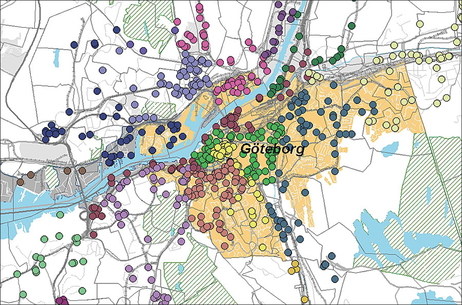
DHL Express is one of the world's largest shippers, with global coverage. It operates 32 terminals in Sweden, from Lule� in the north to Malm� in the south. Shipments move primarily by road. Each day, the company carries major quantities of goods and parcels to private individuals and businesses, and each year, the company handles about 30 million items with a fleet of about 1,500 vehicles. Efficient handling of each item is essential in providing the fastest possible pickups and deliveries.
Time-Demanding SortingIn 2001, the company analyzed terminal processes and subsequently discovered that the most time-consuming process was the sorting and loading of goods. During the early hours of the day at the terminals, drivers loaded their vehicles with the day's parcels. Although the preliminary sorting was already completed, the goods had to be further sorted and loaded in the right order, which took considerable time and delayed deliveries. Handling was the responsibility of individual drivers and depended on their skills and experience, which made the process vulnerable to problems when changes were made or when there were absences. DHL therefore sought a solution to simplify and speed up the process, as well as to ensure support systems for driver tasks. "The main problem was that it took such a long time to load the vehicles. The parcels were largely unsorted, and the drivers had to search for their packages, which were heaped in large stacks. The vehicles were spending too much time standing still and not enough time on the road. This was the situation when we began looking at the problem," says Peter Hesslin, head of operations for DHL Express in Sweden. The conclusion was that if the goods could be automatically sorted and packed based on the day's driving schedule, the drivers' morning routines could be sped up and the vehicles would be able to spend more time on the road. More Time for DistributionDHL Express became familiar with Esri's software through a consulting firm and decided to invest in a GIS solution. This investment has been successfully developed together with Esri S-GROUP Sverige AB, Esri's distributor in Sweden. Work began with a pilot project conducted at the terminal in the Dalarna region in central Sweden. The goals were to obtain experience and measure the actual time gained. With a map sheet used as a foundation, Dalarna was divided into a grid, with each address receiving a unique number. The goods arrived at the terminal at night. Each parcel was then scanned with a bar code scanner and assigned a serial number, which showed both the vehicle it was to be loaded into and the location of the vehicle. When the drivers arrived in the morning, they each received a list with their driving schedules, load orders, and the goods that had already undergone preliminary sorting. The drivers' knowledge of local conditions was put to use when the system was built. The pilot project in Dalarna constituted the basis for the DHL Express GIS solution as it is today.
The Esri S-GROUP tool developed for DHL Express is called Distribution Control. The core of Distribution Control is ArcGIS Server software, based on a SQL database. ArcGIS Server is used to assign geocodes and sequences for incoming items. The ArcGIS Server solution links the items to the map and the correct grid and assigns a delivery order. With this procedure, DHL Express minimizes the time drivers spend at the terminals to load their vehicles, freeing more time for driving and making deliveries. ArcGIS Server has become a necessity for DHL drivers to load their vehicles and depart from the terminals more quickly. The solution, which makes things easier and clearer for terminal workers, assigns a location for each received item prior to delivery. Terminal workers have wireless handheld devices that read data from Esri's solution. In addition to server technology, DHL uses various adapted desktop applications based on ArcEditor. Three different applications are currently used with specific tasks and focus. The ArcEditor licenses are used by what DHL calls its "superusers" for maintaining and updating geographic data. Road names, road numbers, and new delivery locations are typical information updated by a superuser. Right Goods at the Right PlaceAddress accuracy has proved to be very high for goods at the terminals. During the time DHL Express has used the GIS application at its terminals throughout Sweden, accuracy figures have been as high as 98 to 99 percent, which means that only a few parcels' addresses had to be looked up manually. Experience has shown that considerable work is required in the initial phase, when a district is being planned and the routes created. Once this work is done, however, a simple and surveyable system is established that DHL Express can modify and supplement. The system is now used throughout Sweden. DHL Express has calculated that 30 to 60 minutes per vehicle are saved each day with the system refinements. Dynamic Route PlanningDHL Express also has immediate plans to move its GIS solution to the next level: dynamic route planning. The company currently has a fixed arrangement and a static design for route planning. The goal for the future is to utilize dynamic route planning instead, which will be conducted daily and based on the data entered in the system from the previous day. "In general, one could put it in the following terms: By the evening, we already know what will be delivered the following day," says Hesslin. "This information can be used to plan routes in real time, which, technically speaking, isn't all that difficult. It's a matter of getting the right data to flow in the system. Actually, it should be entirely possible to put together the next day's deliveries as early as midnight." Looking in the Rearview Mirror to See ForwardThe future technical solution is a refinement of the solution that is already installed. The technology will still be server based but with new and extra functionality. In the refined solution, DHL Express will use ArcGIS Spatial Analyst software, a couple of different routing and clustering engines, and more functionality from the existing ArcGIS Server technology. By utilizing historical and operational data, DHL will be able to more efficiently make predictions and draw up plans based on these predictions. The future solution will be more dynamic for routing and vehicle structuring, for example. The goals are to reduce operating costs, increase quality for customers, and contribute to optimal environmental considerations. More InformationFor more information, contact Peter Hesslin, head of operations, DHL Express, Sweden (e-mail: p.hesslin@dhl.com), or Jenny Moche, business area manager, Esri S-GROUP Sverige AB (e-mail: jenny.moche@esri-sgroup.se). |