A Spatial Literacy Initiative in Higher Education
The University of Redlands Integrates Spatial Thinking and GIS Campus-Wide
Spatial thinking is an ability to visualize and interpret location, distance, direction, relationships, movement, and change through space. Spatial concepts are fundamental within not only geography, math, and natural sciences but also the arts, humanities, and social sciences. As an approach to learning, however, spatial thinking is rarely an explicit inclusion.
For this reason, the University of Redlands, Redlands, California, has invested in a campus-wide initiative to use spatial thinking and geospatial tools to inform and support its curriculum, research, and operations. At the heart of these activities is an ambitious goal: to promote a spatially infused learning community within the university. This initiative harnesses the integrative power of geography and GIS to help people visualize knowledge, solve problems, and understand relationships through a spatial lens.
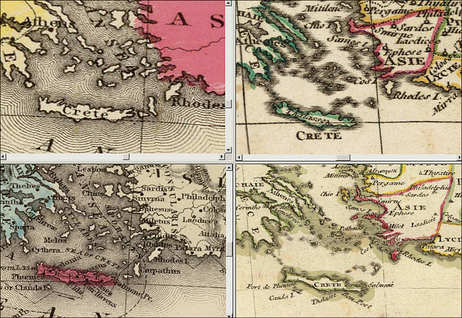
A U of R-built GIS tool for a religious studies class (based on David Rumsey's quad-map viewer for georeferenced historical maps).
GIS has had a presence on the U of R campus for many years, in multiple forms and for diverse audiences. The master of science degree in GIS (MS GIS), founded in 2001, is now hosting its eighteenth cohort of students. The Redlands Institute conducts grant-funded applied research involving GIS and spatial decision support. The School of Business offers a GIS emphasis in its MBA Program and has GIS-focused courses for its undergraduate students as well.
Over time, these campus activities generated new interest among other faculty to integrate spatial approaches in their own research and teaching. By focusing on the pedagogic objectives of critical thinking and problem-based learning, faculty from many departments and disciplines began to appreciate the value of spatial thinking, often, but not always, realized through GIS.
To coordinate this cross-campus effort, in 2007 the university created a new academic position for a director of spatial curriculum and research and launched an initiative called LENS: LEarNing Spatially.
LENS creates opportunities for faculty and students to use maps, mapping, and spatial perspectives in their teaching and research. Complementing and building on the university's GIS expertise, LENS supports faculty development, student internships, workshops, collaborative research, and new partnerships. These activities are designed to accommodate diverse faculty and student interests at different levels of skill and comfort. As a result, the use of GIS and spatial tools on campus is emerging and evolving organically at multiple scales and intensities.
For example, faculty in the business school are using Esri's Business Analyst and ArcGIS Desktop to research transportation and logistics networks and analyze patterns in global competitiveness while modeling for their students the value of spatial thinking in the business world. Faculty in the College of Arts and Sciences are using spatial approaches in an impressive array of projects, including calculating lines of sight from hundreds of Native American archaeological sites via ArcGIS Server and displaying series of biogeographic datasets with ArcGIS Explorer as students consider vegetation patterns along elevation gradients.
Introducing students to the notion of spatial inquiry becomes a "pre-GIS" skill that the university cultivates. It also acknowledges the essential need for adequate support staff and technology to give faculty the time and resources to learn and explore. The university was fortunate to receive a grant from the W. M. Keck Foundation that provides curricular and technical support to develop new mapping ideas and GIS tools that enrich student learning.
Perhaps the greatest benefit is that this spatial initiative is fostering interdisciplinary collaboration and building a sense of community across the campus and beyond. MS GIS students are partnering with faculty and technical staff to build cutting-edge applications. Administrators are using concept mapping tools to generate visualizations of proposals and agendas to share their ideas with faculty more effectively. The School of Education is partnering with the local school district to integrate maps and mapping into its secondary school curricula.
The University of Redlands is committed to creating a spatially infused learning community. In a world where data-rich visualizations, location-based services, and geospatial tools are the norm, the university believes that spatial literacy is a significant and marketable asset for its faculty, students, and staff. While this initiative is still evolving, the university is finding its path for integrating spatial thinking and GIS throughout the curriculum and the institution.
For more information, contact Dr. Diana Stuart Sinton, director, Spatial Curriculum and Research, University of Redlands (e-mail: Diana_Sinton@redlands.edu, Web: spatial.redlands.edu).