ArcUser Online
Spring 2011 Edition
More Ways to Organize Information
This article as a PDF.
ArcGIS 10 introduces a new, flexible way to manage additional information related to features on a map. Attachments can store multiple supporting files, such as images, PDFs, or text documents, in a geodatabase and make them accessible through map features.
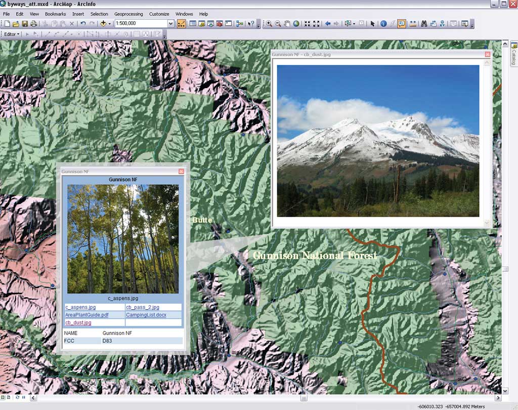
View several files with HTML pop-ups.
Attachments can be viewed in several ways: from the Identify window, in the attribute table window, and as HTML pop-ups as well as in the Attributes window while creating and editing an attachment.
Because the link from the feature to its attachments is maintained in a relationship class, an ArcEditor or ArcInfo license is needed to create attachments. However, any license level can view attachments.
Creating attachments is straightforward; ArcGIS handles the details. The first step is enabling attachments for a feature class. This prompts ArcGIS to create a new table to contain the attachments and a new relationship class to manage them.
- In the Catalog window or in ArcCatalog, right-click the desired feature class and choose Attachments > Create Attachments. This enables attachments for that feature class.
- To add attachments, start an edit session in ArcMap. The Attachment Manager will be used to add attachments. It can be accessed either through the Attributes button on the Editor toolbar or through the table window by right-clicking the gray cell to the left of the record that will receive the attachments and choosing Open Attachments Manager.
- Once in the Attachment Manager, click the Add button, browse to the file to be attached, and click Add. Repeat the process for any additional images, text documents, or PDFs that will be associated with this feature.
- After adding the attachment, open it by double-clicking it or by clicking Open. The attachment opens with the file's default Windows application. If no default has been selected for that file type, a prompt appears to allow an application to be selected.
- Files made available in a map as attachments can be saved by clicking Save As in the Attachment Manager window.
HTML pop-ups are a useful way to view multiple attachments for a feature at the same time. They work not only in ArcGIS Desktop but also in web applications, ArcGIS Explorer, or ArcReader.
Attachments offer an easier way to link several files with a feature. Because the location of the files is managed by the geodatabase, if the geodatabase is shared through a layer or map package, the attachments are automatically included.