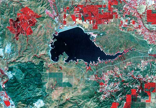
July - September 2002
July - September 2002 |
||||||||
|
|
||||||||
Platform ConsiderationsOnce the goals, objectives, key options, and considerations have been addressed, selecting the acquisition platform and specific data offer is relatively straightforward. With regard to acquisition platforms, in general satellites have the advantage of being able to acquire current data on a worldwide basis, limited only by potential cloud cover, priority of sensor availability, processing time, and minimum purchase requirements. Aerial imagery is typically lower in cost and less frequently updated. For many cities, low-cost data of high quality is often available "off the shelf," particularly in the United States and Europe. However satellite archival imagery, perhaps at lower resolution, may be readily available for virtually the entire planet. Currency and UpdateIs current imagery required? If not, archived images may be available for the area of interest. Older imagery can often be provided at substantially lower cost as compared with requested current or future (i.e., advance order) collection. Fortunately most of the newer satellites have onboard storage capabilities so images can be collected almost anywhere on earth and transmitted to the next appropriate ground station.
Commercial satellite revisit time for any specific location on earth ranges from three days to every other week. Aerial imagery may be collected either on a contract or custom basis or may be available from annual "speculation" flights by aerial companies covering major urban areas and, selectively, entire counties in some regions of the United States. Some applications that perform change detection for land use, land cover, environmental analysis and meaningful forecasts for planning purposes require co-registered imagery from different dates. Horizontal Accuracy and OrthoimageryImagery without an accurate ground basis is just a pretty picture. Consequently, horizontal accuracy specification is another key parameter of imagery. Whether the resolution is five meters or one foot, the offset of each pixel to "real ground truth" may be critical to a GIS, CAD, or remote-sensing project. The United States Geological Survey (USGS) has published quadrangle maps for the entire country with a specification of horizontal accuracy. The accuracy standard states that any location on the map will be within x meters of the true geographic position 90 percent of the time (i.e., x meters with circular error 90 percent). Similarly horizontal accuracy for satellite and aerial imagery is often specified. For example, horizontal accuracy rating of "10 feet CE90" means 90 percent of the pixels, selected on a random basis, will fall within 10 feet of the real earth position. The user must understand that when most imagery is collected, it reflects only the horizontal distribution of pixels based on the camera or sensor optics and other aspects of the imagery collection system. Before post processing, imagery may be distorted relative to ground truth. Essentially, there are two ways to correct this distortion--"rubber sheeting" and true rectification or orthorectification. The rubber sheeting process produces a roughly geopositioned image by stretching or shrinking the image to match control points on a known raster source such as a USGS digital quad or an accurate vector file. The resulting image will lack uniform horizontal accuracy across the image and is not geometrically precise.
Typically, orthorectification processes correct for terrain or elevation distortion and properly project the horizontal pixels into the correct relative locations. In order to properly represent this redistribution of pixels relative to the earth's "true" geometry, a standard projection is used. Although latitude/longitude (i.e., geographic coordinates) can be used to represent any place on earth, specific coordinate systems are more useful for particular mapping applications. The coordinate system used typically relates to the size of the area being considered. To represent a relatively small area such as the City of San Diego or San Diego County in California, the appropriate State Plane Coordinate System (California State Plane, Zone 6) might be used. Perhaps the best known global-level coordinate system is Universal Transverse Mercator Projection (UTM). It divides the earth into 60 zones of six degrees each and uses a numbering system that designates northern or southern hemisphere for each zone. Data Compatibility and IntegrationA serious consideration for any project is data compatibility. Using current GIS and remote sensing processing software, it is relatively easy to import combinations of vector, raster, and point data and any associated attribute data. The tough part is combining datasets with dissimilar projections, pixel resolutions, and ground levels of accuracy. One of the many challenges GIS and remote sensing specialists face is to minimize or mitigate the impact of data incompatibility by thoughtfully considering these issues and developing appropriate data management strategies. Careful selection of the basemap reference layer, data projection, image accuracy, and radiometric precision are critical elements for a successful imagery project. Continued on page 3 |