ArcUser
Fall 2011 Edition
Coming Together to Create Understanding
This article as a PDF.
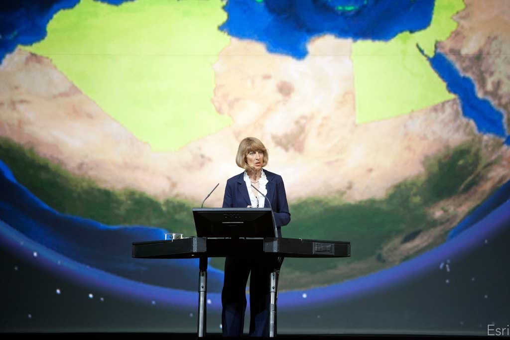
EEA executive director Jacqueline McGlade explained how the agency uses GIS to monitor environmental data quality.
On July 11, 2011, more than 14,000 people from 126 countries, who use GIS to address the world's problems, gathered in San Diego for the Esri International User Conference.
As he has since 1981, Esri president Jack Dangermond welcomed attendees at the start of the Plenary Session. "I meet with hundreds of GIS professionals over the course of the year and am continually amazed at the creativity they display in using GIS to solve complex problems and support critical decisions. The User Conference is like magnifying this 100 times and condensing it all into one short week."
That short week was crammed with opportunities to learn about new developments in technology at workshops and demonstrations and the work of GIS professionals around the world through hundreds of paper presentations. Throughout the week—between presentations, over lunch and dinner, and at social events—thousands of users met and shared experiences and expertise.
The theme for this year's conference, GIS—Understanding Our World, was built on an observation by last year's keynote speaker, Richard Saul Wurman, who noted that "understanding precedes action." GIS provides a locational context that allows a deeper understanding of many problems by bringing to light relationships and dependencies so that practical action can be taken.
It is coevolving along with other information technologies to deal with the ever-increasing quantities of data from sources such as sensor networks, crowdsourcing, models, and the digitization of historic records. It provides a systematic framework for gaining a collective understanding of the complex and interdependent nature of the world. New patterns for sharing the information gleaned from this glut of data use web apps and lightweight viewers to make this information widely available.
This new GIS pattern is exemplified by the work of the European Environment Agency (EEA). In her conference keynote address, One Degree Matters, EEA executive director Jacqueline McGlade described how the agency uses GIS to meet the challenge of monitoring the quality of data about the condition of the environment of states in the European Union. EEA transforms terabytes of data into information that guides policy makers in these countries. In addition, online content from ArcGIS feeds more than 80 maps and apps that enable integration of authoritative, citizen scientist, and crowdsourced data that can be contributed and shared in 32 languages.
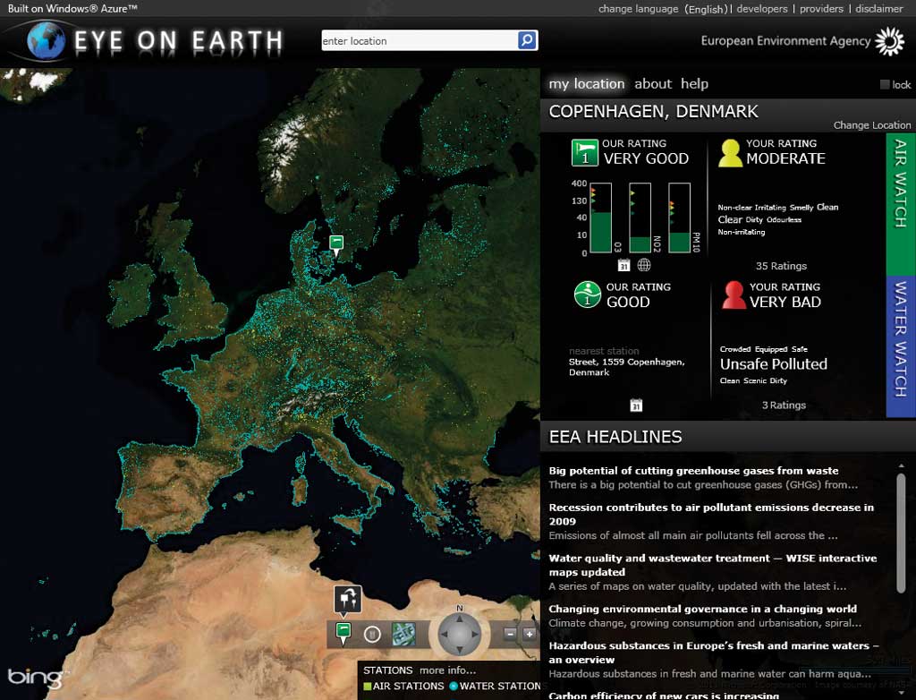
Eye on Earth, EEA app, uses crowdsourcing to validate readings from monitoring stations.
Eye on Earth, one of the apps available from the EEA website, is a platform for two-way communication. It uses crowdsourcing to validate readings from monitoring stations on the quality of air and swimming sites. Over the next five years, feedback from ordinary citizens will be used to improve the quality of biodiversity, coastal erosion, and other types of environmental data using this app.
During the Plenary Session, Dangermond provided an overview of the outstanding work being done by users as hundreds of maps, representing almost every imaginable discipline, were projected on the screen behind him. Later in the week, 140 organizations were recognized with Special Achievement in GIS (SAG) Awards for their exceptional and innovative work with GIS.
Dangermond also presented special awards to specific organizations and individuals at the Plenary Session. The President's Award was given to the Federal Service of State Registration Cadastre and Mapping of Russia for building a national cadastral system for the entire country. There were two recipients of the Making a Difference Award: professor Haruo Hayashi of the Research Center for Disaster Reduction Systems, Kyoto, and Geneva International Centre for Humanitarian Demining (GICHD). Hayashi was honored for his work with a team of students who provided maps of the area surrounding the location of Japan's 2011 Töhoku earthquake, the ensuing tsunami, and subsequent fallout disasters. The award to GICHD, accepted by director Daniel Ericksson, was made in recognition of the integration of GIS in the Information Management System for Mine Action (IMSMA), which supports demining, explosive ordnance disposal, and disarmament.
In addition to recognizing the work of users, each year, the Esri UC provides an opportunity for Esri to share its vision for software development in both the short and long term. ArcGIS Online continues to mature as a platform that makes GIS available to anyone, anywhere—on a desktop, browser, smartphone, or tablet—and provides access to a growing collection of more than 100,000 maps and apps. Esri's new GIS cloud service, Community Analyst, allows users to perform analysis with more than 6,000 variables without requiring any local software installation.
Among many important enhancements, the next release of ArcGIS will continue supplying tools and enabling workflows that simplify work with imagery. ArcGIS 10.1 makes lidar data in LAS format more accessible with quick viewing, update and analysis, classification, data management, and sharing capabilities.
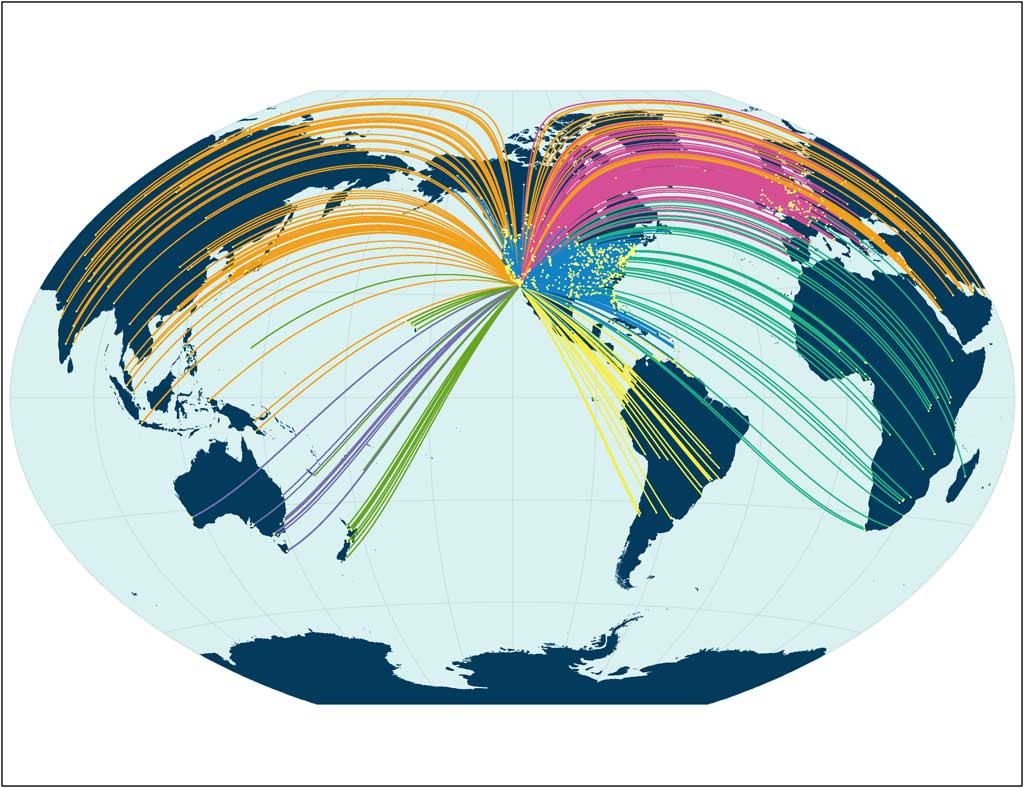
More than 14,000 people from 126 countries traveled to San Diego, California, for the 2011 Esri UC.
The introduction of the ArcGIS Runtime at 10.1 was one of the most dramatic conference announcements. The software development kits (SDKs) are used for building custom native 64-bit solutions for ArcGIS for Windows Mobile, iOS, Android, Windows, and Linux. These applications have a small footprint, deliver high performance, and are easy to deploy.
The acquisition of the Swiss company Procedural and its flagship product CityEngine was also revealed at this year's conference. "Many GIS problems can only be solved in 3D, particularly in the area of urban development," said Dangermond. "Procedural's unique capabilities for generating high-quality 3D data, using the same GIS data our users already have, makes them a perfect match for Esri."
Urban planners, architects, video game developers, and movie studios around the world use CityEngine to create stunning 3D urban environments from typical 2D data. With the acquisition of Procedural, 3D content visualization will become part of GIS—not a separate technology—simplifying the process of visualizing, understanding, and designing urban environments. Procedural's offices in Zurich will be a leading-edge R&D center for urban design and 3D content creation.
As its capabilities have evolved to handle ever-increasing amounts of data about our world, transform it to information, and make it more comprehensible through 3D visualization, GIS is becoming a new language for understanding and responding to these problems.
With enhanced visualization capabilities and the shift to web services used with lightweight viewers, GIS is more accessible to more people, and the goal of making GIS for everyone is closer to reality than ever before. The growing GIS community is creating a better world by addressing problems on scales from the global to personal using a science-based GIS approach.
Be part of the world's largest GIS conference. Save the date for the 2012 Esri International User Conference in San Diego, California, July 23–27.