Mapping a Better Future for Elephants
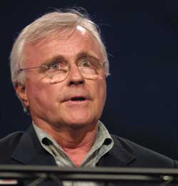 |
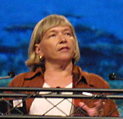
| Amboseli cofounders Cynthia Moss (above) and Dr. Harvey Croze gave the keynote address. |
Just 20 years ago elephants were considered good for only one thing-ivory. The work of Cynthia Moss, a natural historian who has spent three decades studying the ecology and social behavior of wild African elephants, has changed that perception and helped the public better appreciate these majestic animals.
In an address made at the plenary session of the 22nd Annual Esri International User Conference, Moss and Dr. Harvey Croze, cofounders of the Amboseli Elephant Research Project (AERP), described how GIS has enhanced their research efforts.
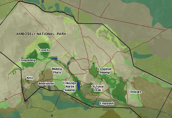
Founded in 1972, AERP is the longest running study of elephants in the world. AERP collects, analyzes, and disseminates data about one of the last largely undisturbed elephant populations located in the Amboseli National Park in Kenya. The park covers 151 square miles (392 square kilometers) and is located northwest of Mount Kilimanjaro, near the border with Tanzania.
Moss's intimate knowledge of each of Amboseli's more than 1,100 elephants and her extensive monitoring of group behavior has given her remarkable insights into elephant social structure. Some of these findings were reported in a journal article coauthored by Moss that appeared in the April 2001 issue of Science.
Her work has produced extensive datasets and she is now using GIS to synthesize these observations. In his address at the plenary session, Croze spoke of the evolution of the project's data management and analysis methods from paper maps and hand-recorded data to the GIS and satellite imagery that are now used to analyze spatial and temporal changes in the Amboseli ecosystem.
Although AERP began collecting data long before computers and GIS were commonplace, Croze encouraged data collection that contained spatial information. By using a grid to divide up the study area the spatial relationship between observations was preserved in the data. These observations were eventually incorporated into a database that has passed through several reiterations. It now resides in a Microsoft Access database that contains records that begin on September 1, 1972, and go to the present day.
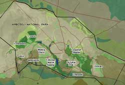 |
| Amboseli researchers use ArcView to understand elephant behavior. |
Croze had experience using ArcView for research projects associated with a position he held as director of the United Nations Environment Programme/Global Resources Information Database. He knew AERP could benefit from GIS. Esri provided software and technical support. DigitalGlobe supplied QuickBird imagery and Trimble donated GPS units. GIS has given Moss and Croze a new way to look at the data they have amassed and discover patterns that can help them understand elephant behavior and human/elephant interactions. Because elephant outlines (called elephant footprints) are visible in QuickBird imagery, they now have a method of monitoring elephant movements in a manner that is not disruptive to these animals. Currently, they are exploring methods of automating the search for elephant footprints on images.
African Elephant Trust, set up two years ago, provides secure funding that will enable research to continue at AERP as well as support projects in other parts of Africa that share AERP's philosophy and methodology. Contributions to the fund can be sent to African Elephant Trust, 65 Valley Stream Parkway, Malvern, Pennsylvania 19355, or can be made online at www.elephanttrust.org.
|