ArcUser Online
Mapping a Better Future
Describing, Understanding, and Acting
This article as a PDF.
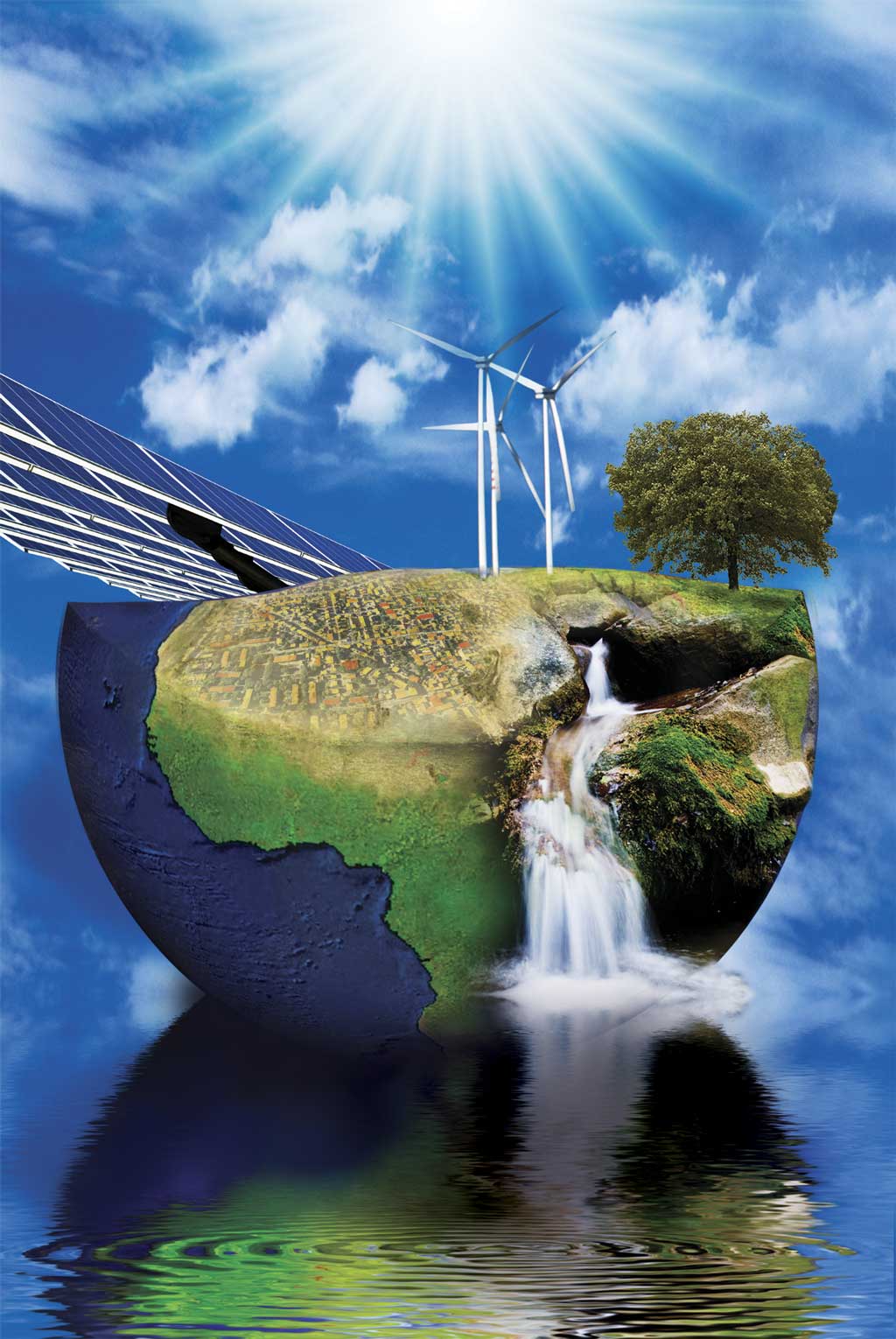
Sustainability is all about making better decisions to arrive at a better planet. Making renewable energy a more viable choice is one way GIS is contributing to sustainability.
What is renewable energy? Most energy production relies on fossil fuels: coal, oil, and natural gas. These are finite resources that, over time, become more scarce, more expensive to obtain, or more environmentally costly to extract. In contrast, wind, solar, hydroelectric, geothermal, tidal, and biomass energy are sources that can be replenished.
Renewable energy sources vary greatly from location to location in their cost-effectiveness, availability, and impact on the environment. For example, effectively siting wind turbines requires not only evaluating complex terrain to identify areas with winds of sufficient speed and consistency but also specific locations where turbines will not adversely affect residents or sensitive habitat, make excessive noise, or be too distant from areas of energy demand. The spatial relationship of the many interdependent factors needed for the successful utilization of renewable energy sources mandates the use of GIS. It is the crucial technology for answering questions such as
- Where are the best sites for generating energy?
- Which areas should be excluded from consideration?
- Where are the centers of energydemand?
The work of the National Renewable Energy Laboratory (NREL), the primary laboratory for renewable energy and energy efficiency research and development in the United States, furthers the adoption of renewable energy sources such as solar; hydrogen and fuel cells; biomass; geothermal; and, particularly, wind. Pursuant to the goal of meeting 20 percent of the United States' energy needs through wind energy generation by 2030, NREL updated wind resource maps using ArcGIS Desktop. The NREL staff created wind resource models that estimated the wind potential at 200 meters for many areas in the United States. The maps produced showed the most favorable locations for wind farms based not only on quality and availability of wind resources but also on transmission costs and the layout of the electrical grid.
While this research can enable more widespread commercial development of wind energy, renewable energy sources are amenable to implementation at much smaller scales than energy produced from fossil fuels. GIS has been applied to assess the energy potential of areas as small as individual rooftops.
The LA Solar Portal (lacounty.solarmap.org) is a Web site that lets the 10.5 million residents and business owners in Los Angeles, California, quickly and accurately estimate the potential energy generation for solar photovoltaic systems on individual buildings. Launched in 2009, this ambitious project mapped more than 3,000 square miles and incorporated the effects of shade from nearby trees, buildings, and mountains as well as using the pitch and slope of the roof to estimate the amount of incoming sunlight every five feet.
An article in this issue, "Locating Sites for Photovoltaic Solar Panels," describes a pilot study conducted in the area around the University of Arizona, Tucson, that used ModelBuilder to automate the process of identifying sites with desirable characteristics and eliminating unsuitable locations.
The Renewable Energy Atlas of Vermont makes extensive use of GIS to enable and encourage the use of renewable sources for commercial and private energy generation. Potential and existing sources for energy generation from wind, solar, hydro, geothermal, and biomass can be assessed by county or town, by a user-defined area, or using the current map extent displayed. To learn more about the creation and use of this site, see "Is Renewable Doable?: Atlas shows energy opportunities at local level," an article in this issue.
For renewable sources to play a greater role in supplying energy, they must be integrated with the infrastructure used to deliver conventionally generated energy. Smart grid technology, a new approach to energy delivery, is composed of both electric and communication networks. It monitors the condition of the grid and interacts directly with end users.
Smart grids depend on GIS to support both the electric and communications networks. The role of GIS in the management of traditional distribution networks was expanded with the adoption of the smart grid. GIS not only inventories network components (as is the case with a traditional grid) but also manages data about the condition of utility assets, the relation of those assets to each other, and the relationship of the network to the surrounding area.
However, the development of strategies for managing loads more effectively is one aspect of GIS use in smart grid technology that directly relates to renewable energy. Enhanced analytics and metrics on distribution systems allow more intelligent load handling that facilitates the incorporation of wind, solar, and other energy sources that are not available constantly or at a constant rate.
Another key component required for widespread adoption of renewable energy resources is marketing. Since 2001, Cascade County, Montana, has carried out an aggressive program that has successfully promoted the development of wind energy in one of the windiest places in Montana. The county's GIS department created a wind map book that combined wind speed, transmission line locations, and parcel and road data to help developers evaluate the feasibility of locating turbines in the county. It also uses GIS to help developers research available sites. The program resulted in the construction of Horseshoe Bend Wind Park, the first commercial wind park in the United States. It began producing energy in 2006.
Whether analyzing potential, enabling better management, or promoting the use of renewable resources, GIS has a vital role in mapping a more sustainable future for the planet.
Richard Saul Wurman, in his Keynote Address at the 2010 Esri International User Conference, observed that "a map is a pattern made understandable." Maps create instant understanding because people relate the information presented in maps with other contextual knowledge. Wurman's speech focused on the need for understanding because "understanding precedes action."
The first 40 years of GIS technology development have been primarily about visualizing, measuring, and modeling the earth. The technology is now moving into a new phase—one of designing with geographic information that has been amassed, organized, modeled, visualized, and made available across Web, mobile, server, and desktop platforms.
As Esri president Jack Dangermond explained in an interview at the 2010 Gov 2.0 Summit, GIS has a pivotal role in meeting the challenges of our world. The methods and tools available through GIS enable various alternatives to be quickly sketched and their consequences evaluated so decision making can be guided by geographic information. "We'll design the future so it's sustainable—so that it integrates all the considerations we need."