October - December 2004
October - December 2004 |
||||||||
|
|
||||||||
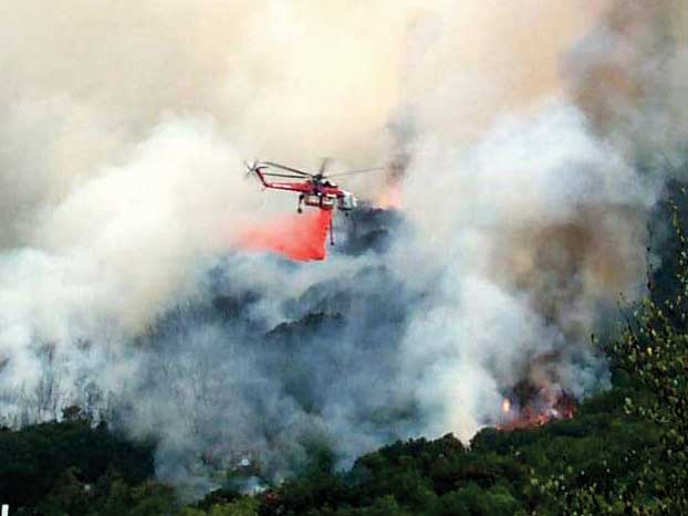
Throughout the deadly 2003 wildfire season in California, GIS played a critical role in helping firefighters, law enforcement personnel, and public information specialists respond quickly and effectively as the disaster unfolded. GIS maps enabled emergency responders to allocate manpower and equipment, evacuate citizens, and communicate damage reports to the public and the media. While these GIS applications grabbed the headlines, until now there was only a limited discussion of the impressive contributions made by mobile GIS technology during the firestorms. Firefighting supervisors carried GIS data on handheld devices into the field for real-time fire status updating. Based on positive experiences during the fire season, mobile GIS is set to emerge as a crucial information technology for responders at the front lines of wildfires and other rapidly evolving emergency incidents. Benefits Start With PreparationThe application of geospatial technologies to firefighting, including mobile GIS, actually began before the first Southern California fire ignited in 2003. Although the devastation ultimately charred half a million acres, destroyed 1,200 homes, and resulted in the deaths of more than a dozen people, losses could have been much worse if major GIS mapping projects were not started in 2002. At that time, the combination of drought, pollution damage, and bark beetle infestation had weakened many forests in Southern California, creating highly flammable areas of dead and dying trees. Officials in San Bernardino and Riverside Counties saw the potential for catastrophe and formed the Mountain Area Safety Taskforce. The task force, consisting of more than 15 local, state, and federal agencies, used GIS in implementing an Incident Command System for managing this potentially disastrous situation. One of the interagency incident command organization's objectives was the preparation of contingency plans for responding to fires in a coordinated manner. The agencies pooled GIS data, resources, and personnel with special attention to possible burn areas, evacuation routes, critical infrastructure, and emergency shelters. Numerous gaps in this data were filled through mobile GIS data collection efforts. To collect the necessary information, crews went into the forests, either on foot or by helicopter, equipped with GPS-enabled handheld devices running ArcPad that displayed basemaps or aerial photographs of the area. Because of the harsh, hot, and dirty environment, ruggedized devices—such as the Trimble GeoExplorer—were favored. Many of these mobile data collection efforts focused on mapping tree mortality rates from the air. Typically, helicopters flew the perimeters of tree stands while the mobile GIS device onboard collected data on the status and extent of the vegetation mortality. Information describing each tree stand polygon, such as percentage of dead trees and species type, was collected and later entered into the primary database. This information was important in determining and assigning fire danger priorities to various sectors of the forests. Many smaller features had to be mapped from the ground. Field crews mapped the features that become important when fire incidents occur. For example, fire hydrants are of critical importance. Forest clearings, school auditoriums, athletic fields, and other safe zones are also important because they can be used as evacuation destinations. Facilities classified as critical, such as schools, hospitals, and government facilities, were also mapped and characterized. Mobile GIS collection made it possible to fill in vital data gaps quickly without spending money on aerial surveys or satellite imagery. Having this amount of up-to-date forest, infrastructure, and resource information already loaded into a Web-accessible GIS before the fires occurred was a big factor in limiting the damage wrought by these fires. In the months leading up to the 2003 fire season, the Mountain Area Safety Taskforce made GIS maps publicly available over the Internet using an interactive ArcIMS Web site. Homeowners and business managers, especially in the mountain resort areas, viewed these maps online to see how close their properties were to high risk zones. Fortunately, many people took steps to thin foliage, remove dead trees, and create defensible areas around structures. Continued on page 2 |