ArcWatch: Your e-Magazine for GIS News, Views, and Insights
January 2011
Port of Los Angeles Unifies Operations with Data Portal
Comprehensive Information Access Gives Management Complete Awareness

geoPOLA was created using ArcGIS API for Microsoft Silverlight.
Due to the sheer volume of inventory that ships can carry, ports have larger and more complicated infrastructures than most gateways of commerce. Even the physical structure of ports change over time, with roads and railroads moved, new docks built, and new land added on a regular basis. That dynamic environment recently prompted Port of Los Angeles (Port of LA) officials to consider a complete enterprise geographic information system (GIS) implementation at their harbor-the busiest container port in the United States.
In 2009, the port hired Esri, GIS consultant NorthSouth GIS LLC, engineering firm Moffatt & Nichol, and information technology (IT) consultant Tech/Knowledge to create a system that would aggregate, serve, and share port data throughout all its divisions.
Primary Concern: Security
The Port of LA spans more than 7,500 acres, covers 43 miles of waterfront, and features 27 cargo terminals, including dry and liquid bulk, container, automobile, and omni facilities. Nearly 190 million metric revenue tons of cargo go through the port annually. With such a high volume of goods moving in and out and national security being a primary concern, the first order of business was to give operations, including the Port Police, access to every kilobyte of data related to the facility.
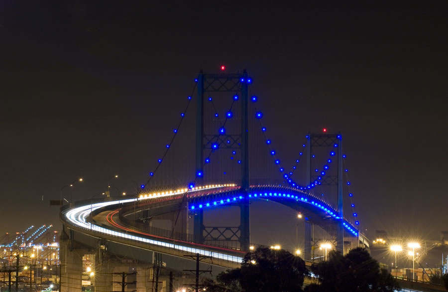
Port Police can access the port's asset and structural data with a few mouse clicks. This photo shows the Vincent Thomas Bridge, a 1,500-foot-long structure that connects San Pedro, Los Angeles, with Terminal Island. (Photo courtesy of Port of LA.)
"The initiative to improve data sharing began with the police," says Christine Thome, enterprise GIS manager at the Port of LA. "Port Police needed complete situational awareness, and that couldn't be had without a framework to access other divisions' data." Most of the data was locked up in GIS silos within the department, with no system in place to efficiently distribute information throughout the enterprise. The IT division knew that a simple intranet data portal, combined with the police division's file-based command and control software, would give police the comprehensive around-the-clock access to data that they needed.
"Optimizing the way our Port Police division makes decisions about where to dispatch officers was a top goal," says Thome. "We knew that an ArcGIS Server software-based system that consumed an automatic vehicle location [AVL] feed would provide a foundation for a robust Blue Force Tracking system that shows where all officers, vehicles, and vessels are at any given time."
geoPOLA Data Portal Launched
A significant portion of data at the Port of LA is dynamic information, not just static points, lines, and polygons. Constantly in flux, data such as ship locations, weather, and movable assets is just as crucial to know as fixed geospatial parameters. Without access to that information, complete maritime domain awareness (nautical speak for "common operating picture") wasn't possible.
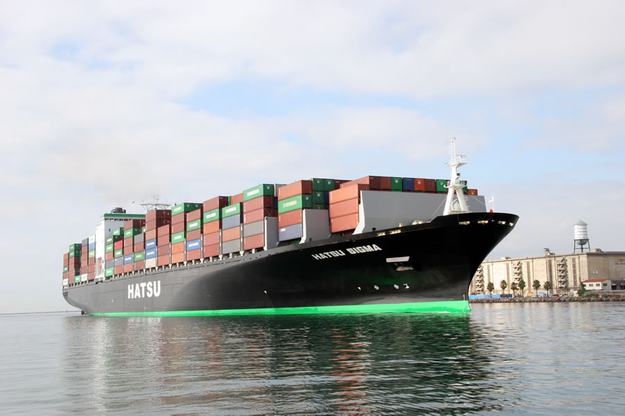
Each cargo ship that comes through the Port of LA contains associated data that needs to be shared throughout the enterprise. (Photo courtesy of Port of LA.)
"We created a viewer with ArcGIS API for Microsoft Silverlight that would display all enterprise data, including the dynamic data," says Daniel Elroi, president of NorthSouth GIS. "Since port data changes frequently in location, status, or both, the key to delivering optimal awareness across the board was to write software that combined static and dynamic awareness in one clean visual interface for everyone to view." Listen to a podcast with Elroi.
The Port of LA staff views data through the browser-based Silverlight viewer, which the port calls geoPOLA. Users praise the viewer for its ease of use, outstanding performance, and ability to show each team at the port the most relevant data layers for its specific work. The port's GIS editors, who maintain the ArcGIS Server enterprise geodatabase with both AutoCAD and ArcGIS, also appreciate that the same map services used in geoPOLA are also available in their desktop software when working on their GIS data.
Feeds and Metadata
It's important when implementing a modern GIS to integrate data from disparate sources. Thome and Elroi researched different data sources, looking for anything that the port could consume as a feed. "We needed to carefully research which feeds we would connect to the enterprise viewer," says Thome. "We had to be selective; we knew there were good feeds out there but also ones that wouldn't deliver the kind of information we needed." The final feeds they decided to include were vessels, radar, AVL, weather, traffic, and California Highway Patrol (CHP) alerts. New dynamic feeds can easily be added to geoPOLA through middleware that converts various formats into a standardized GeoRSS format.
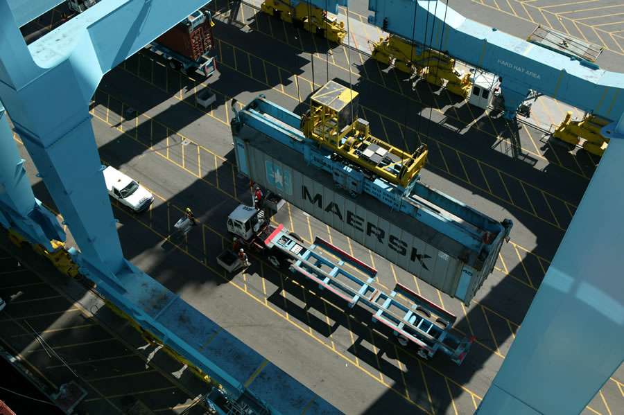
Nearly 190 million metric tons of cargo pass through the port annually. (Photo courtesy of Port of LA)
Almost as important as integrating dynamic data is creating metadata standards and procedures. For that, Elroi customized a metadata program that simplified the creation, tracking, and management of the port's finer-grained data.
"That program was invaluable in helping us set up our standards and procedures for capturing metadata," says Thome. "Without it, inputting this information manually would have taken forever."
As the nation's premier trade gateway, the Port of LA needed to unify its internal operations to remain efficient. The result was an easy-to-use data portal that coordinates information among its divisions and puts security personnel in sync with every aspect of port operations. Thanks to that newly reinforced infrastructure, one of the busiest ports in the United States will remain competitive for years to come.