ArcWatch: Your e-Magazine for GIS News, Views, and Insights
February 2011
ArcGIS 10 Goes Local
The Software Is Available in Six Languages, Including Simplified Chinese, French, and Japanese
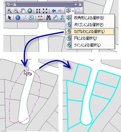
Work with ArcGIS in Japanese.
Esri software users can now work with ArcGIS 10 in languages other than English. The new languages offered are French, German, neutral Spanish, Japanese, and simplified Chinese. Akira Hayashi, Esri global release manager, answered several questions related to this important software localization program.
Wheeler: Why did Esri decide to directly get involved in localizing its software?
Hayashi: The distributors are doing a good job of localizing software in several languages, but Esri wanted to become more involved, in part to improve the quality of the products even more. Also, there is a large market out there for localized Esri software. More than 70 percent of people speak languages other than English. The number of Chinese-speaking Internet users alone is expected to exceed the number of English users very soon. Google is localized into 130 languages, with sites in 176 countries. Microsoft Windows 7 is localized into 36 languages. Microsoft Office 2010 is localized into 36 languages, plus 58 additional languages as language add-ins or Language Interface Packs (LIPs).
Wheeler: Does Esri offer multilingual products?
Hayashi: Yes. In the past, we only had to focus on one language installed on one computer at a time. In today's web world, it has all changed. Users from different countries are connected by the Internet or even intranets. This means multiple users from different countries can work together on one GIS [geographic information system] project. In such a world, interoperability with different languages is a must. ArcGIS Explorer, for example, is the first product we released as a multilingual product. It contains six languages. Users can simply toggle between languages. ArcGIS Desktop can also be installed in a multilingual fashion. Each user logging on to one machine from different remote login sessions can select a language of choice. Alternatively, a user could work on ArcGIS Desktop in a Spanish language user interface (UI) and share that data, while another user could consume the same data and work on it in a Japanese language UI.
Wheeler: What type of multilingual resources does Esri offer?
Hayashi: Esri's Resource Center and Customer Care Portal are both multilingual. Each of these websites is capable of displaying different languages based on the language of the incoming request. This model is far more efficient than maintaining different languages in a decentralized fashion from both a hardware and management overhead perspective.
Wheeler: Why did Esri choose German, French, neutral Spanish, Japanese, and simplified Chinese for the localization launch?
Hayashi: Our current language sets were chosen, in part, because other than English, they are the ones most commonly used on the Internet.
Wheeler: Will more languages be added?
Hayashi: Currently, we are planning to add at least three more languages when ArcGIS 10.1 is released.
Wheeler: Where can Esri customers find more information about the new languages offered for ArcGIS 10?
Hayashi: Customers in the United States can visit the Customer Care Portal for more information about how to get ArcGIS 10 in English, French, German, neutral Spanish, Japanese, or simplified Chinese. Customers outside the United States should contact their local Esri office for details.