ArcWatch: GIS News, Views, and Insights
February 2012
Access ArcGIS Online in Nine New Languages
Create, Share, and Browse for Geographic Content in Your Country's Language
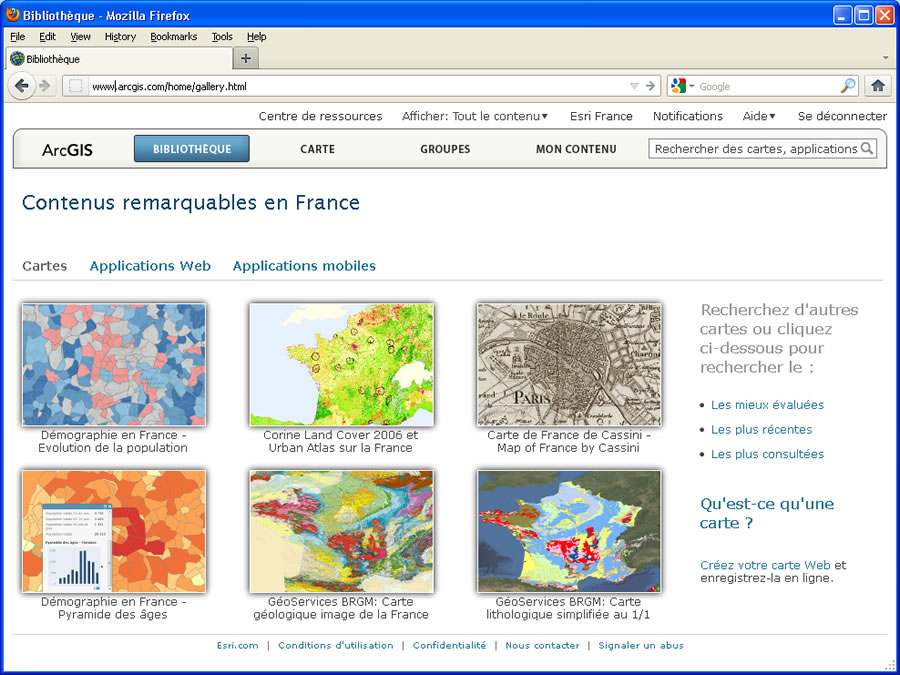
Users can now browse the maps gallery in one of the localized languages.
You can now work with ArcGIS Online in nine languages in addition to English, making it easier to create maps, share geographic content, and collaborate in your own language.
ArcGIS Online is now available in Arabic, French, German, Italian, Japanese, Portuguese, Russian, Simplified Chinese, and Spanish. The ArcGIS Online website automatically detects your web browser language preference and then presents the appropriate language. Once you log in, you can change your language and region setting by going to your user profile.
Some ArcGIS Online content—for example, featured content on the ArcGIS Online home page, and the map, web, and mobile applications galleries—will be displayed based on your region preference. The map viewer and ArcGIS Explorer Online will default to a country-specific basemap extent as a starting point for authoring new web maps. For example, setting a region preference of Russia will automatically provide you with a default basemap of Russia.
You can then choose from among several global basemaps (e.g., imagery, streets, topographic), which include detailed data for dozens of countries around the world.
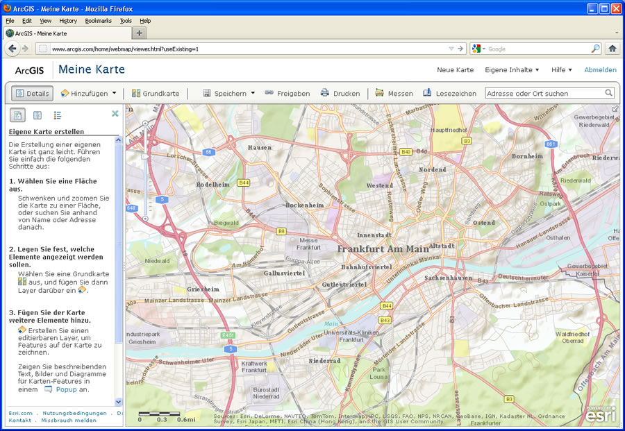
The localized map viewer user interface provides instructions and menu links in the localized languages.
For selected countries, additional local basemaps published in local coordinate systems may also be available.
Additional resources available within ArcGIS Online are also being localized. The Details page for key items, such as featured map services, web maps, or web applications, will contain a description of the item and any other metadata in one of the languages. The same is true for featured groups, templates, symbols, and colors used in the website.
Localizing ArcGIS Online into nine languages is just the beginning. In the coming months, ArcGIS Online will be translated into more languages and expanded with featured content for more countries to truly offer a global experience.