ArcWatch: GIS News, Views, and Insights
February 2012
GeoDesign Summit Lightning Talk Winners Announced
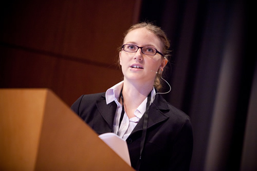
Abby Jones spoke about using geodesign as part of the process of converting distressed properties into green space.
The 16 Lightning Talks presented at the 2012 GeoDesign Summit covered a wide variety of topics, including how geodesign is being used to create a university campus, protect chimpanzees and their habitats, and save people's lives.
Two speakers were selected as Best Lightning Talk winners: Abby Jones from Anthro/Ecological Design Collective and Ryan Perkl, assistant professor of the School of Landscape Architecture and Planning at the University of Arizona. The GeoDesign Summit organizing committee chose the winners.
Jones won for her presentation Red Fields to Green Fields—Los Angeles. She is a recent graduate of the Master of Landscape Architecture program at California State Polytechnic University, Pomona.
She presented her student team's project outlining a case study on how to revitalize the economy of Los Angeles by converting vacant, foreclosed, or underutilized urban properties (red fields) to any green space that benefits the community (green fields). Her presentation covered regional, neighborhood, and site-level design and its cumulative impact using GIS.
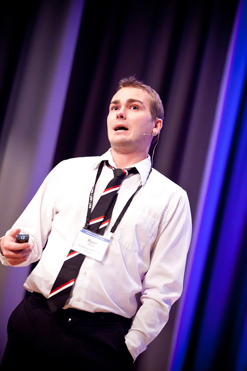
Ryan Perkl talked about how vegetation patterns affect how species move across a landscape.
"Abby's talk was a real-world example of how landscape architects can use GIS to solve major societal issues that interlink the environment, economics, health, and equity," said Shannon McElvaney, project manager for GeoDesign Services at Esri.
Perkl was recognized for his presentation Geodesigning Landscape Linkages: Coupling GIS and Corridor Design in Conservation Planning.
Perkl, who works primarily in conservation planning, shared the research he's doing with his students. They examine how vegetation patterns affect the ways species move across the landscape. Perkl uses various modeling tools in his research, determining the best routes for a species to travel freely and safely between disconnected areas of its natural habitat. The presentation showed how spatial analysis plays an important role in influencing better decisions for land-use planning and design, ultimately aiding conservation efforts.
"Ryan's extensive library of species types and their requirements will be invaluable to geodesign practitioners seeking a balance between the needs of human beings and other species," said McElvaney.
To watch these presentations and the rest of the conference proceedings, visit geodesignsummit.com.