ArcWatch: GIS News, Views, and Insights
February 2012
New Book Offers Insights into Teaching and Learning with GIS
From Canada to South Africa

Authors from 33 countries contributed to the book.
Teaching GIS on cell phones. Taking GIS and GPS into national parks to do fieldwork. Teaming a high school with a local college to provide paths to students interested in geospatial careers.
These are just a few of the innovative ways that educators around the world spark students' interest in GIS that are featured in a new book, International Perspectives on Teaching and Learning with GIS in Secondary Schools. Esri education manager Joseph Kerski teamed with Fatih University geography professor Ali Demirci and University of Texas, Arlington, geography professor Andrew J. Milson to create and edit the book.
Authors from 33 countries contributed, illustrating how students learn GIS and how instructors teach with GIS around the world. Countries from six continents were represented in the book, including Hungary, Malta, Germany, China, Colombia, and the United Arab Emirates. Watch a video made by the three editors that introduces the book's goals.
GIS has revolutionized the way people explore and understand the world around them, including in education. Students and instructors are using this technology in secondary-school classrooms worldwide to study social and scientific concepts and processes, broaden their technical skills, and solve problems and make decisions about local and global issues. This book, published by Springer, is the first publication to collate a broad international perspective on the pedagogical value of GIS technology in classrooms and offers a range of expert views on the subject. The book offers evidence that GIS provides a strong geographic framework and critical thinking skills that will serve students well in the future.
Each country chapter includes a summary of the country's educational context, a case study illustrating how GIS is used in secondary schooling, and an assessment of the opportunities and challenges in teaching and learning with GIS now and in the future. GIS pioneer Roger Tomlinson wrote the book's foreword. The book ends with reflections on the progress made in teaching and learning with GIS over the past 20 years, key trends for the remainder of this decade, and recommendations as to what needs to happen to meet the goal of engaging all students in thinking spatially.
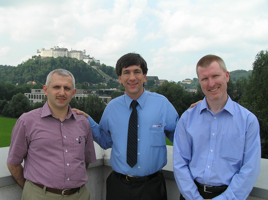
Ali Demirci, Joseph J. Kerski, and Andrew J. Milson edited the book, which describes innovative ways to teach students geospatial and GIS skills.
The book demonstrates that GIS is not only a technological tool to be used in the classroom but also a catalyst for motivation, encouragement, and cooperation in understanding and solving global problems. Esri has had a long history of supporting GIS in education.
A panel of the book's authors will speak about the accomplishments made in GIS in education in their respective countries at the upcoming Association of American Geographers annual meeting in New York City, February 24-28, 2012, and at the Esri Education GIS Conference, July 21-24, 2012, in San Diego, California.
Visit Springer's website to purchase the book, read portions of it, or read the reviews.