BroadbandStat Goes Live Online
By Susan Harp, Esri Writer
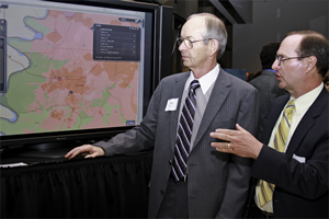 BroadbandStat was demonstrated at the Technology Policy Exhibition on Capitol Hill in Washington, D.C., by Esri's Jim Geringer, left, director of policy and public-sector strategies, and Randy Frantz, telecommunications and location-based services industry solutions manager. |
Recognizing that the United States has fallen to fifteenth place in the world in access to broadband Internet services, Congress passed $7.2 billion in funding for expanding broadband services. The funding was part of the American Recovery and Reinvestment Act of 2009 (ARRA).
Some of the money was allocated for creating maps to show where broadband coverage currently exists in each state. Esri teamed with Connected Nation to develop BroadbandStat, a Web GIS application, to meet this need. States can use BroadbandStat to map broadband coverage; incorporate information gathered from a variety of sources, such as service providers and survey assessments; and to pinpoint where the expansion of new broadband services will help support local economic development.
Twelve U.S. states and Puerto Rico will use BroadbandStat to organize their broadband services data and make interactive maps available on the Internet. Currently Illinois, Ohio, and Tennessee have launched their BroadbandStat Web sites and made them available to the public. (Visit Connect Illinois, Connect Ohio, and Connected Tennessee.)
"The assembly of data from major [broadband] providers is key to a comprehensive portrait of statewide coverage," said Morton O'Kelly, chair of the Department of Geography at Ohio State University. "As a geographer, I am immediately able to see significant regional contrasts as well as gain a greater appreciation for the challenges facing providers as they attempt to complete coverage in lower-density rural areas."
 BroadbandStat reveals this unserved neighborhood (marked by a green circle) in Tennessee that's ready for broadband service expansion. |
Online access gives people an easy way to learn about broadband access in their states. When the maps are complete, they can see where cable, mobile, or DSL broadband is available; show statewide results by census block; and zoom in on results all the way to the street address level. The menu also gives visitors one-touch buttons that map information related to each state's demographic data, broadband and Internet adoption rates, and computer ownership rates (when the data is available).
"Now, business and industry can use this tool for relocation decisions, home buyers can use this while shopping for a home, and government and ECD [Department of Economic and Community Development] can use it for planning purposes," said Daryl Phillips, executive director of the Hickman County, Tennessee, ECD.
In January 2010, Esri and Connected Nation demonstrated BroadbandStat to policy makers, telecommunications industry executives, and government agency representatives at two Capitol Hill venues in Washington, D.C.: the Technology Policy Exhibition and State of the Net Conference. Both focus on federal information technology policy. The Congressional Internet Caucus Advisory Committee, a private-sector organization that educates policy makers on Internet-related issues, sponsored both events.
Visit www.esri.com/bbstat to learn more about BroadbandStat and link to live sites.