Fast Facts
Tippecanoe County
Where: Northwestern Indiana
Population: More than 150,000
Additional data: Encompasses almost 500 square miles and includes 13 townships, 7 cities and towns, and more than 67,000 real estate parcels
Indiana County Migrates Data to an Enterprise Geodatabase and Resolves Parcel Maintenance Backlog with GIS
In 1997, Tippecanoe County in Indiana was using a blend of GIS technology and computer-aided design (CAD) to maintain its cadastre database. At that time, it was converting CAD files of cadastral map data from the county's old plat map books and integrating them with digital orthophotography to create a new county basemap. Later, many data layers were added, including extensive data provided by the City of Lafayette.
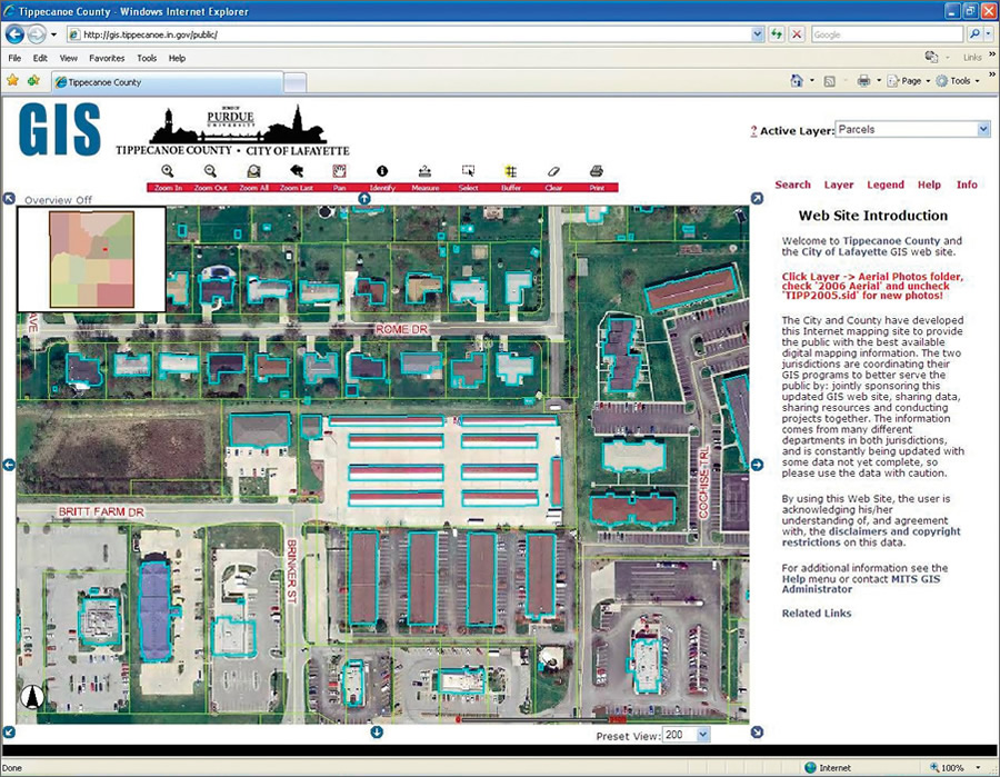 The Tippecanoe County GIS Web site includes property data; water and transportation features; and contours, voting, safety, health, utilities, and assessment information. |
As the demand for GIS grew within county departments, so did the number of competing software solutions. In some cases, county employees were still using both CAD and GIS to manage parcel data.
In 2004, the county developed a GIS-based Web site at http://gis.tippecanoe.in.gov/public/ and selected Esri's ArcIMS to deploy the many GIS data layers integrated with its tax cycle data. The Web site includes property data; water and transportation features; and contours, voting, safety, health, utilities, and assessment information.
"In addition to using ArcIMS for our Web site applications throughout the county, we also began using ArcGIS Desktop for data analysis and map production," says Mark Ehle, Tippecanoe County's GIS administrator.
However, since the Web site included data from two GIS software providers, it could not serve information in an efficient and time-effective manner. To rectify that situation and improve maintenance, Ehle says a decision was made to go with one solution. "We eventually reached a point where Esri software was being used for everything but our parcel maintenance, of which we had a significant backlog. It became logical for us to address the backlog and a data conversion simultaneously with an Esri solution."
After researching its options, Tippecanoe County chose Esri business partner the Sidwell Company to migrate all county GIS data into a tagged model inside an Esri geodatabase.
The Sidwell Company used several preprocessing steps to ensure data integrity before the linear data was converted. An enterprise geodatabase, which allows multiuser editing and supports versioning, was created, and the county's parcel inventory was loaded into Sidwell's ArcGIS software-supported Parcel Builder Administrator software.
"ArcSDE allowed us to split up parcel maintenance tasks based on the various strengths of our staff," Ehle says. "We were already using a tagged data model, and Parcel Builder allowed us to maintain our investment in that structure. The ArcGIS Publisher extension, along with Parcel Builder, has also allowed us to increase distribution of our data to those without access to GIS software."
The county also had Sidwell's Mapping Services Department perform the work necessary to eliminate its parcel maintenance backlog. Sidwell provided Parcel Builder software and training on editing in ArcGIS Desktop as well as training on all four of the Parcel Builder modules.
"The data transition was smooth, and the quality control process helped us find and correct errors in our GIS data that we were not aware of," says Ehle.
Through extensive coordination with the City of Lafayette, Tippecanoe County has improved GIS services to its staff, as well as provided better government services to the community, by sharing data via its GIS Web site. The Esri enterprise geodatabase implementation has allowed the county to easily serve GIS data to its Web sites. Data no longer must be converted to shapefiles before being posted to the Web. The county also has an electronic submission ordinance for new subdivisions and surveys, and the transition to the geodatabase and Parcel Builder has eliminated several steps previously required to integrate files into cadastral data.
Tippecanoe County also has increased its parcel map maintenance productivity because of the streamlined GIS maintenance workflows that Parcel Builder brings to the table. Additional return on investment will be realized as Tippecanoe County deploys its GIS to new users at the county with Parcel Builder MapViewer.
The county is well positioned to continue developing its GIS. Plans include providing access to plat book pages as PDFs on its Web site.
For more information about Tippecanoe County's data migration project, contact Mark Ehle, Tippecanoe County GIS administrator, at mehle@tippecanoe.in.gov.