ArcWatch: GIS News, Views, and Insights
May 2012
Developers Talk Shop at the Esri Developer Summit
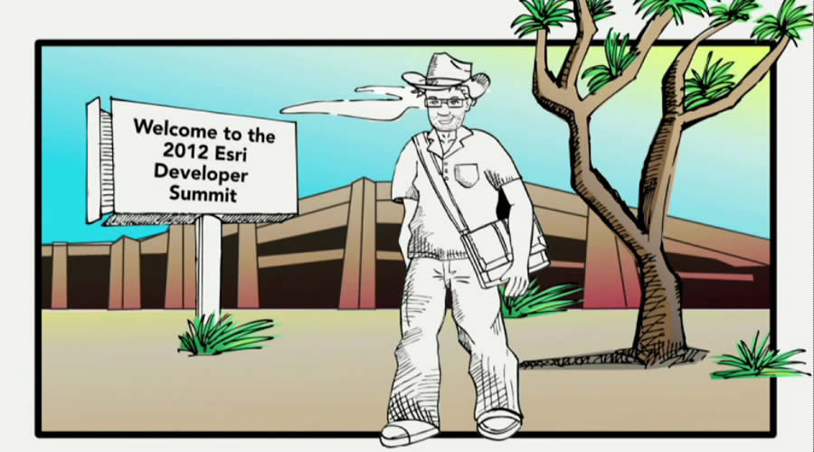
The Dev Dude finally arrives in California for the Esri Developer Summit.
"I've coded everywhere, man. I've coded everywhere, man. Crossed the cloud so bare, man. I've breathed the silent air, man. Zeros, dots, and ones, man. I'll code anywhere."
That's one snippet from "I've Coded Everywhere," the song from the animated video that opened the 2012 Esri Developer Summit (DevSummit). Like the Dev Dude character, who sang about his coding journey, more than 1,700 developers, GIS professionals, and business partners from around the world traveled many roads to reach the event, held March 26-29 in Palm Springs, California. Daytime temperatures soared into the 80s, pleasing first-time attendee Joel Duda, who left snow behind in Canada. "It's been an awesome conference," he said. "I flew out of Alberta in a blizzard, so the weather helps, too."
Duda's interest in the DevSummit mirrored that of the others who filled Palm Springs Convention Center. They filled rooms for technical sessions, hands-on training, demonstrations, and user presentations to learn more about Esri technology that would help them on the job, creating applications for the desktop, web, and mobile devices.

The DevSummit is designed for developers by developers, said Jim McKinney, ArcGIS program manager at Esri.
Esri packed a lot into four days: 16 presummit seminars, including training in Dojo, Python, and JavaScript; a Plenary Session with presentations covering ArcGIS 10.1 including ArcGIS 10.1 for Server, Python, native application development, and ArcGIS Online; 72 technical sessions; 42 Demo Theater sessions; 36 user presentations; a GIS EXPO featuring all Esri products; and events including Speed Geeking and a Meet the Teams reception poolside, where people socialized and talked shop. Steve Riley from Riverbed Technology demystified the cloud in his keynote, In the Cloud: Everything You Think You Know Is Wrong.
"Our theme is For Developers, By Developers," said Jim McKinney, ArcGIS program manager at Esri. "We've stayed the course for the last few years of sharing best practices and development patterns, learning about new technologies, solving problems, talking about new ideas, collecting your feedback, and strengthening and building relationships. And that is what this week is all about—one-on-one time, building community." Read the article "The Top 10.1 Takeaways from the Esri DevSummit."
Developers Get Technical
Amy Wright Webber—who, with Emily Hilton Goforth, just launched LongView Consulting Services, LLC, headquartered in Olin, North Carolina—arrived at the DevSummit thirsty for knowledge. She won a complimentary pass to the DevSummit at a Dev Meet Up in Charlotte, North Carolina. Wright Webber used the opportunity to attend technical sessions that would help her sharpen her developer skills. Part of her focus as a consultant will be working with utility companies on web and mobile application development.
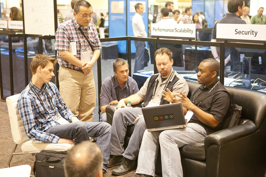
People share ideas and talk about solutions at the DevSummit.
"The [Esri] teams were accessible, attentive, and able to answer all of my questions," said Wright Webber, who was interested in learning more about ArcGIS 10.1 for Server, the ArcGIS Image Extension for Server, and ArcGIS for SharePoint, among other products. "I didn't always get the answer I wanted. But it is better to know definitively than to be concerned that you just have not located that missing detail that would answer the question."
Wright Webber was impressed by the technical presentations. "The level of technical expertise and helpfulness was amazing," she said. "I literally asked a question at one presentation, [and] they grabbed an Esri person they thought had done something that would help me and walked me back to their station in the technical booth, sat down and showed me how to solve my issue, then posted sample code for me to get me started. Absolutely fabulous!"
She enjoyed the social aspects of the event, too, including the Thursday night party and the dodgeball tournament. "All of that was a lot of fun—geekfest plus beer, food, and games. What more could you want?"
Duda, the software developer from BlackBridge in Lethbridge, Alberta, got the chance to learn more about Esri's ArcGIS API for Flex, which his company, a satellite imagery provider, is considering using for an application that one of its customers needs for mapping where to spray drilling mud (mud extracted during the drilling of oil wells) onto farmers' fields.
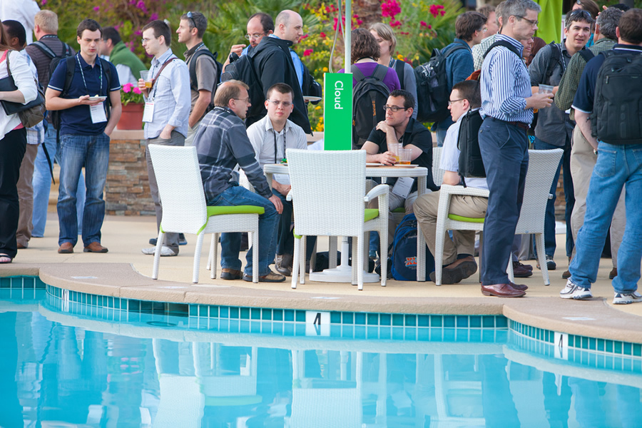
The Meet the Teams gathering drew developers from all over the world.
"We have a service that allows [technicians] to bring up satellite imagery of the farmer's field they intend to spray on," said Duda. Regulations prevent the spraying of drilling waste too close to water bodies, and rules govern spraying over buried pipelines.
"We allow the technician to plot the area he intends to spray and then download the GIS information into the vehicle that will actually spray the waste. This allows it to stop spraying the waste if it is too close to a water body," said Duda. After the spraying ends, GPS information from the vehicle is uploaded back into the application, which later goes into a report to the government, along with a satellite imagery page showing the area sprayed.
The summit gave Duda the chance to investigate using ArcGIS API for Flex for the application's mapping solution. "It's pretty much exactly what we want," he said, citing a "robust suite of tools" for custom drawing and more.
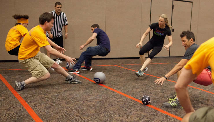
The dodgeball tournament brought out the players' competitive spirit.
Developers Make a Difference
In his remarks at the plenary, Esri president Jack Dangermond encouraged the developers to share their knowledge with each other during the week. "I always have in my belief system that technology is going to answer the problems of the world," he said. "There are a lot of problems out there . . . The bright light is what you guys are doing and what we are doing collaboratively to be a counterforce to those issues [like] climate change and population growth."
Developers are on the front lines, building solutions with geospatial technology that will help users tackle problems. "We have to believe that we can make a difference, and you particularly—the developer community, working and innovating with our tools and making a difference—are extraordinarily important," Dangermond said.